.svg)
IndustriesSites & infrastructure
Scanning sites and infrastructure
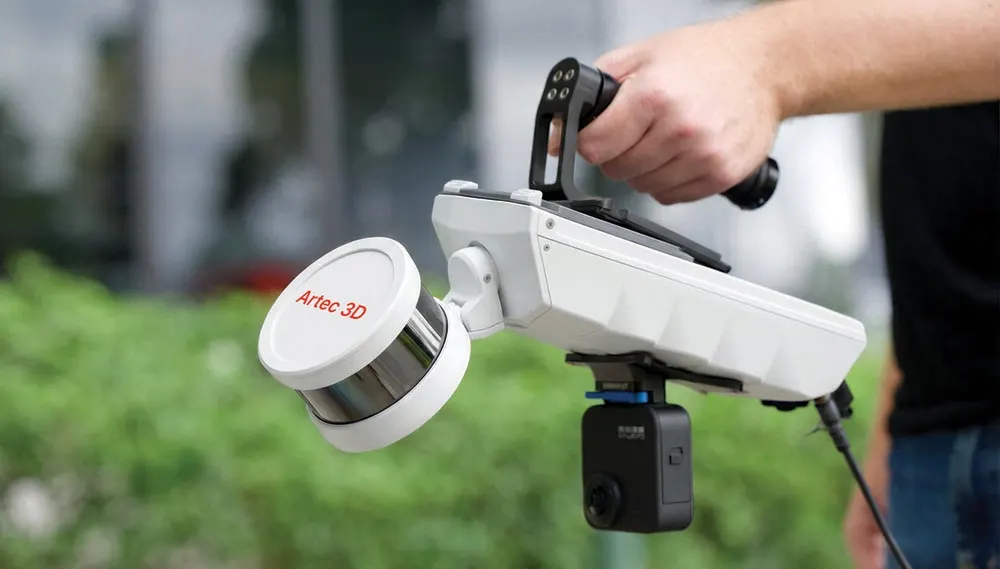
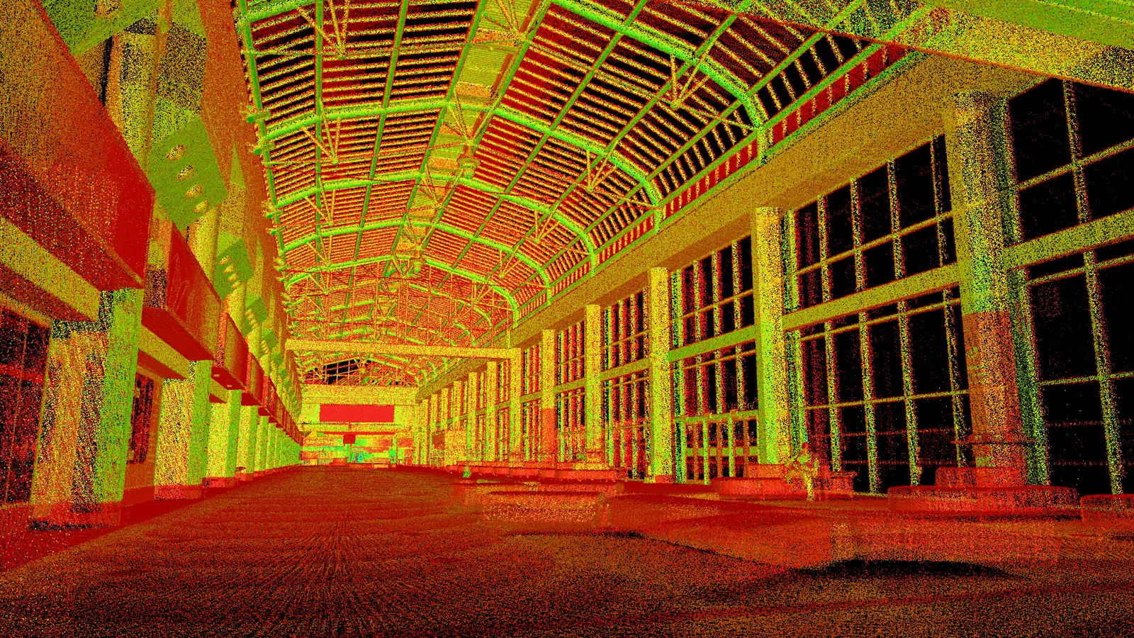
Whole sites: construction progress, stockpiles, bridges, tunnels and confined spaces. At this scale coverage and speed matter as much as accuracy. We map on the move with SLAM LiDAR, fix the critical areas from a tripod and add handheld detail where a close look is needed.
- Surveyors and geospatial
- Civil engineering
- Quarrying and mining
- Construction
- Utilities and energy
- Rail and highways
- 0.5 to 300 m
- Artec Jet range
- ±10 mm
- Jet mapping accuracy, indoors and underground
- 130 m
- Ray II tripod range
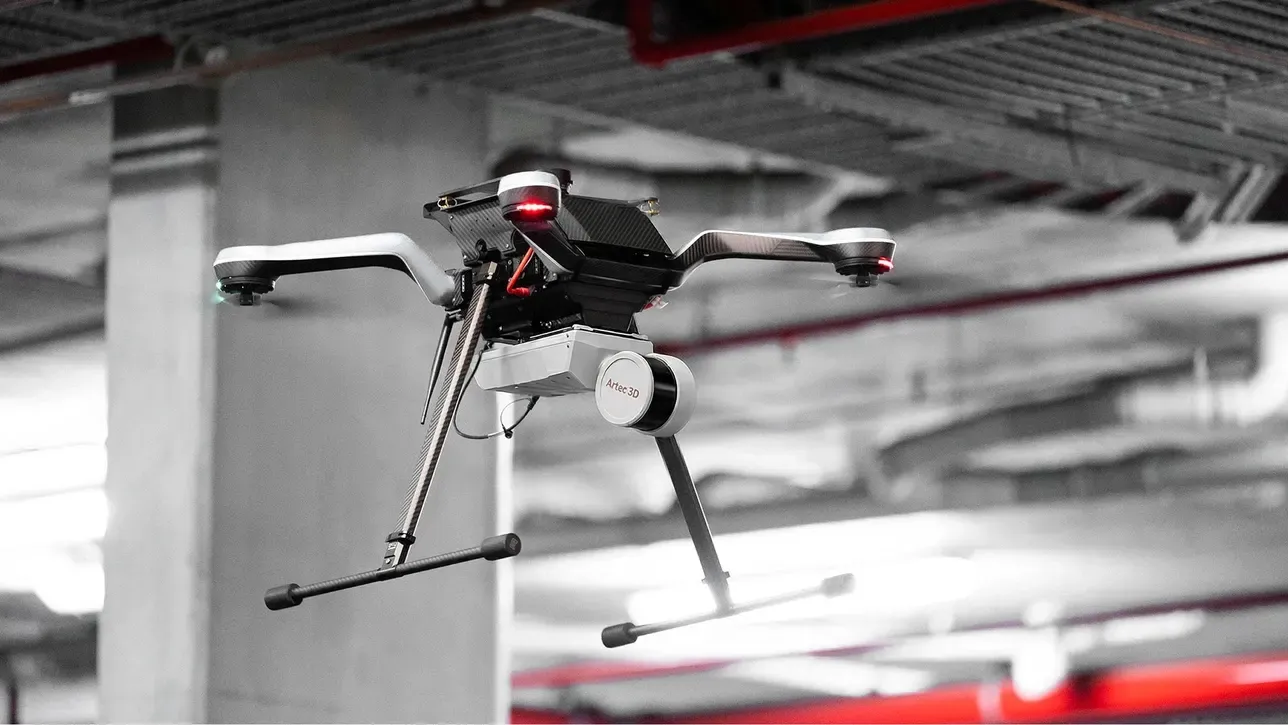
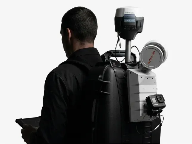
What a site job looks like
Ground, structures and the spaces underneath
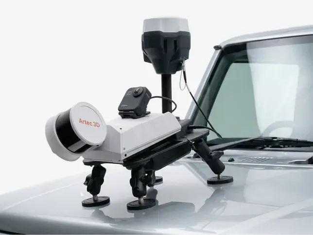 Stockpile volumesAggregate, coal, salt, biomass and spoil captured on foot, by vehicle or from a drone, with each volume reported alongside the surfaces it was computed from so anyone can check it.Read more
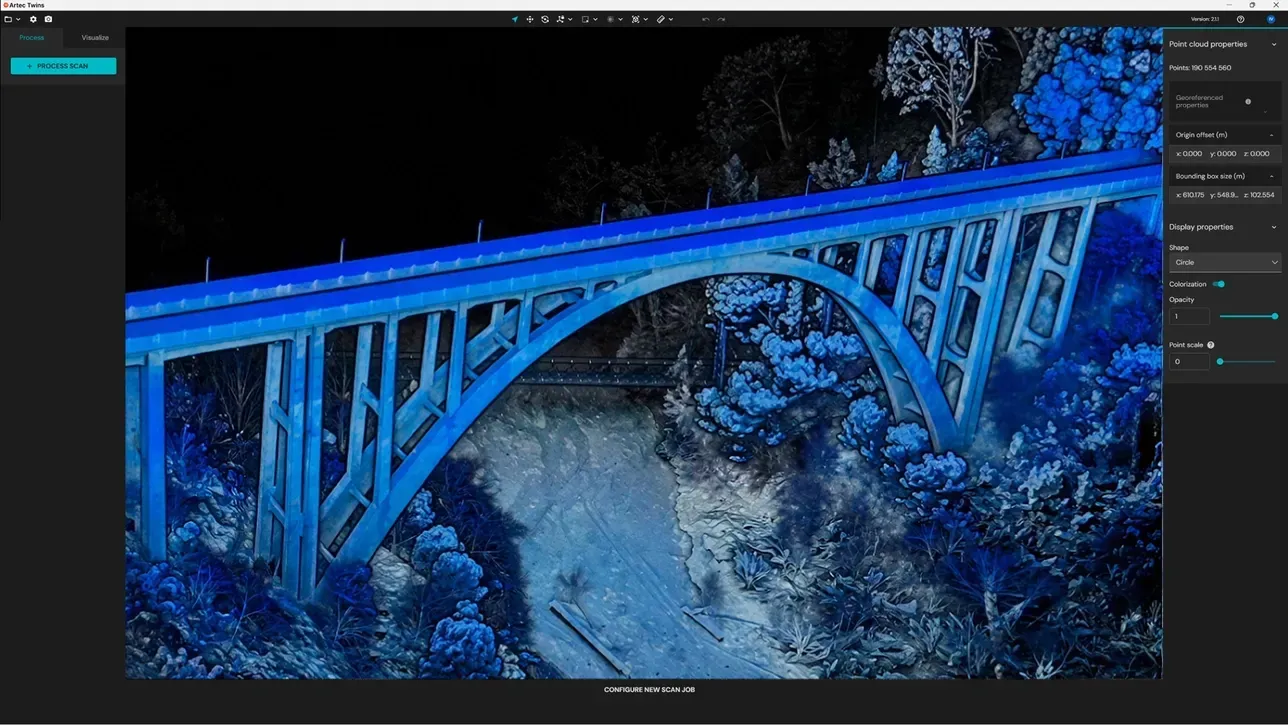 Bridges, rail and highwaysStructures captured as built for handover and assessment, georeferenced to site control or RTK, with deviation from the design model reported where it matters.Read more
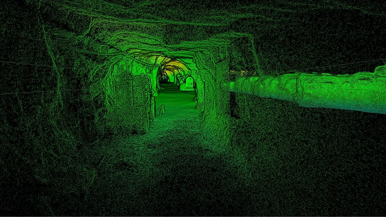
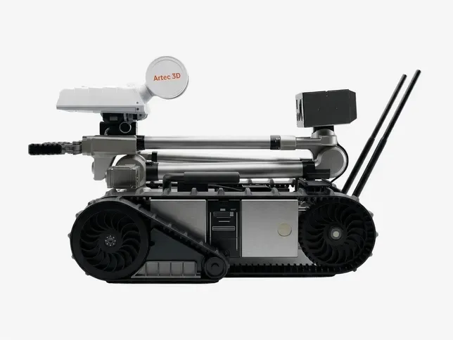 Tunnels, mines and confined spacesSLAM works where there is no GPS, building the map as it moves. Where an area is unsafe for people, the Jet goes in on a robot.Read more
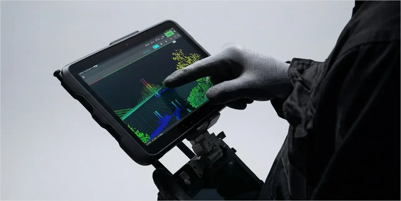 Topography and landGround levels, banks and features as a dense cloud rather than a scatter of spot heights, with drone capture for the tops nobody can reach from the ground.Read more
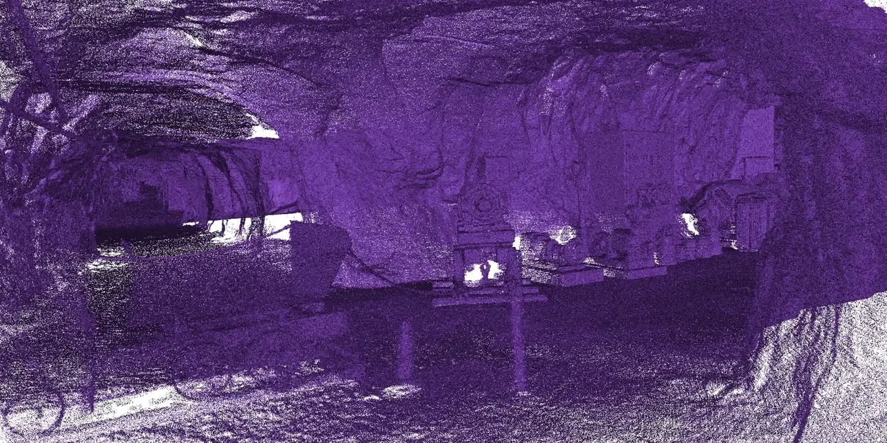 Change and progress monitoringCapture, come back, capture again and get the difference: settlement, erosion, deformation or construction progress, over the whole surface rather than a few prisms.Read more
Why a site needs more than one scanner
No single machine does a whole site well
- 01
Coverage against accuracy
Tripod LiDAR is the more accurate over distance; SLAM is far quicker over large or complicated ground. A site captured with only one is either slow or soft where it matters.
- 02
No GPS, no safe place to stand
Underground or inside structures there is no satellite signal and often nowhere to set a tripod. SLAM maps from what it sees. The Jet can go in on a vehicle or robot.
- 03
Detail the long-range scanners miss
At 10 m the Ray II resolves 3 mm at best. Valves, fixings, carvings and damage need a handheld scanner up close, merged into the same model.
- 04
Live sites
Moving plant, other trades and site rules. Mobile capture keeps us out of the way and a drone keeps clear of it altogether.
- 05
Real-world coordinates
A cloud that does not sit in the project’s coordinate system cannot be compared with design or with last month. Every visit ties to site control or RTK.
LiDAR plus handheld
How we combine the Jet, the Ray II and a Leo or Eva on one site
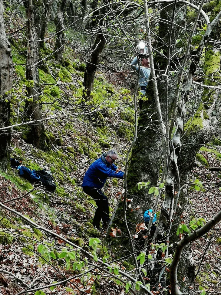
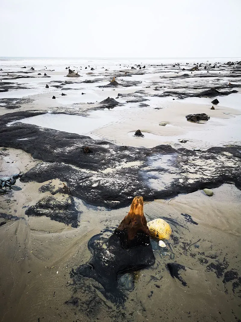
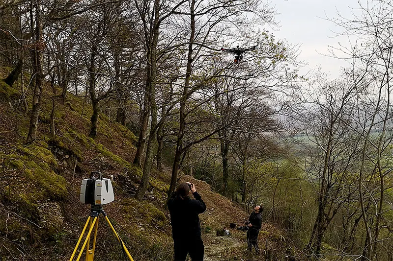
On the Borth oak tree we combined a handheld Artec Leo for the lower trunk, terrestrial LiDAR for the mid-section and drone photogrammetry for the canopy, then registered all three into one model. Every site job works on the same principle: each machine for what it does best.
- 1
Plan the control
Site control or RTK in your coordinate system, plus routes that close into loops, so every dataset lands in the same place.
- 2
Map the site with the Jet
On foot, backpack, vehicle or drone, the Jet covers the whole site at walking or driving pace, out to 300 m, including areas with no GPS.
- 3
Fix the critical areas with the Ray II
Tripod stations where accuracy matters most: the structure being assessed, the interface being designed, the area being monitored. 1.9 mm at 10 m on Artec’s figures.
- 4
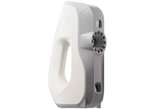
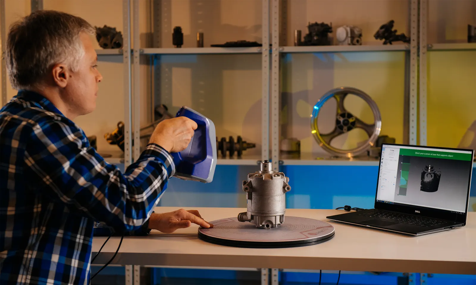
Add close detail with a Leo or Eva
Handheld capture of the features the long-range scanners cannot resolve, in colour where it helps.
- 5
Register into one dataset
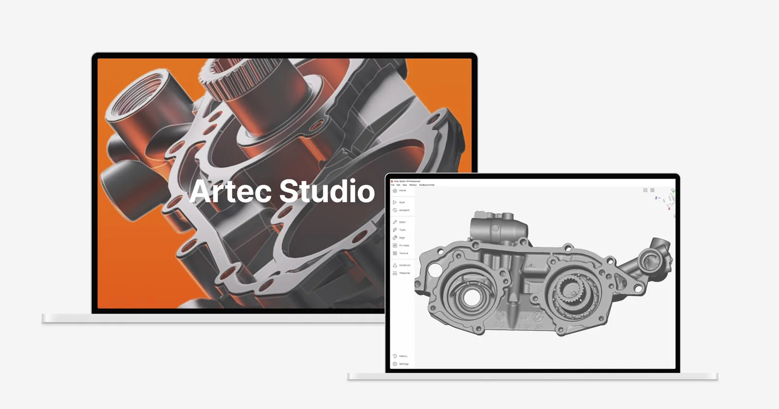
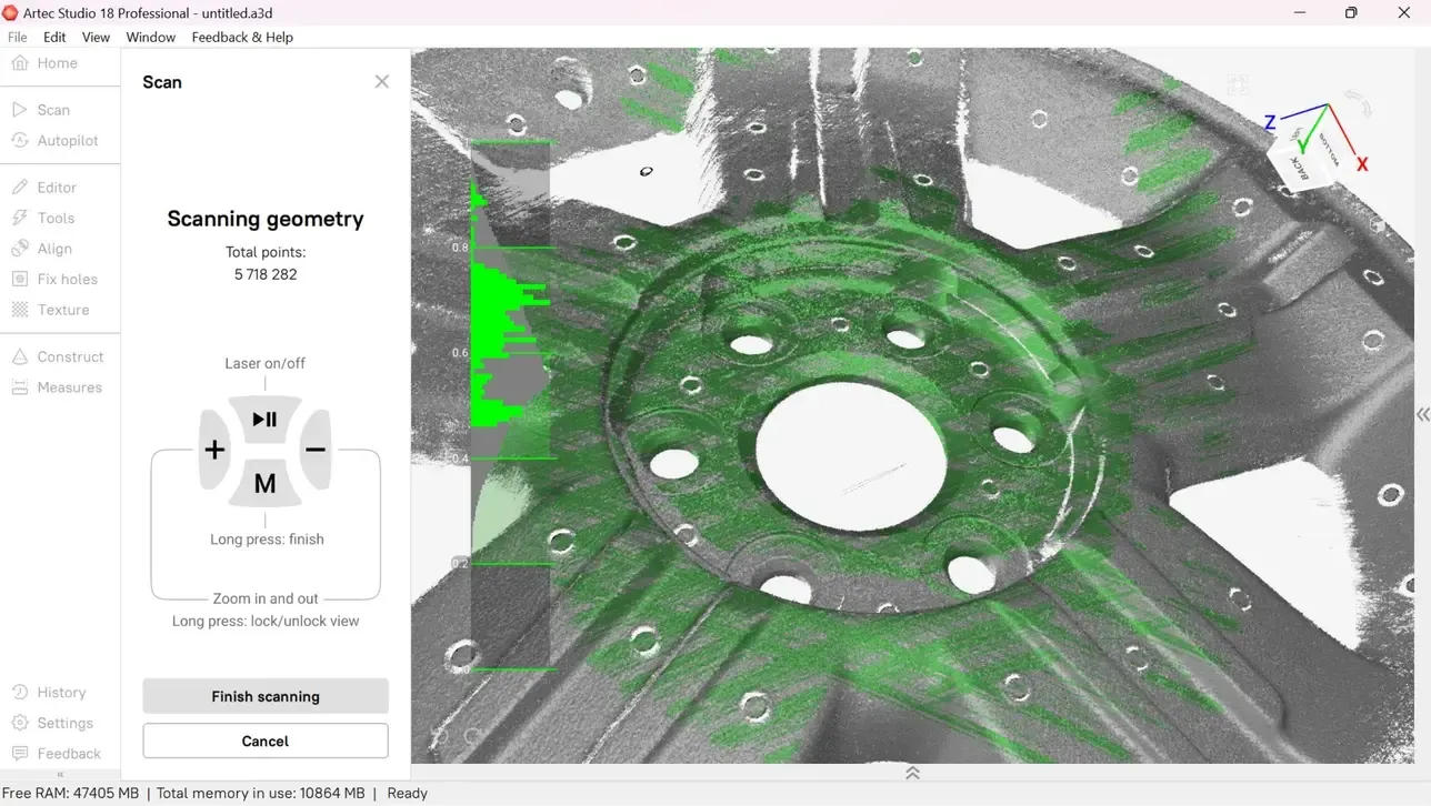
Artec Studio merges Ray II and handheld data with adaptive meshing, keeping higher detail where the handheld scanned. The result is delivered as a georeferenced cloud, mesh, sections or volumes.
Kit for sites
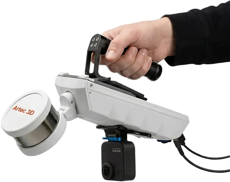
The Jet for coverage, the Ray II for control and accuracy, a Leo or Eva for detail. Mounts, RTK base stations and drone kits for the Jet are quoted to the survey.
£32,340ex VAT
Find out more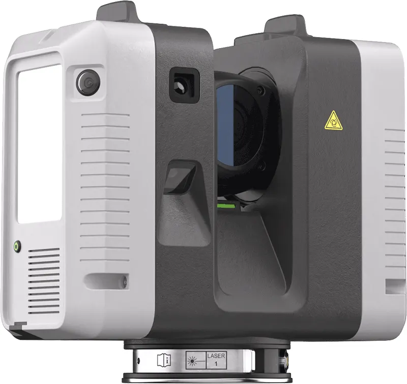
£49,938ex VAT
Find out more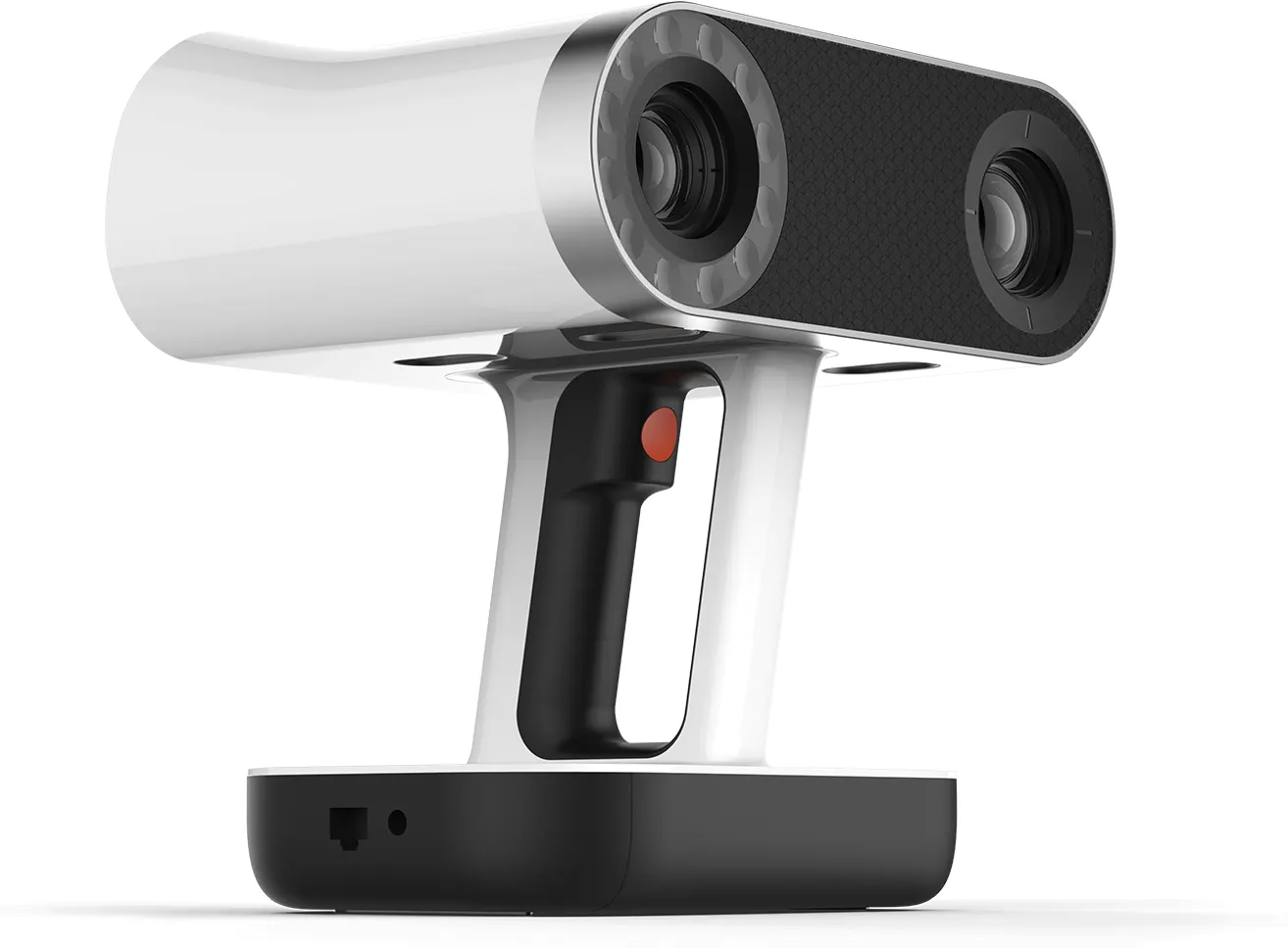
£29,232ex VAT
Find out more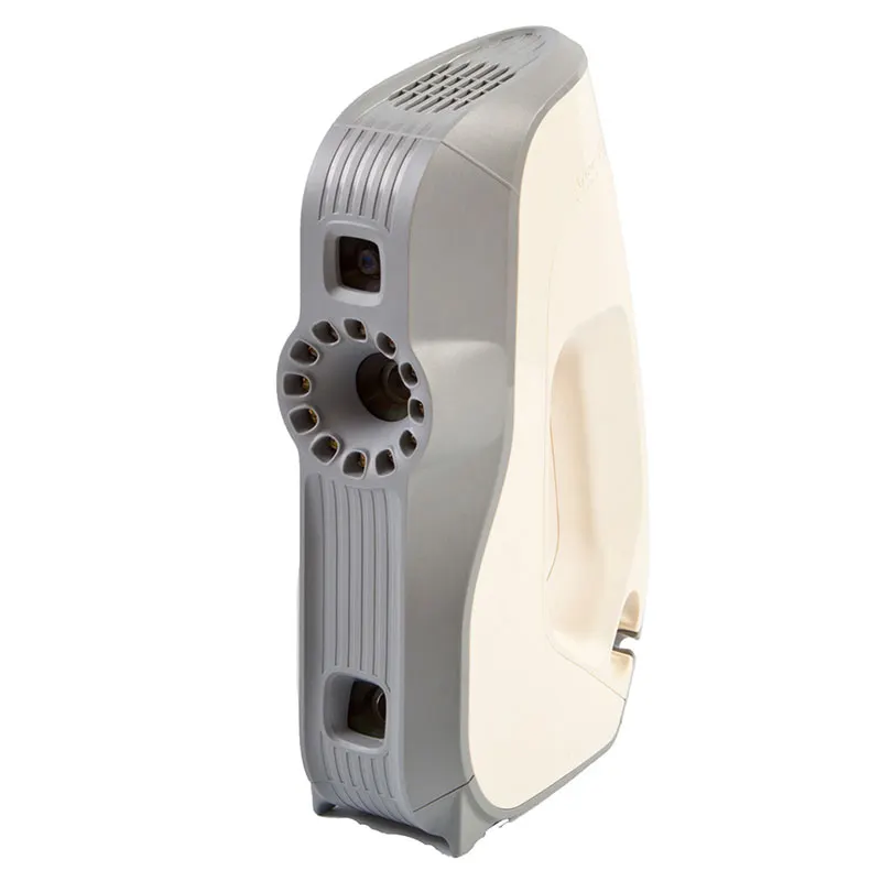
£8,316ex VAT
Find out moreCombination scanning in practice
Jobs we did ourselves, written up with the people we did them for.
Processing
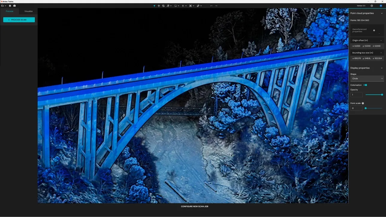
Artec Studio handles Ray II registration and the merge with handheld data. The Jet runs in Artec Twins; our one-day courses cover both.
Questions we get asked
Something else? Ring 0330 229 0175 and an engineer will answer it.
Not answered here?
Ask the engineers who run the machines. We answer the same working day.
Jet or Ray II?
The Jet maps on the move and is faster for whole sites or GPS-denied spaces. The Ray II gives the highest accuracy and detail in a focused area. Many jobs use the Jet for coverage and the Ray II where accuracy matters most.
How accurate is mobile mapping?
For the Jet, Artec publish up to ±10 mm mapping accuracy indoors and underground. The figure is ±15 mm in general environments and ±5 mm for change detection.
Can you work underground or where it is unsafe?
Yes. SLAM needs no GPS. Where people should not go, the Jet can be mounted on a robot and sent in.
What coordinate system will the data be in?
Yours. We tie into site control or use RTK in the system your project works in. Repeat visits use the same control so captures compare.
Can you give us tonnage for stockpiles?
Yes, if you give us the bulk density for each material. We report the volume, the tonnage that density gives and the surfaces both were computed from.
Can our team learn to run the Jet?
Yes. We sell the Jet and run a one-day Artec Twins mobile LiDAR course. We also run a one-day Artec Studio LiDAR course for the Ray II.
Tell us about the site
Location, size, access and what the data is for. That decides the mix of Jet, Ray II and handheld. We will quote it properly.