.svg)
Laser scanning and reality capture
Drone 3D scanning
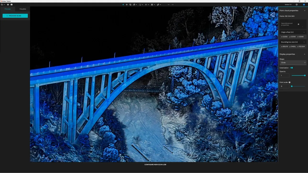
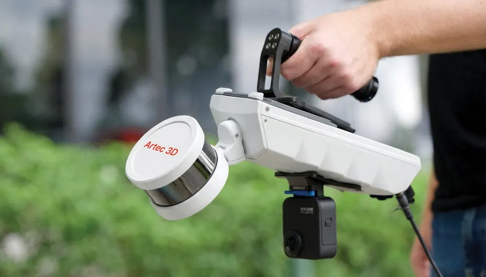
The view from above that ground scanners cannot get. Aerial LiDAR with the Artec Jet as a drone payload plus drone photogrammetry for colour, combined with ground scanning into one dataset where the job needs both.
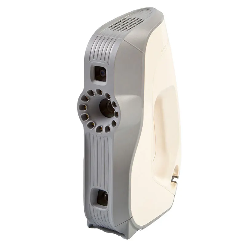
- Artec Jet drone payload
- Aerial LiDAR
- With handheld and tripod data
- Combined
- GPS and RTK
- Georeferenced
Filling in the top
Ground scanning sees everything from below: walls, faces and the undersides of things. Roofs, canopies, the tops of structures and large open sites need a view from above. A drone gives it quickly, without access equipment.
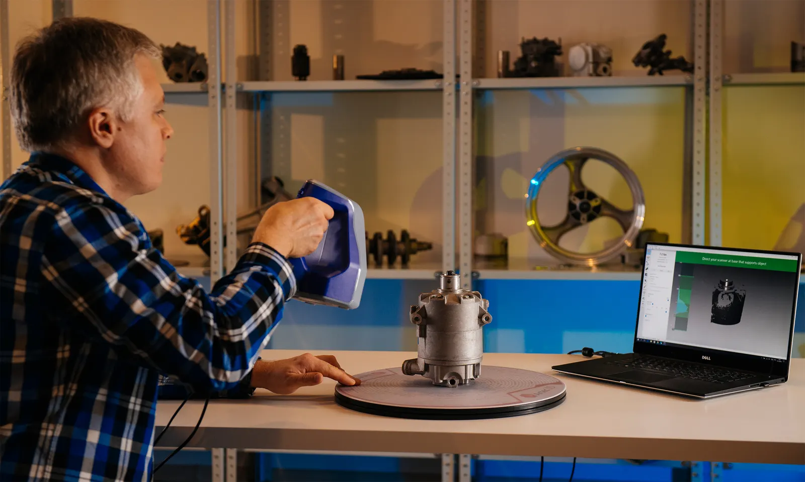
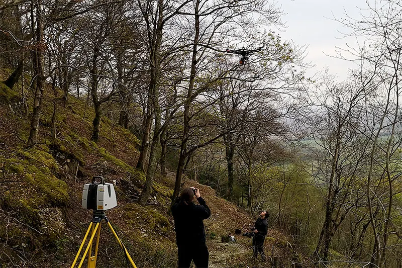
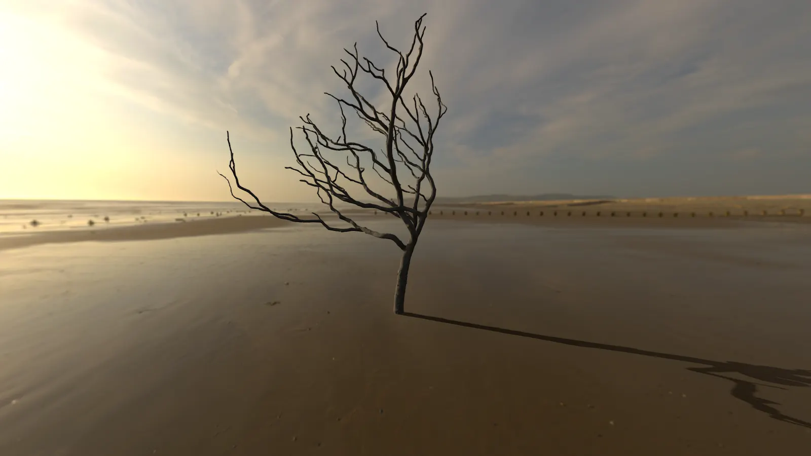
We have combined drone capture with handheld and terrestrial scanning before. On the Ceredigion oak tree, an Artec Leo captured the trunk, a terrestrial laser scanner the middle and drone photogrammetry the canopy, registered into a single model.
How a job runs
- 01
Plan the flight
Area, height, overlap, access, airspace and permissions, settled before the visit.
- 02
Fly
LiDAR for geometry, photography for colour, or both.
- 03
Add the ground
Handheld or tripod scans where the drone cannot see.
- 04
Register and deliver
One georeferenced cloud or mesh in the format you need.
What you get back
In the formats your team already uses. Ask if you need something else.
Aerial point cloud
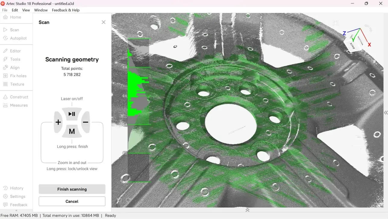
Georeferenced LAS/LAZ or E57.
Combined model
Aerial and ground data registered into one cloud or mesh.
Surfaces and volumes
Terrain, roof surfaces and volumes on request.
The kit we use
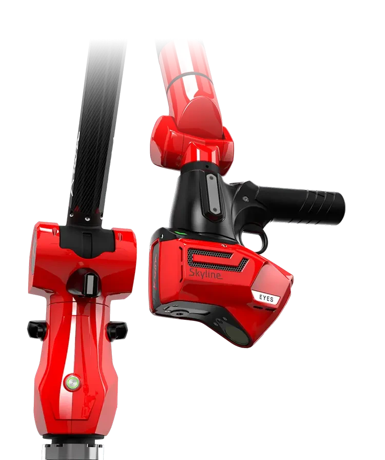
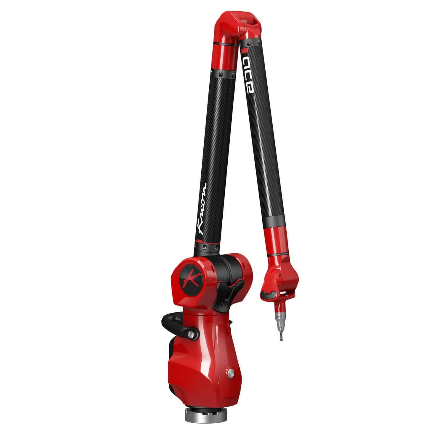
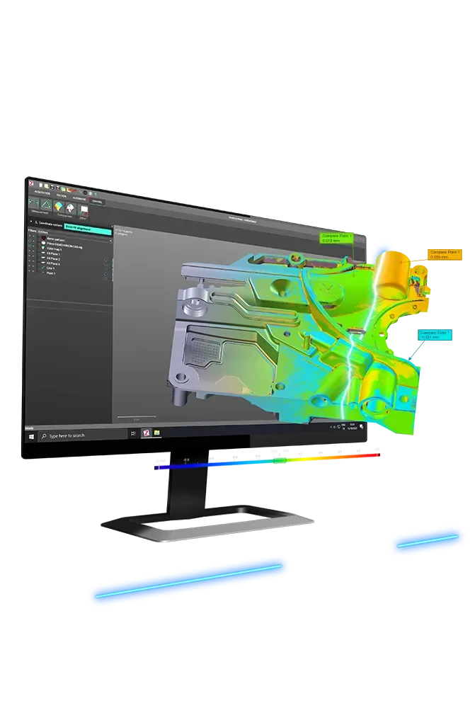
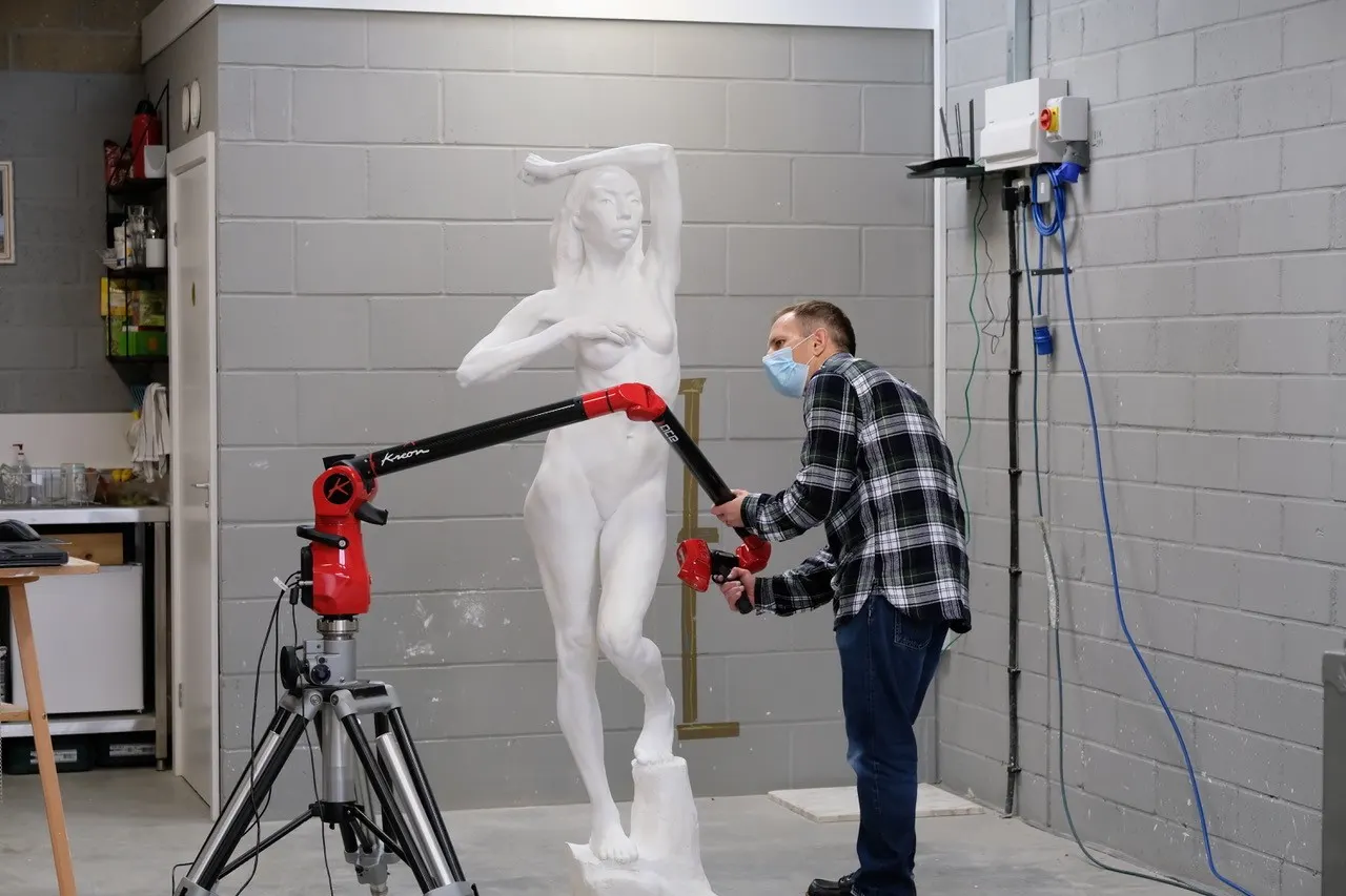
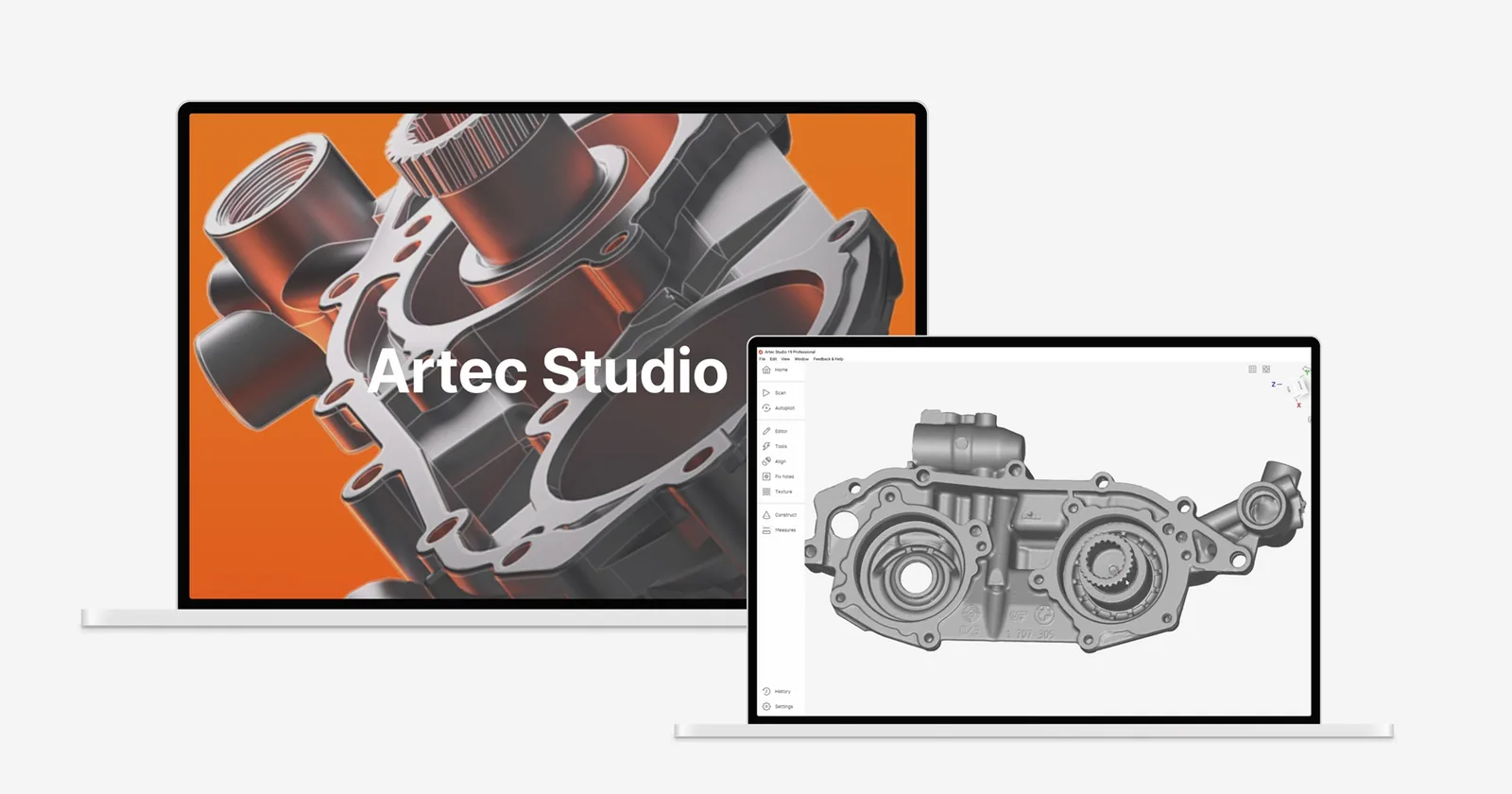
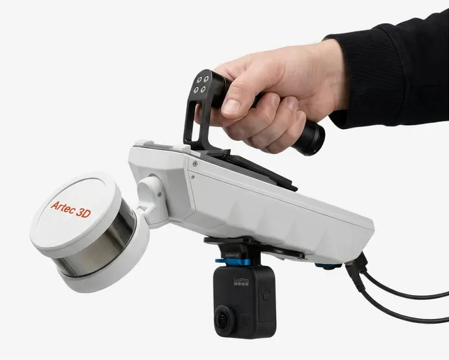
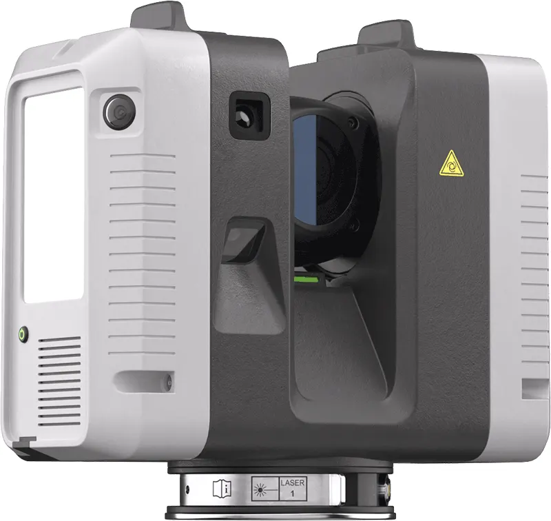
The same scanners, arms and software we sell, train on and support. Like what you see? You can buy or hire it too.
Work we have done
FAQ
If yours is not here, ring 0330 229 0175 and ask for the scanning team.
Not answered here?
Ask the engineers who run the machines. We answer the same working day.
Why LiDAR rather than photogrammetry?
LiDAR measures geometry directly and sees through gaps in vegetation to the ground; photogrammetry gives better colour. Many jobs use both.
Can you scan the whole thing, ground and air?
Yes. That is where we are most useful: aerial, terrestrial and handheld data registered into one model.
Tell us what needs scanning
A photo, a rough size and what you need out of it. We will come back with a fixed price and a date, and if scanning is not the right answer, we will say so.
Whitchurch SY13 4AL