.svg)
Laser scanning and reality capture
Topographic survey by laser scanning
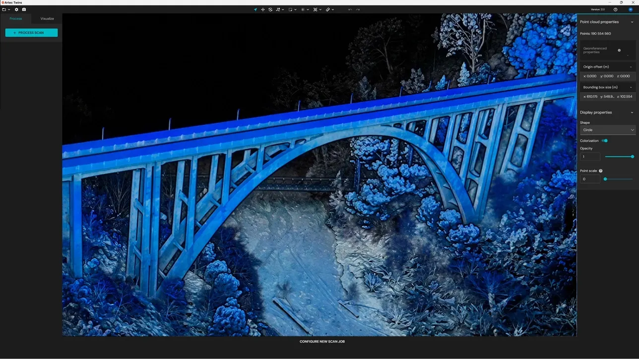
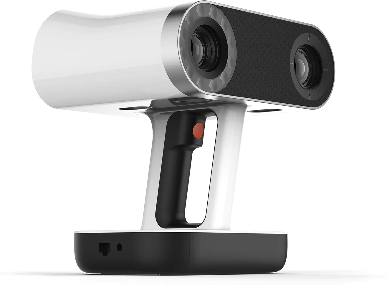
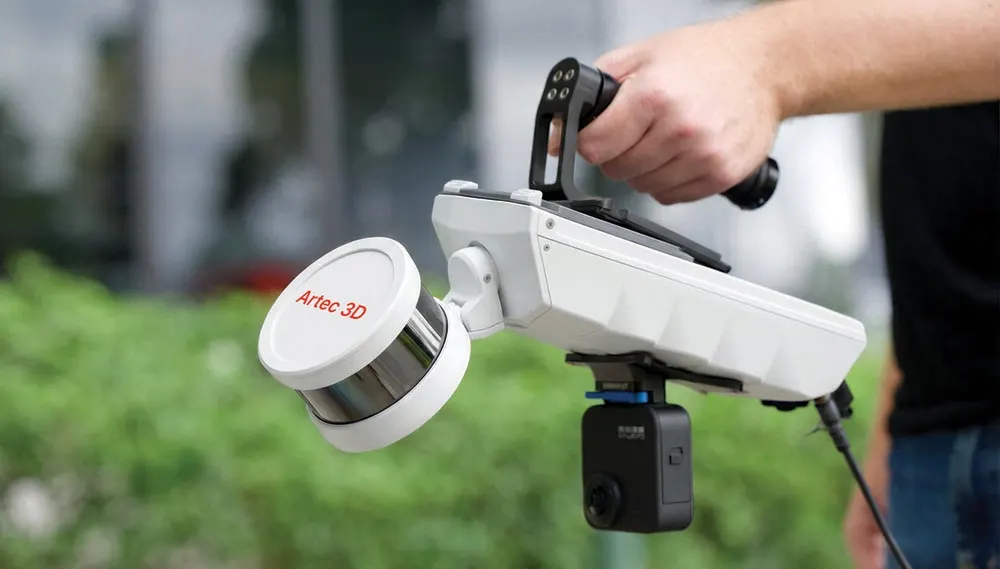
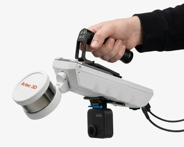
Ground levels, features and terrain captured as a dense point cloud rather than a scatter of spot heights. On foot, by vehicle or from a drone with the Artec Jet, georeferenced to site control or RTK.
- Artec Jet range
- Up to 300 m
- Georeferenced capture
- RTK
- One scanner, three platforms
- Foot · vehicle · drone
Every level, not every tenth one
A traditional topographic survey picks points. LiDAR captures the whole ground surface with everything on it, so levels, banks, kerbs and features come out of one dataset. A level nobody thought to take is still in there later.
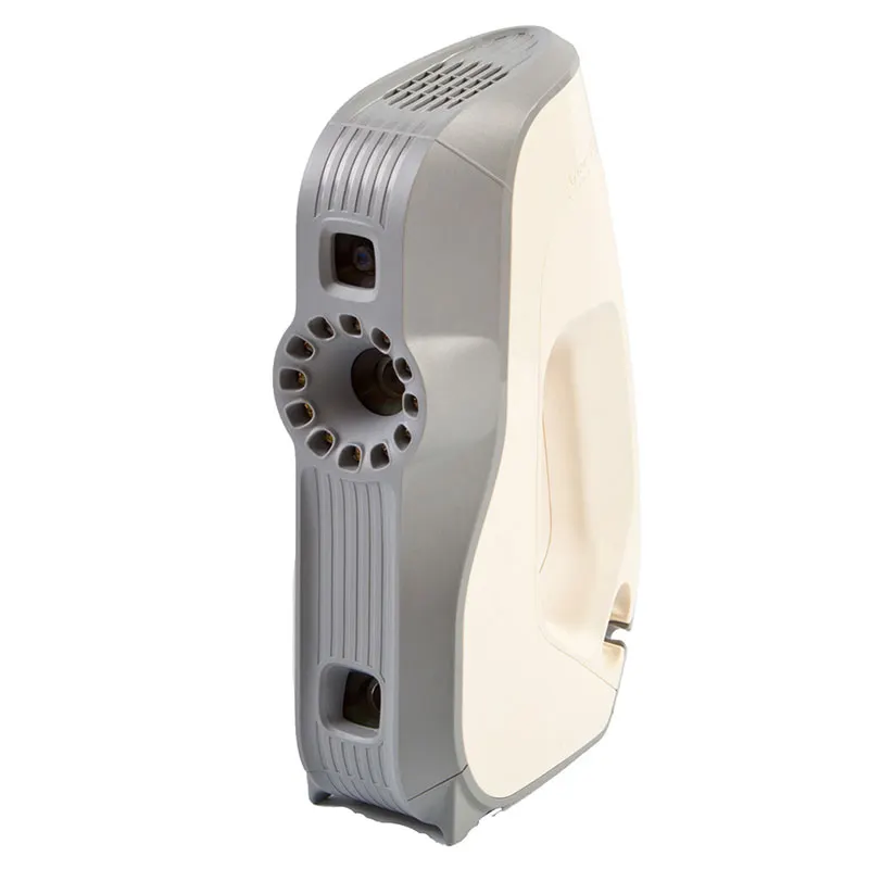
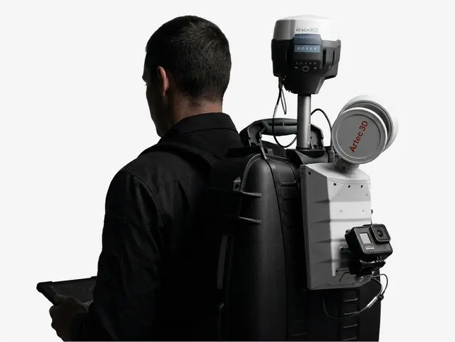
The Artec Jet maps on foot, mounted on a vehicle or carried by a drone. It georeferences with RTK, so large or awkward sites are captured quickly and land in real-world coordinates.
How a job runs
- 01
Control
Site control or RTK, in the coordinate system your project uses.
- 02
Capture
Walk, drive or fly the site, choosing the platform for size and access.
- 03
Process
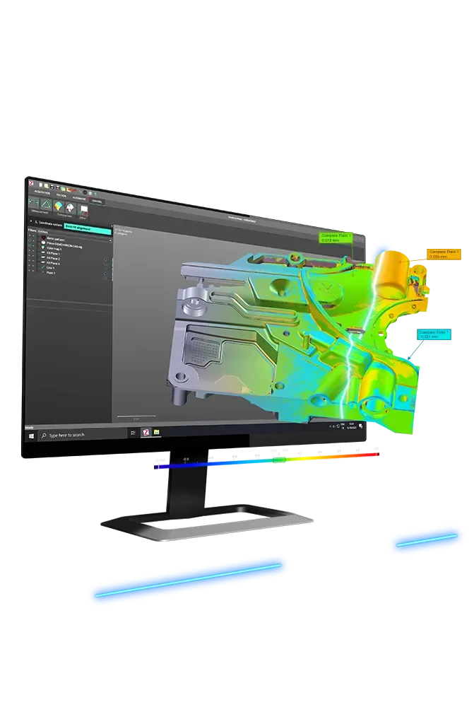
Cloud registered, cleaned and classified where ground needs separating from features.
- 04
Deliver
Cloud, terrain model and the drawings you ask for.
What you get back
In the formats your team already uses. Ask if you need something else.
Point cloud
LAS/LAZ or E57, georeferenced.
Terrain model
Ground surface for design and volumes.
Contours and sections
In CAD, at the interval you specify.
The kit we use
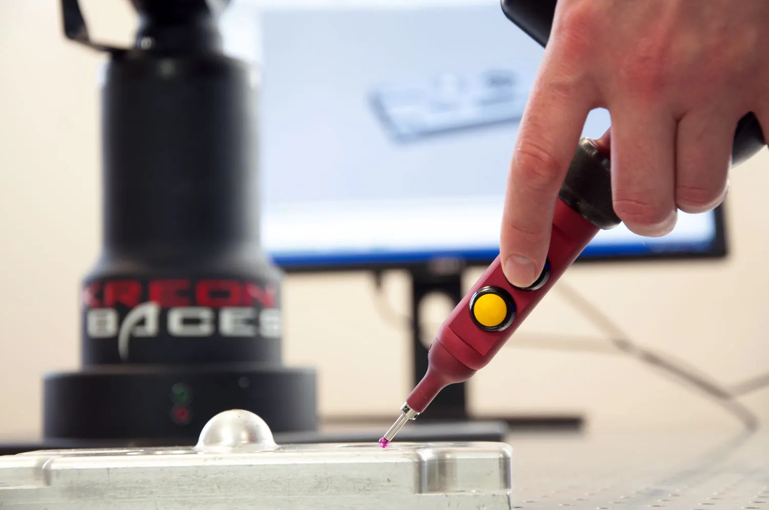
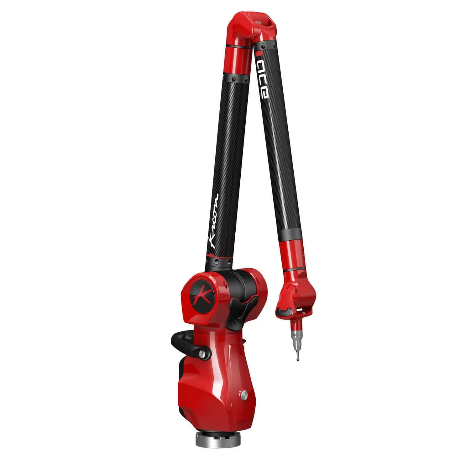
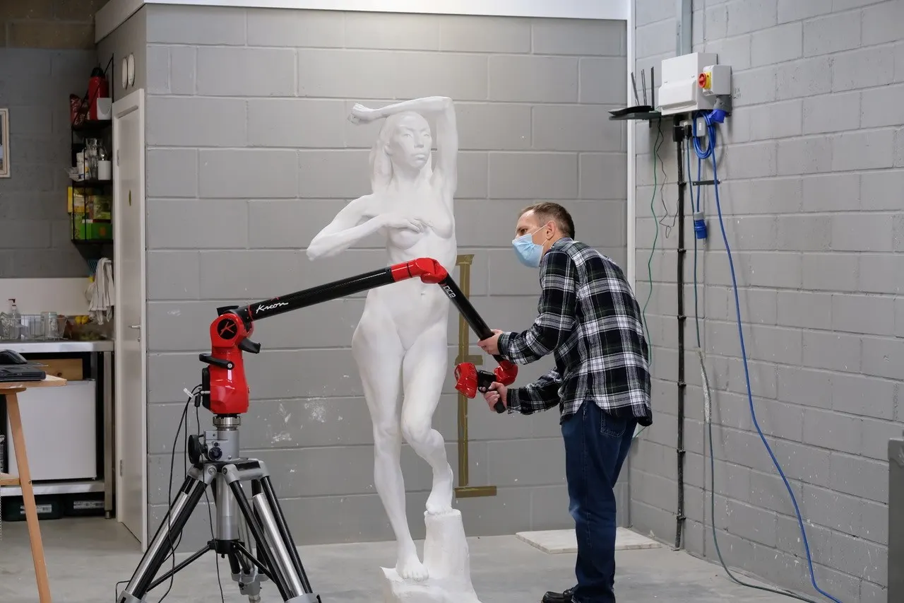
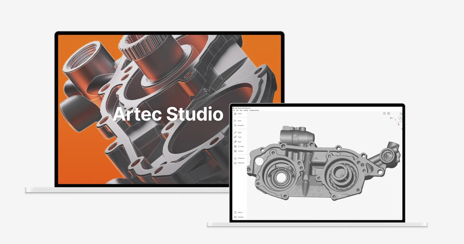
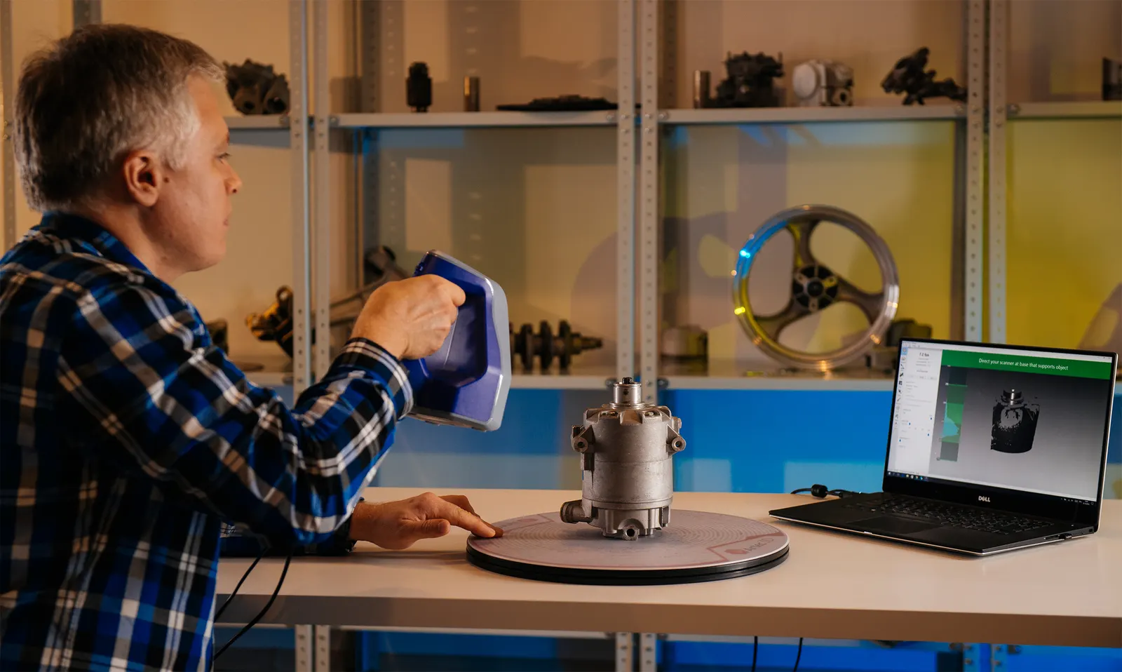
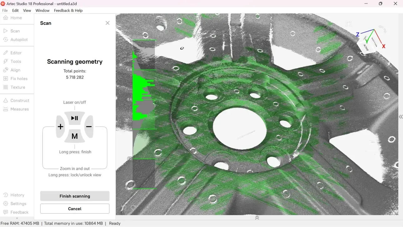
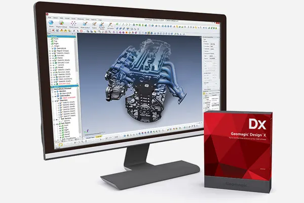
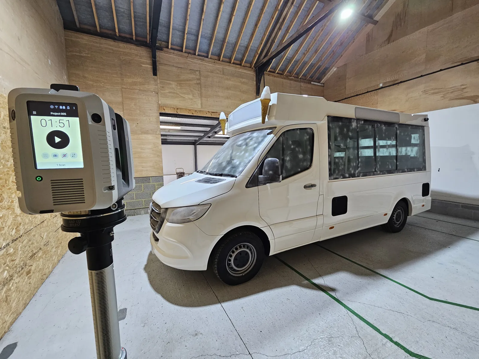
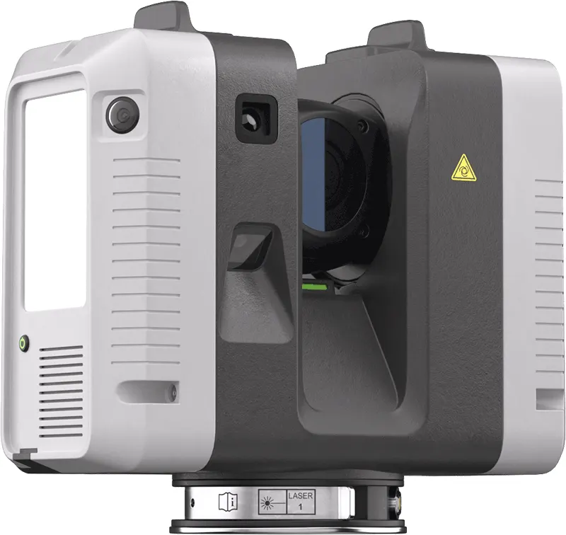
The same scanners, arms and software we sell, train on and support. Like what you see? You can buy or hire it too.
FAQ
If yours is not here, ring 0330 229 0175 and ask for the scanning team.
Not answered here?
Ask the engineers who run the machines. We answer the same working day.
Can you replace our traditional topo survey?
For most sites, LiDAR gives you more for the same visit. Where a project needs a measured survey to a particular specification, tell us. We will say what LiDAR can and cannot sign off.
What coordinate system will it be in?
Yours. We tie into site control or use RTK in the system your project works in.
Tell us what needs scanning
A photo, a rough size and what you need out of it. We will come back with a fixed price and a date, and if scanning is not the right answer, we will say so.
Whitchurch SY13 4AL