.svg)
Laser scanning and reality capture
Open pit mine and quarry mapping
Faces, benches, haul roads and stockpiles captured without anyone near the edge. LiDAR from the ground, a vehicle or a drone, georeferenced, for planning, volumes and face stability.
- Vehicle, foot or drone
- Ground or air
- RTK and site control
- Georeferenced
- No one near the face
- Safe
The whole pit, safely
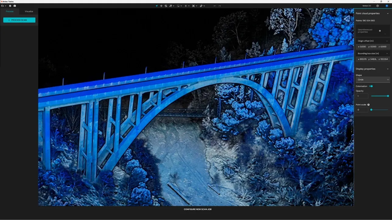
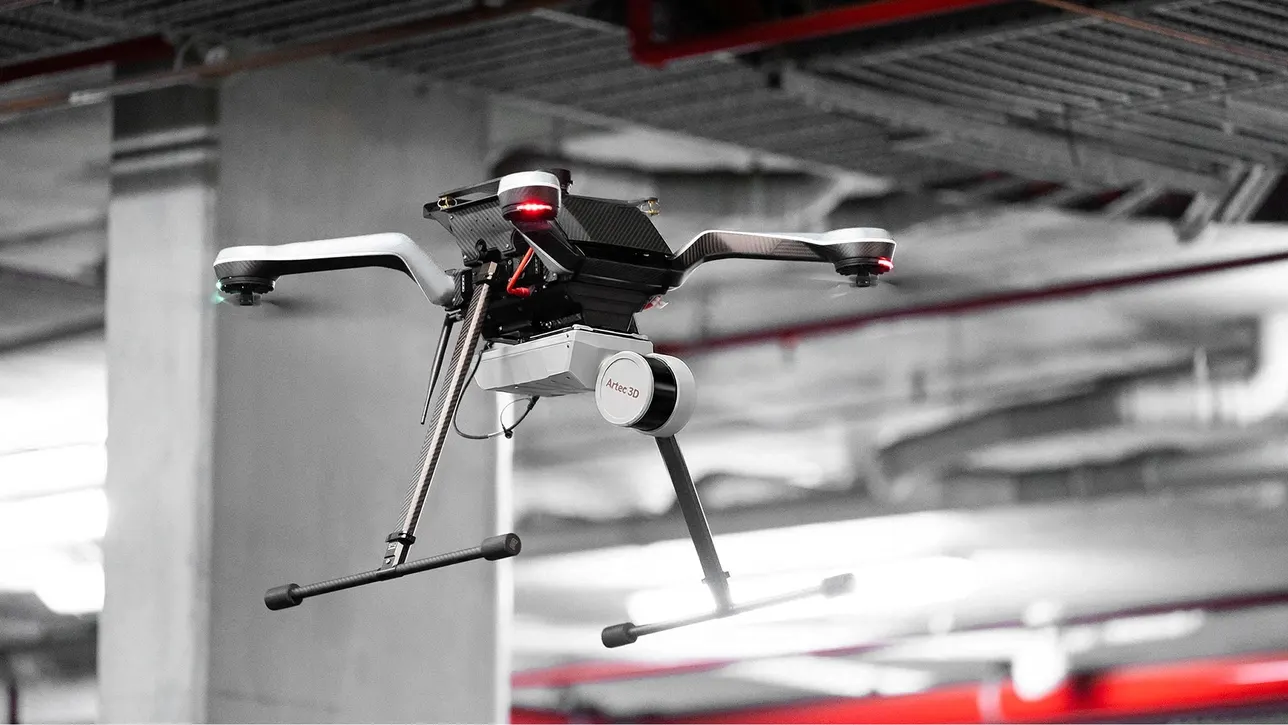
Quarry faces are high, unstable and dangerous to approach. LiDAR captures them from a safe distance or from the air, giving faces, benches, ramps and the pit floor in one georeferenced dataset.
From that come face profiles for blast design, bench and berm checks, extraction volumes against the last survey plus stockpile volumes across the site.
How a job runs
- 01
Control
Site control or RTK, in your mine grid.
- 02
Capture
Drone over the pit, vehicle along the benches, ground stations at the faces.
- 03
Process
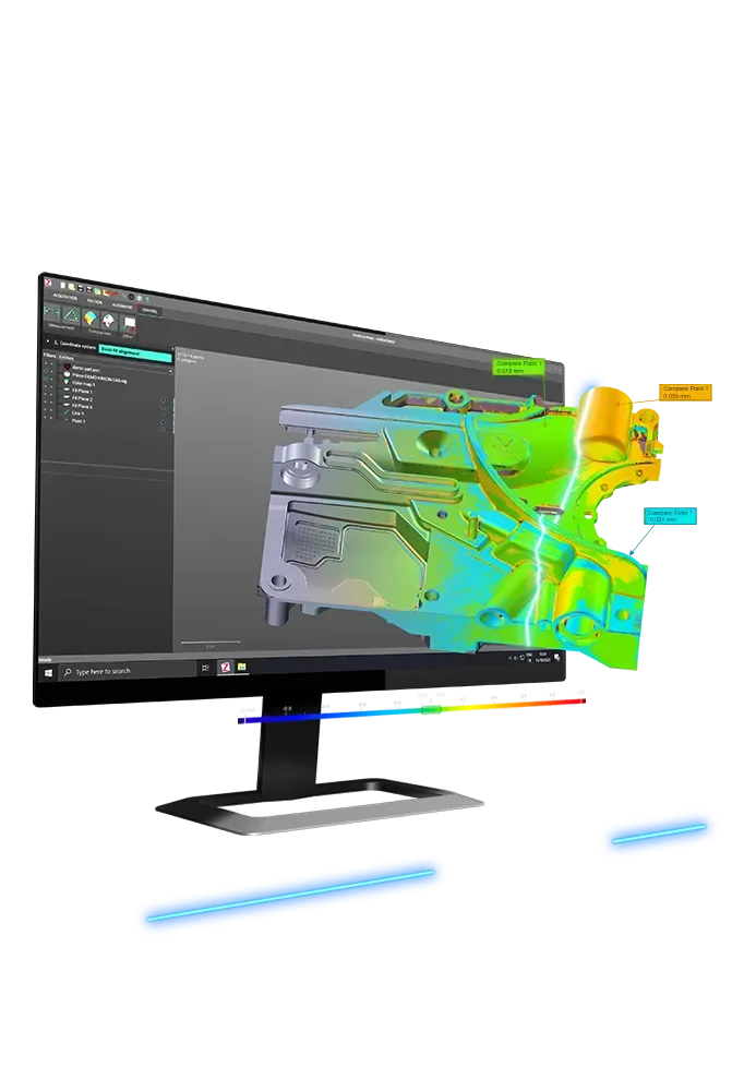
Registered, classified and compared with the last survey.
- 04
Report
Surfaces, profiles, volumes for planning and compliance.
What you get back
In the formats your team already uses. Ask if you need something else.
Georeferenced point cloud
LAS/LAZ in your mine grid.
Surfaces and profiles
Pit surface, face profiles and sections.
Volumes
Extraction and stockpile volumes against previous surveys.
The kit we use
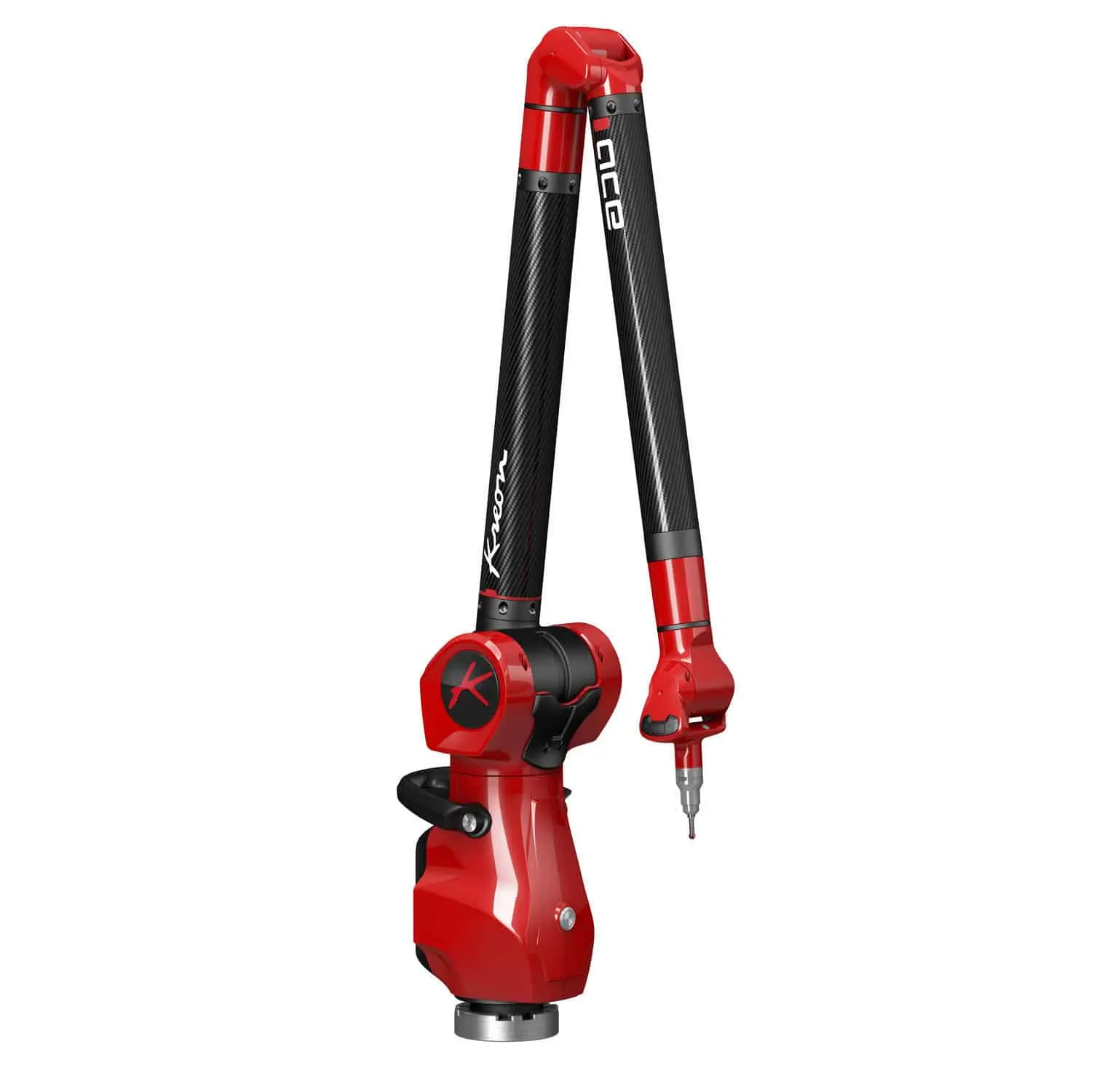
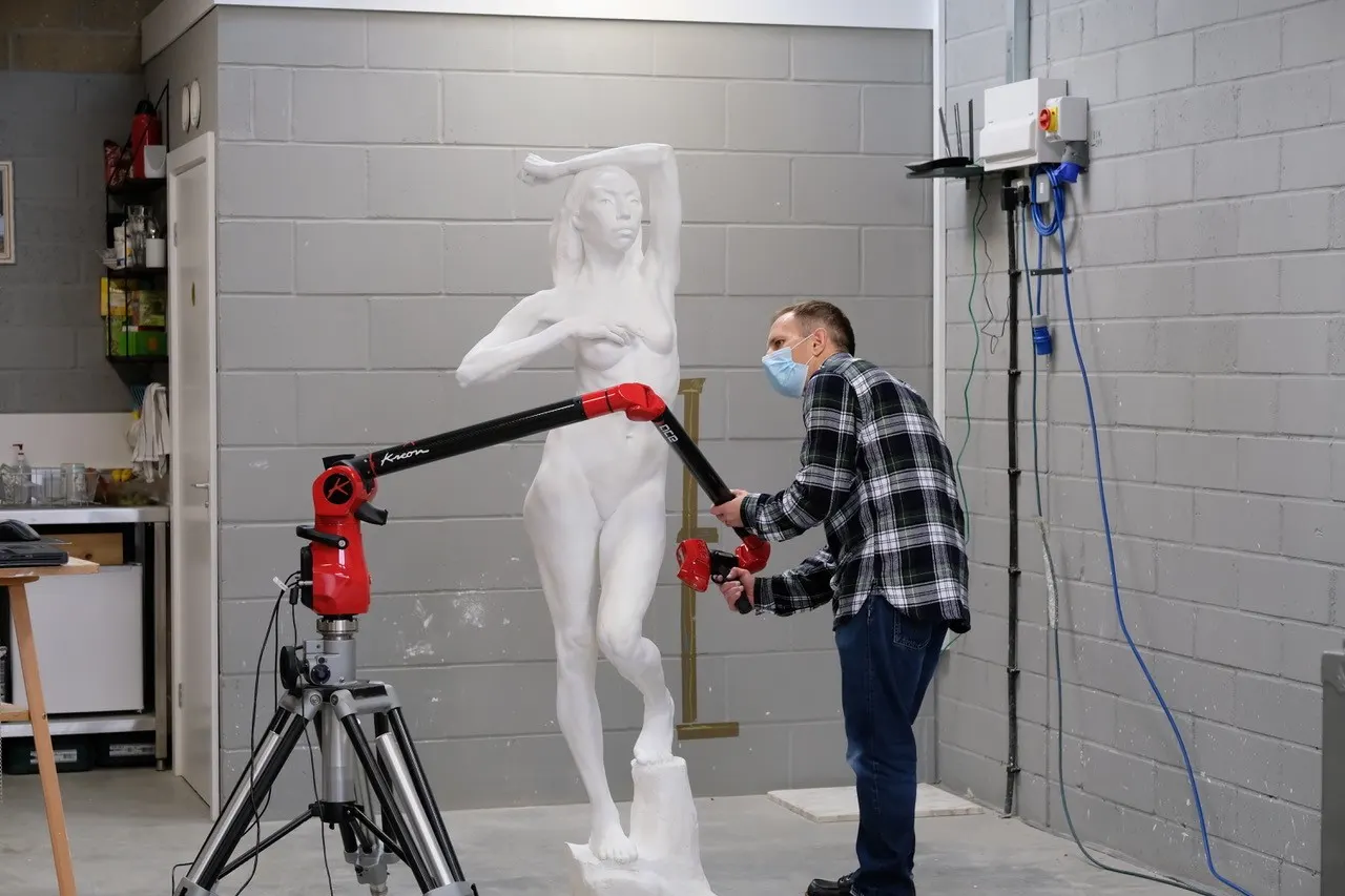
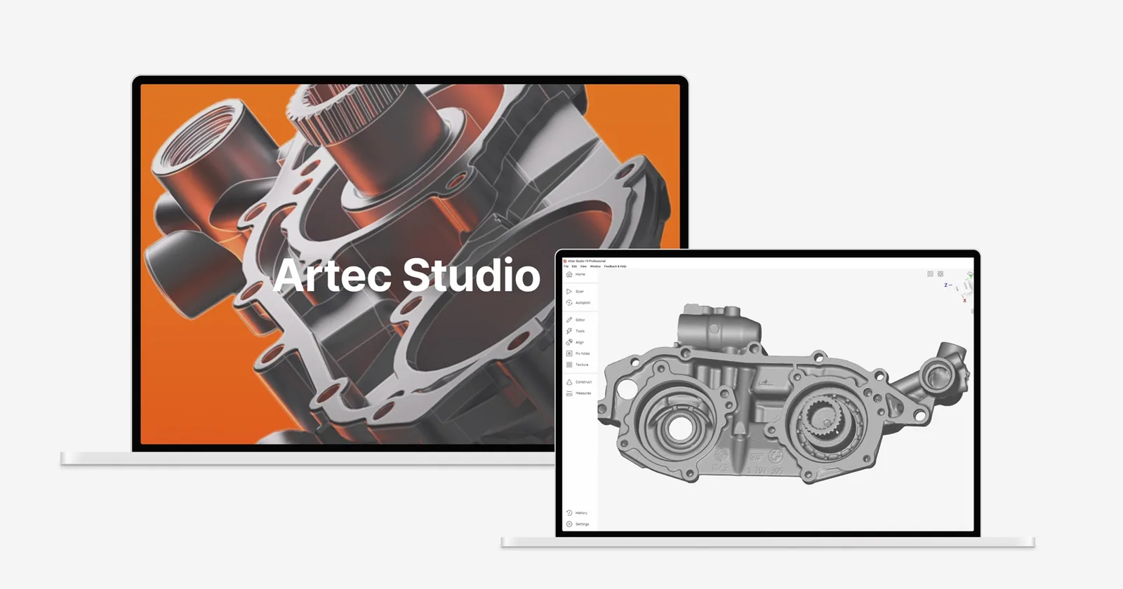
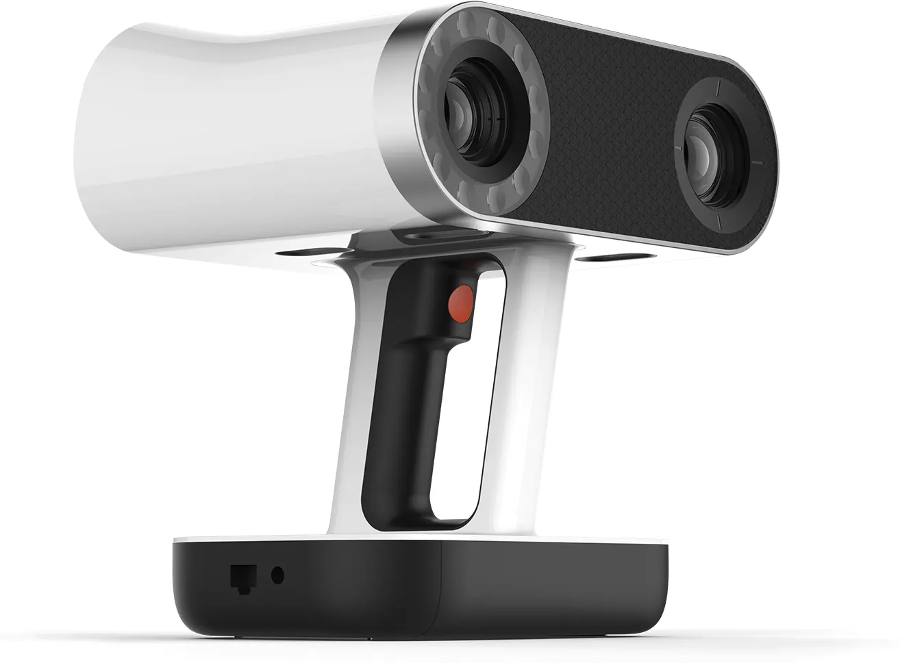
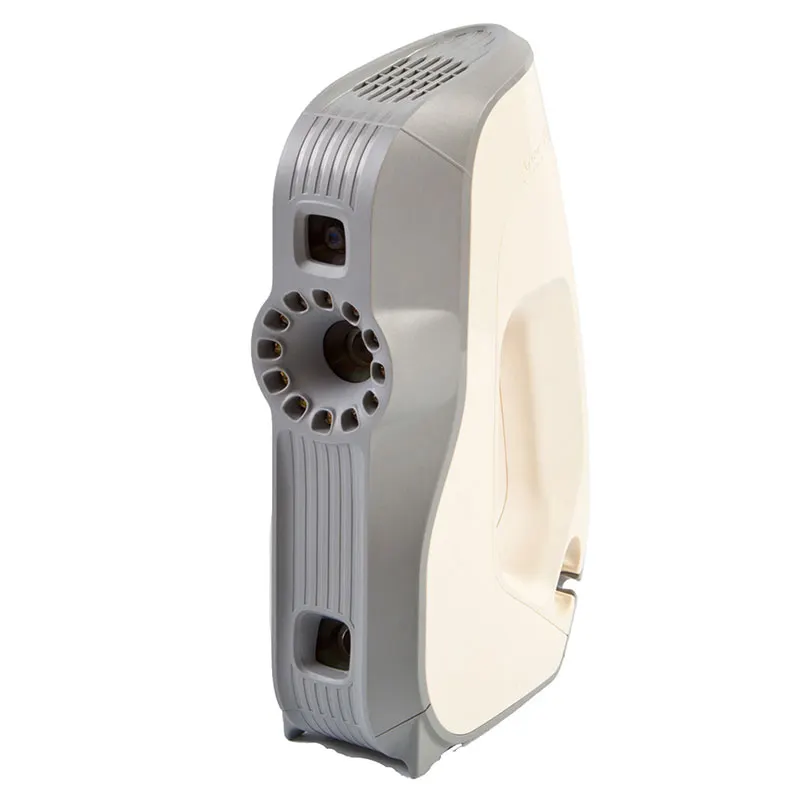
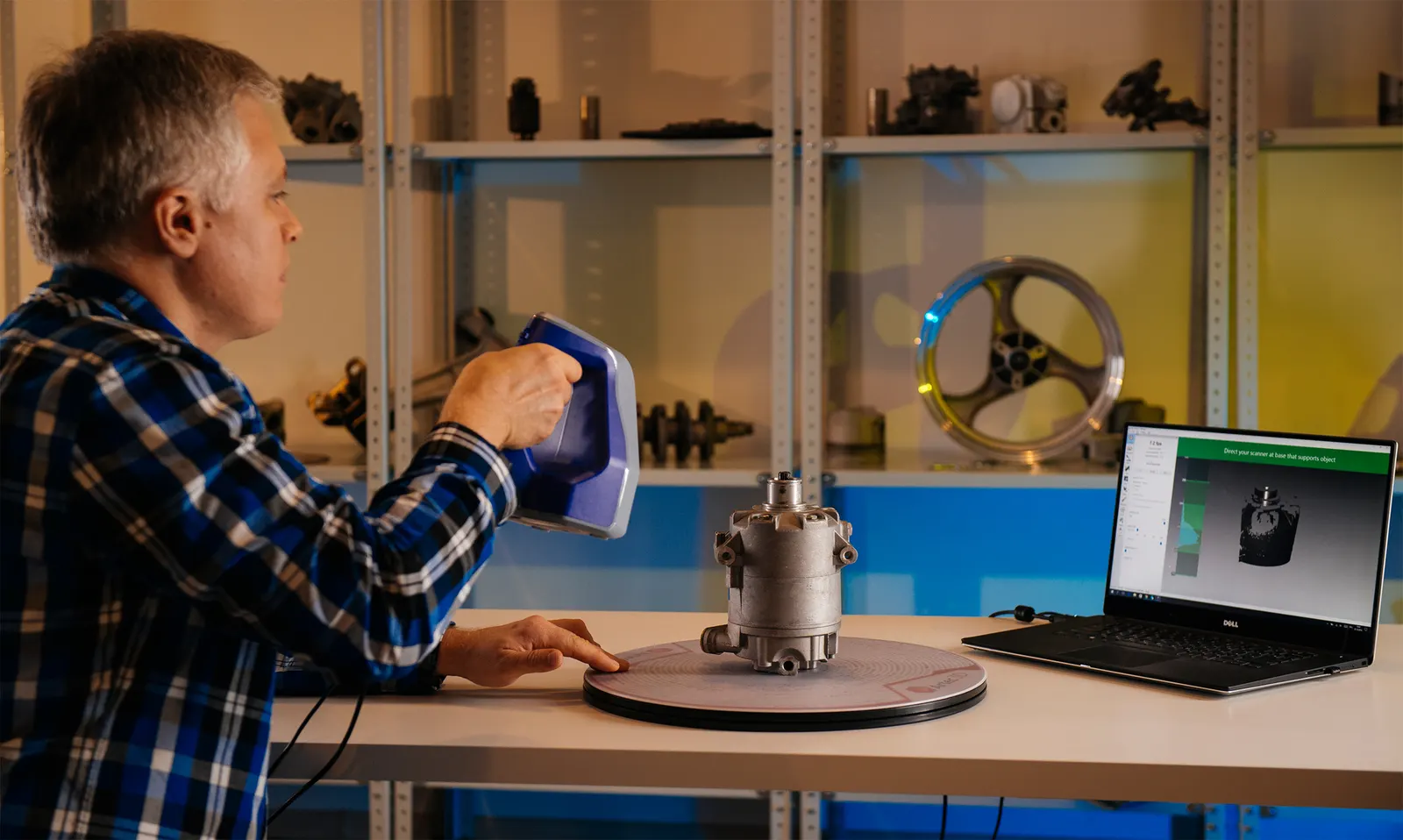
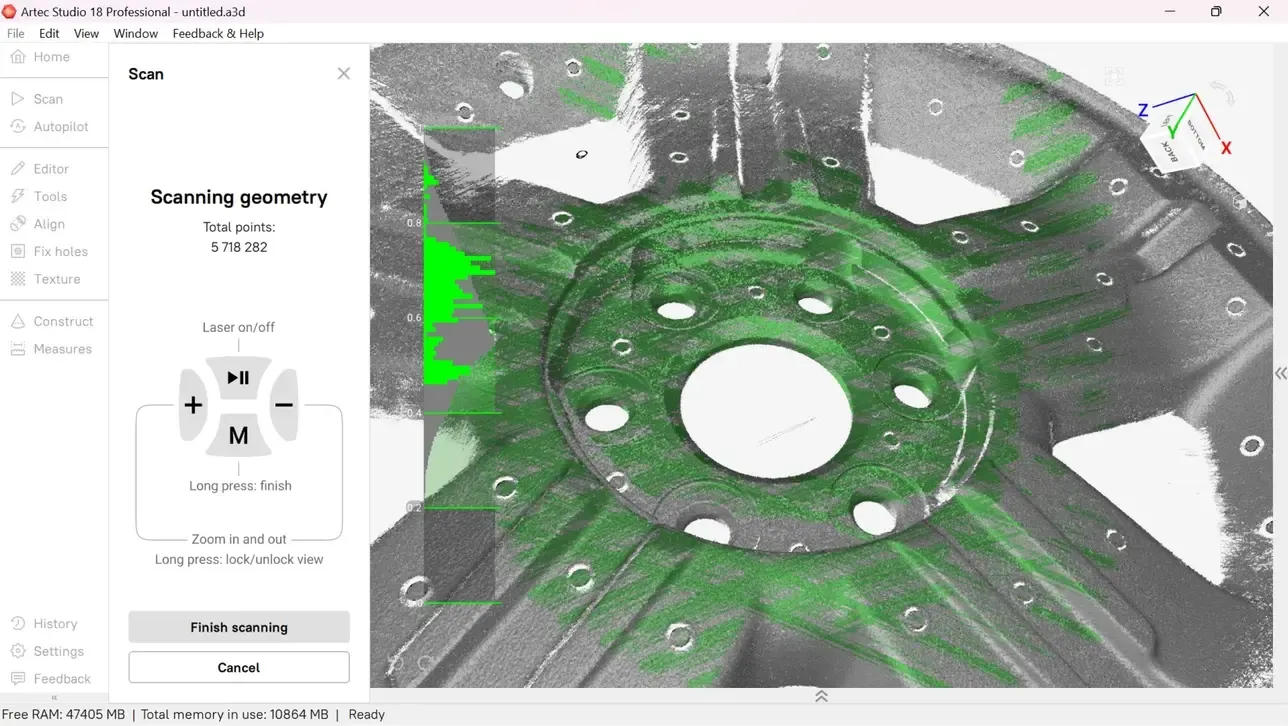
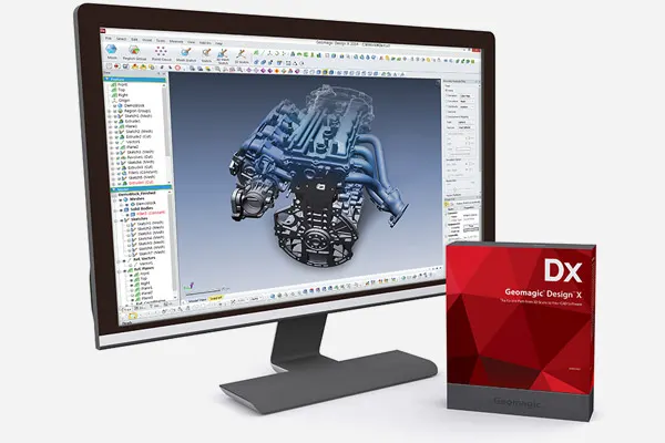
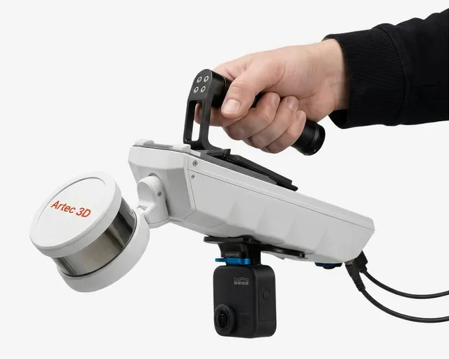
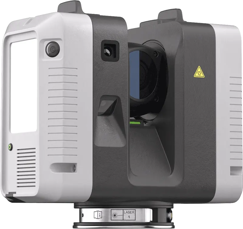
The same scanners, arms and software we sell, train on and support. Like what you see? You can buy or hire it too.
FAQ
If yours is not here, ring 0330 229 0175 and ask for the scanning team.
Not answered here?
Ask the engineers who run the machines. We answer the same working day.
Do you fly the drone?
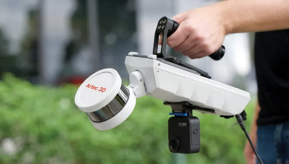
The Artec Jet flies as a drone LiDAR payload. Flights are planned around the site’s access, airspace and permissions before anyone arrives.
Can you compare against last quarter?
Yes. If the previous survey has known coordinates we compare against it; otherwise our first visit becomes the baseline.
Tell us what needs scanning
A photo, a rough size and what you need out of it. We will come back with a fixed price and a date, and if scanning is not the right answer, we will say so.
Whitchurch SY13 4AL