.svg)
IndustriesMining & quarrying
3D scanning for mining and quarrying
Stockpile volumes, underground capture plus convergence monitoring, safely and without stopping production. SLAM LiDAR that maps where GPS cannot reach and goes where people should not. Sold and supported in the UK by an Artec Gold Certified partner.
- Quarry operators
- Underground mines
- Aggregates and minerals
- Recycling and waste yards
- Mine surveyors and geotechnical engineers
- Heritage mines and caves
- No GPS
- SLAM maps as it moves
- ±10 mm
- Jet accuracy underground
- IP65
- Jet dust and water protection
What mines and quarries scan
Above ground and below it
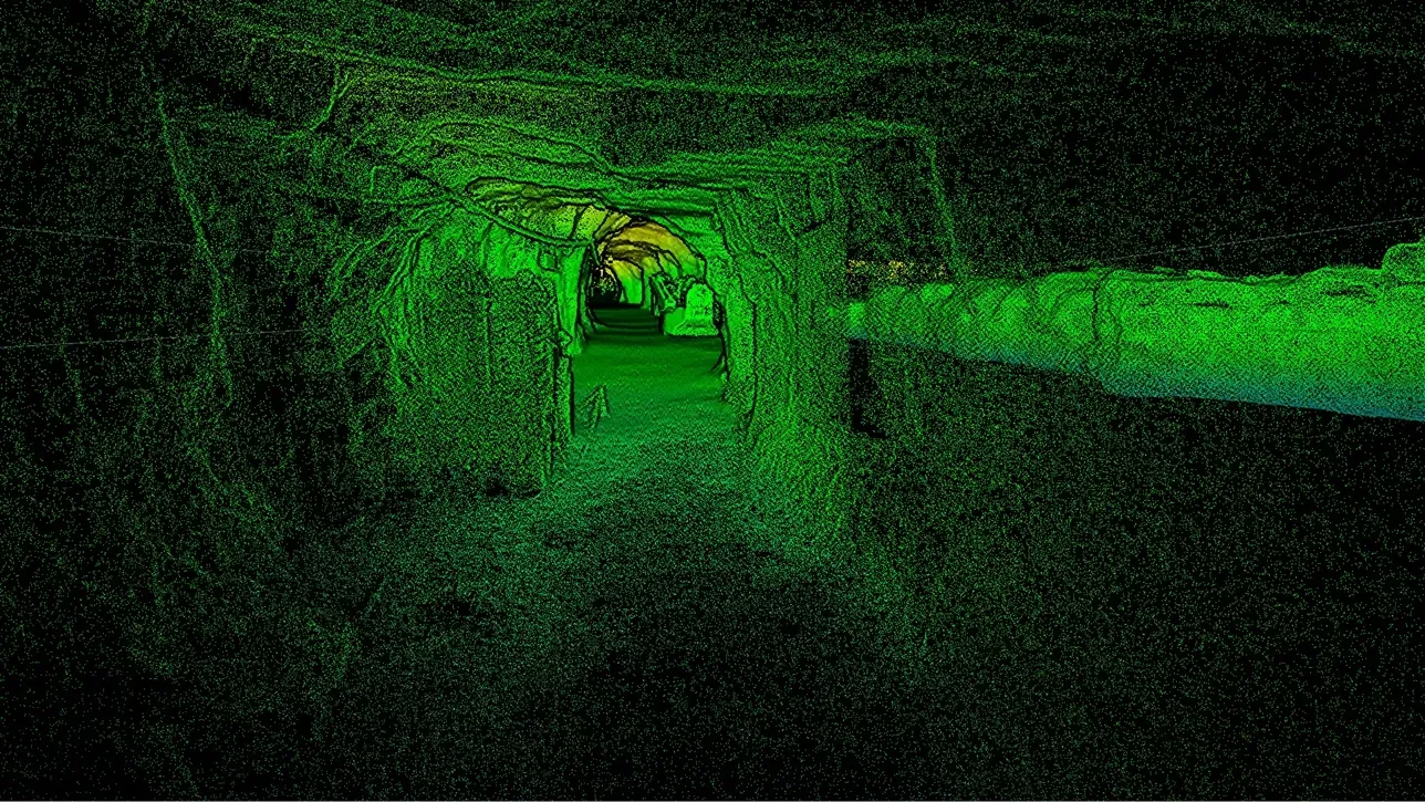
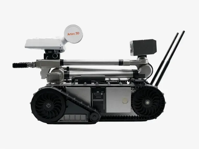 Drives, stopes and shaftsMapped on foot, by vehicle or on a robot sent ahead into areas that are unsafe for people.Read more
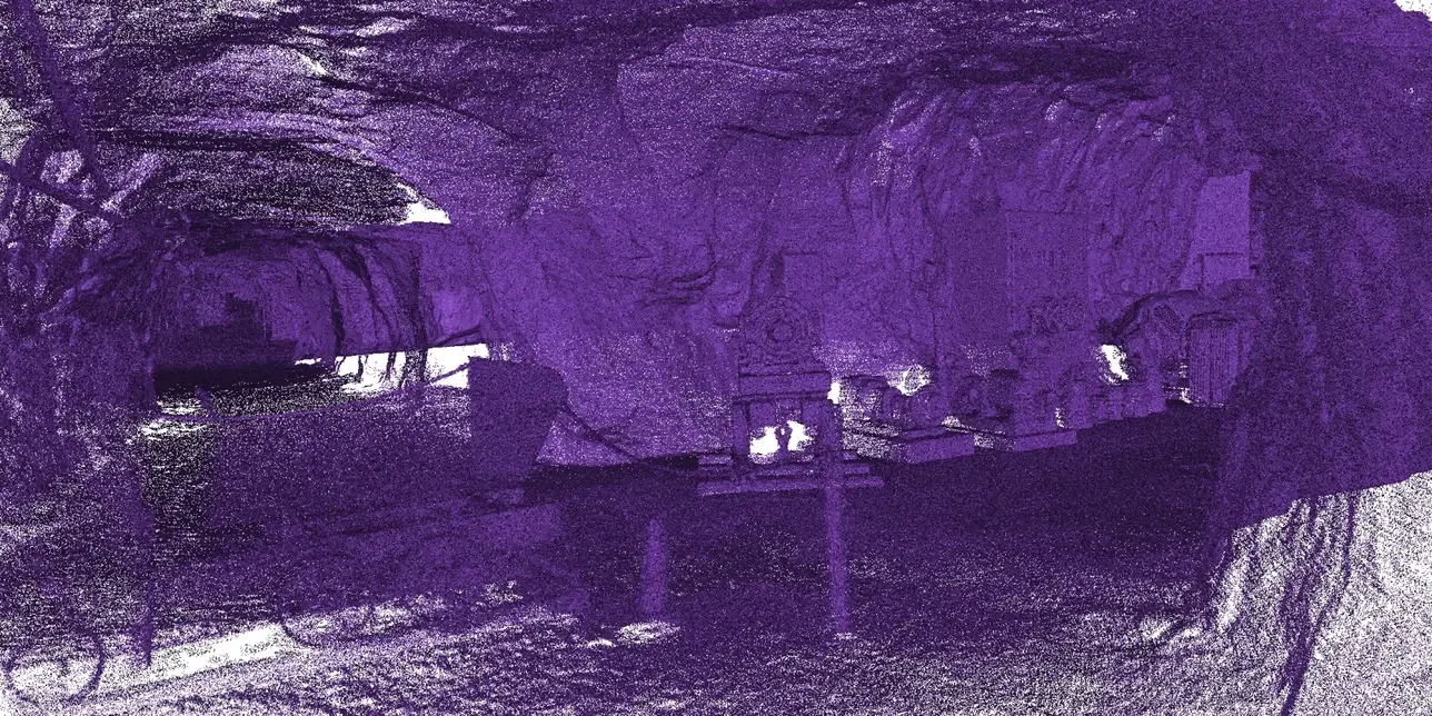 Convergence monitoringArtec describe scanning tunnels and drives repeatedly to detect rock displacement early, before small shifts become safety concerns.Read more
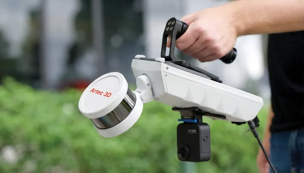
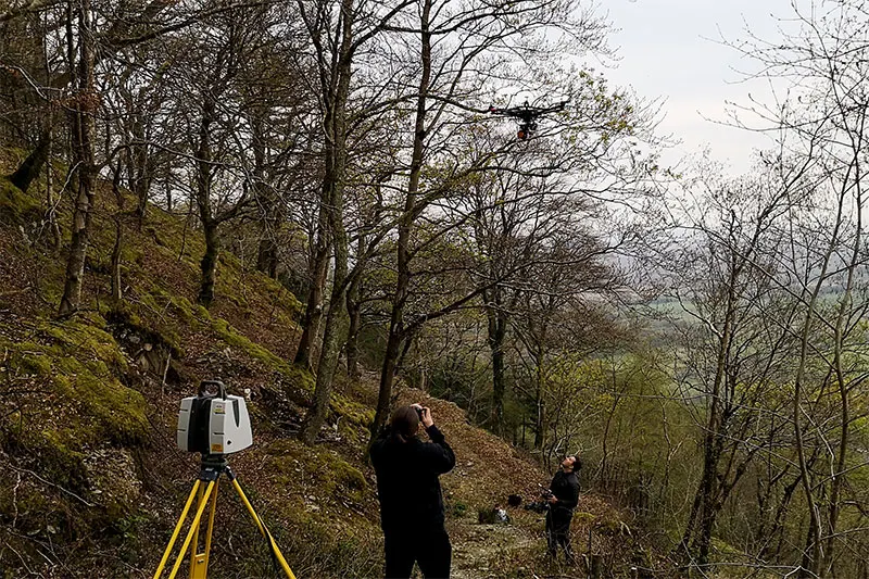
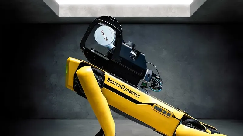 Autonomous captureOn a drone or a Boston Dynamics Spot, the Jet follows a route you set and brings the drone home along a mapped route if the battery runs low or dust gets too heavy.Read more
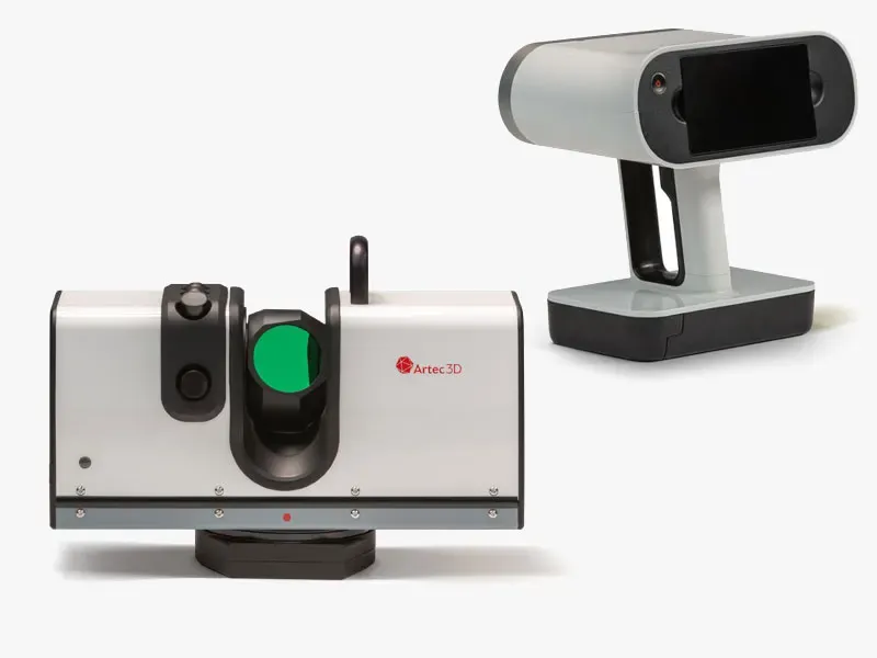 Faces, benches and plantRay II captures pit walls and faces from a distance. A handheld Leo digitises equipment for wear profiling in confined spaces.Read more
The problem with the old way
Nobody should stand at the edge to get a number
- 01
Faces are dangerous to approach
Quarry faces are high and unstable. LiDAR captures them from a safe distance or from the air.
- 02
Underground has no GPS
There is no satellite signal and often nowhere safe to stand a tripod. SLAM builds the map as it travels.
- 03
Stock figures feed the accounts
A volume estimated from a few heights will not stand up. One computed from the whole surface can be checked.
- 04
Production cannot stop
Mobile capture works round moving plant, while a drone stays clear of it altogether.
Stockpile volumes
The number and how we got it
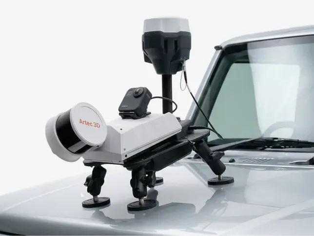
We capture every pile and the base it sits on, so the volume is computed from the whole surface rather than estimated from a handful of heights. On foot, from a vehicle or from a drone, depending on the yard and the piles.
Every report comes with the surfaces the volumes were computed from, so anyone can check the figure. Give us a bulk density for each material and we report the tonnage too. Month-end and year-end captures run on the same basis every time.
- Capture
- Foot, vehicle or drone
- Deliverable
- Volumes with their surfaces
- Tonnage
- From your bulk densities
- Export
- LAS, LAZ or E57 for Vulcan, Deswik, Micromine, Surpac and Leapfrog
Recommended products
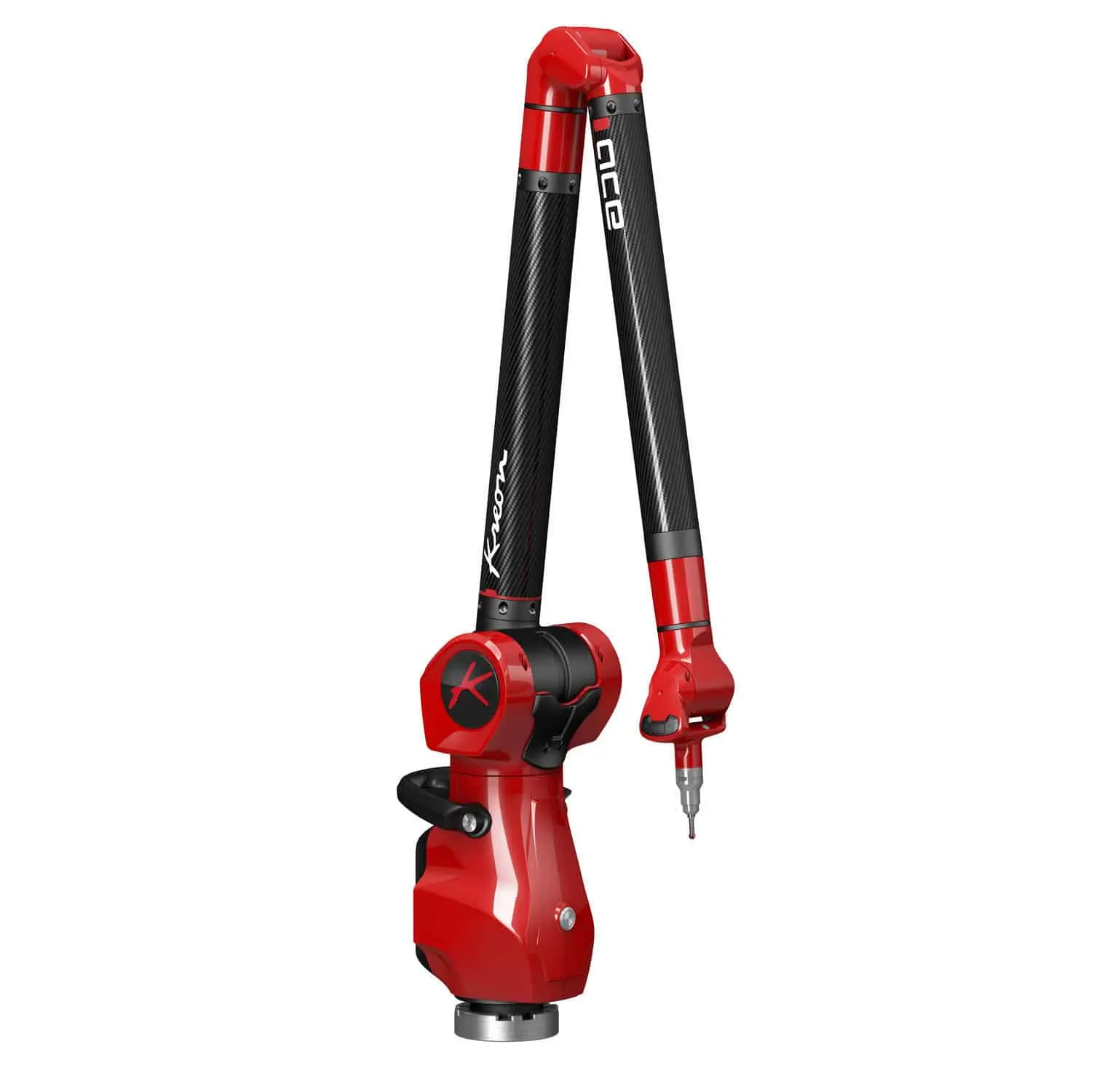
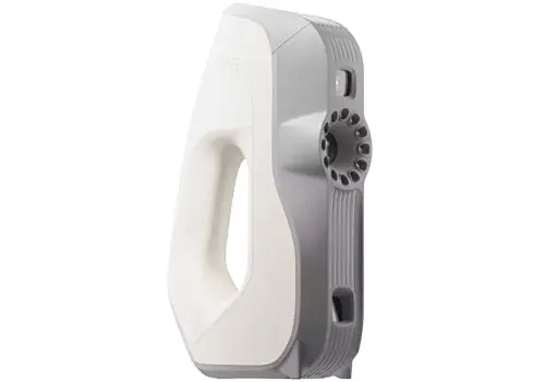
Jet for underground plus the whole site, Ray II for faces and walls from a distance, Leo for equipment.
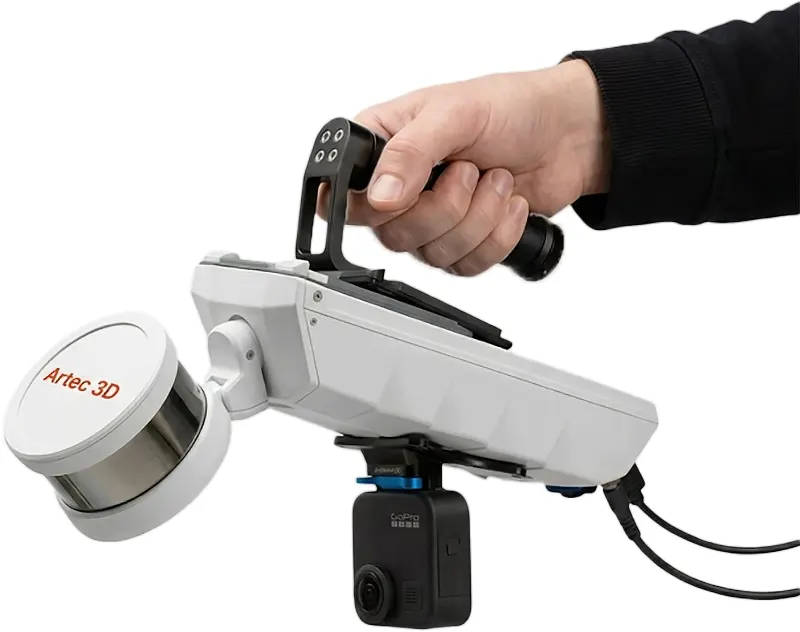
£32,340ex VAT
Find out more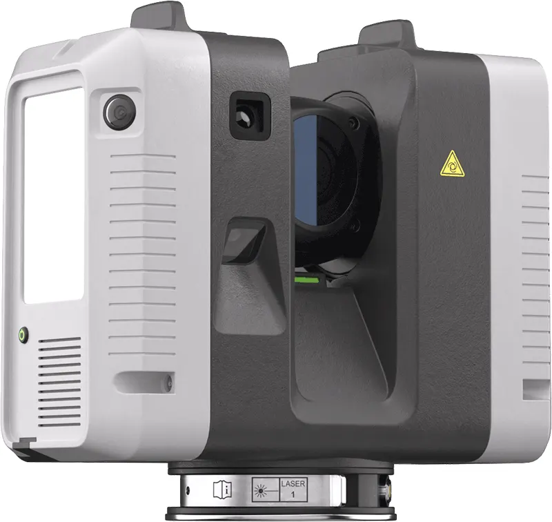
£49,938ex VAT
Find out more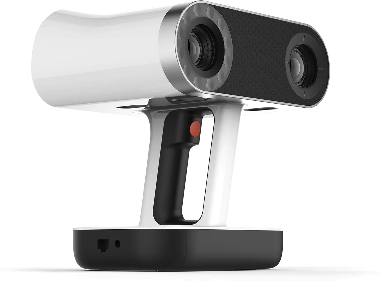
£29,232ex VAT
Find out moreQuestions we get asked
Something else? Ring 0330 229 0175 and an engineer will answer it.
Not answered here?
Ask the engineers who run the machines. We answer the same working day.
How does it work with no GPS?
SLAM tracks the scanner’s position from the geometry it sees as it moves. Closing loops and tying to known points at the surface keep the map accurate over long routes.
Can you map areas people cannot enter?
Yes. The Jet can be mounted on a robot or vehicle, or flown on a drone, so the map is made without putting anyone at risk.
Do we need to stop work in the yard?
Rarely. Mobile capture works around moving plant, while a drone stays clear of it altogether.
Can you give tonnage?
Yes, if you give us the bulk density for each material. We report the volume and the tonnage that density gives.
Will the data open in our mine planning software?
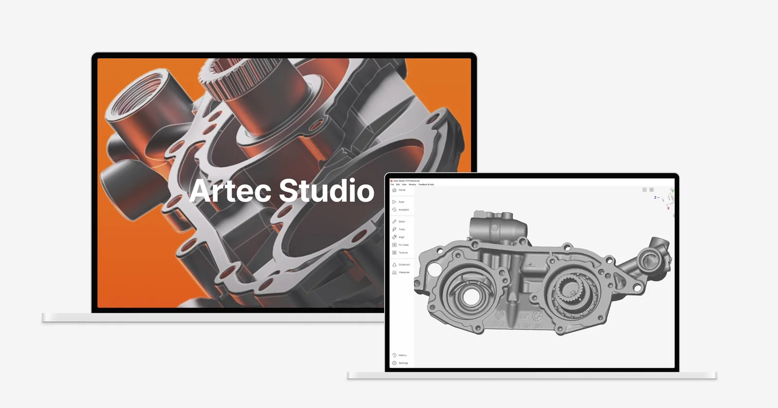
Artec list export to Maptek Vulcan, Deswik, Micromine, GEOVIA Surpac and Leapfrog in standard point cloud or mesh formats.
Can you compare against last quarter?
Yes. If the previous survey has known coordinates we compare against it; otherwise our first visit becomes the baseline.
Tell us the site, the piles or the workings
We plan the capture around your production and your permissions, then give you a figure you can check.