.svg)
IndustriesAEC & construction
3D laser scanning for architecture, engineering and construction
As-built capture, progress monitoring plus scan to BIM across design, build and retrofit. Registered point clouds from the Artec Ray II and Artec Jet, ready for your modellers, from a UK Artec Gold Certified partner that scans every day.
- Architects and design teams
- Main contractors
- MEP and building services engineers
- Refurbishment and fit-out
- Estates and facilities managers
- BIM and modelling consultancies
- 130 m
- Artec Ray II range from a tripod
- 1.9 mm
- Ray II point accuracy at 10 m
- RCP · E57
- Ready for Revit and BIM software
What it is used for
From the survey before design to the record at handover
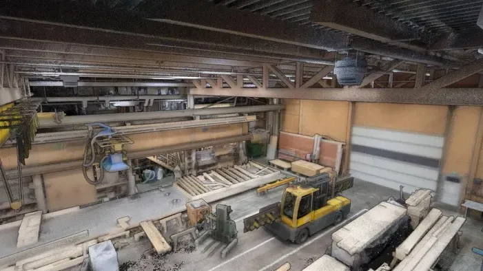
 As-built for retrofitBuildings altered for decades, captured as they are today: rerouted services, the mezzanine nobody drew, the wall that moved.Read more
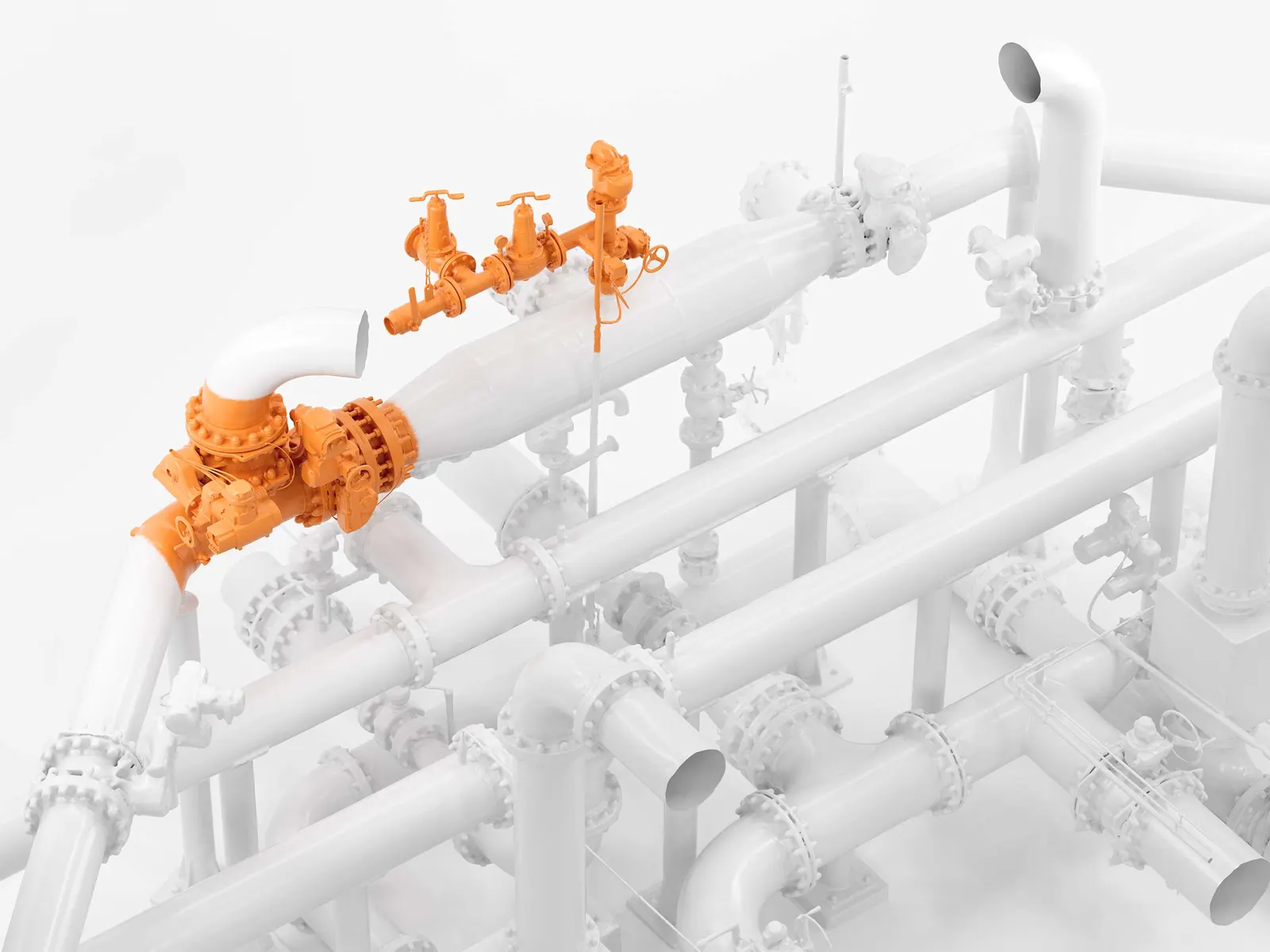
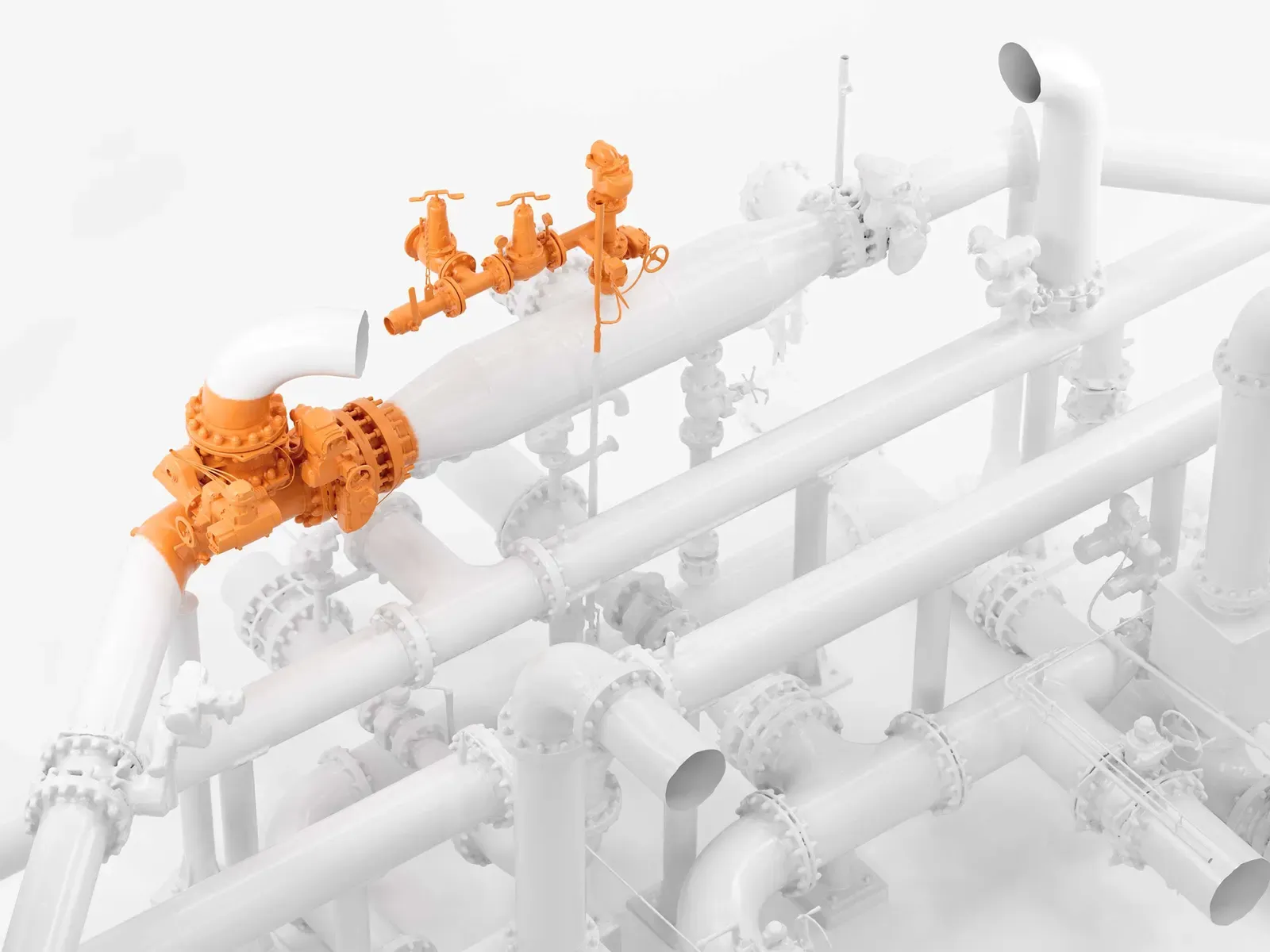 Plant rooms, risers and ceiling voidsThe building services that drawings miss, captured with everything else so new plant is clash-checked before it is ordered.Read more
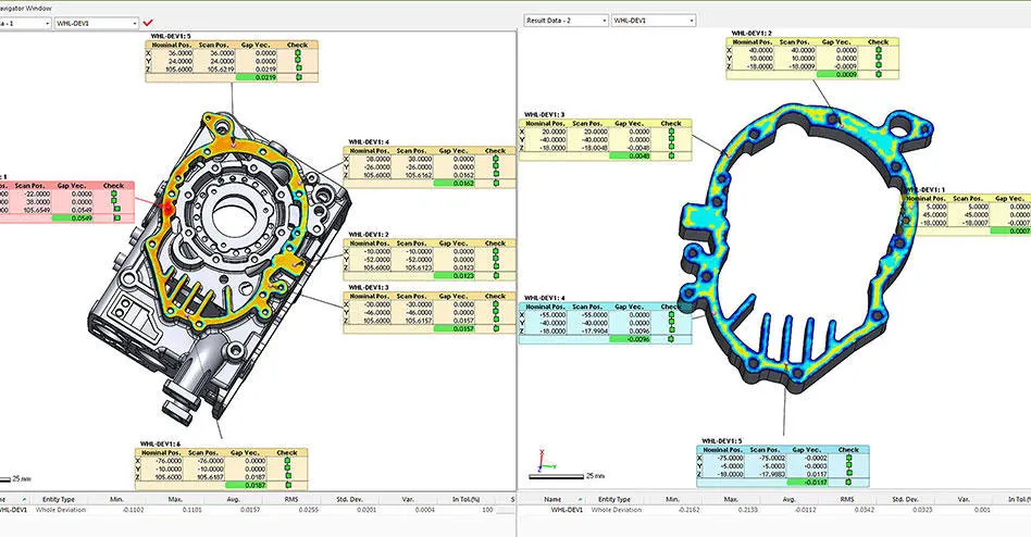
 Progress and verificationRegular scans compared against the design as well as the last visit, so steel, slab levels and service routes are checked before the next trade arrives.Read more
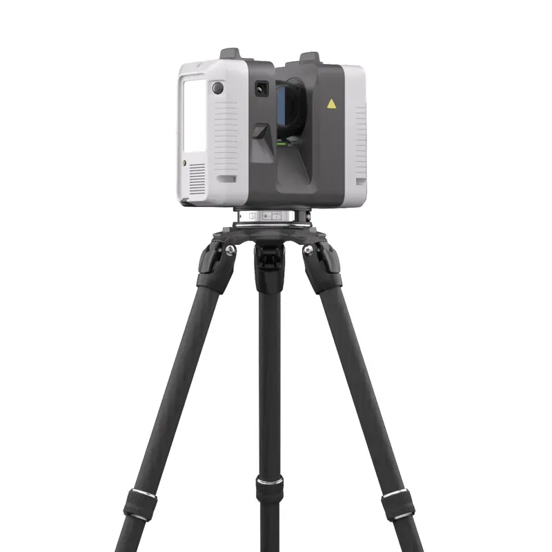 Focused, high-accuracy areasRay II stations where tolerances are tight: a façade interface, a structural connection, a lift shaft. A full dome at 10 m takes 1 min 42 s at 3 mm.Read more
Scan to BIM handover
What your modelling team receives and how it gets to them
We are a measurement business. We deliver the registered point cloud and work alongside your modellers. If you have no modelling team, we will introduce you to one rather than quietly stretch the scope.
- 1
Scope with the BIM lead
Level of detail, areas, accuracy and the coordinate system the project uses, agreed before anyone arrives on site.
- 2
Tie in to control
Site control or RTK, so the cloud lands in project coordinates and lines up with the design model.
- 3
Capture
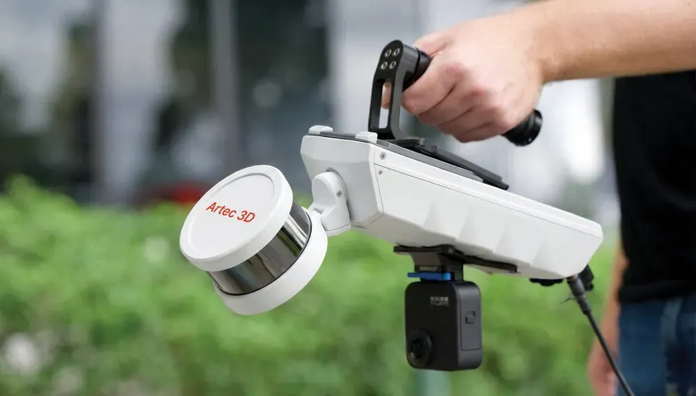
Ray II stations for the structure plus the critical detail, Jet mobile SLAM through corridors, risers and the rest of the building, Leo for the tight spots.
- 4
Register and check
Stations and sessions joined into one cloud, then checked for coverage before we sign the job off.
- 5
Zone and hand over
RCP for Autodesk, E57 for everything else, split by level, zone or system so Revit stays quick.
- 6
Clash-check and revisit
Compare new design against the as-built before steel is cut. Later, rescan changed areas into the same cloud.
Why the drawings are not enough
The building has changed. The record has not.
- 01
Decades of undocumented change
Services rerouted, walls moved, plant swapped. Every retrofit meets the same gap between drawing and building.
- 02
Rework found late
Artec say checking as-built against design intent catches discrepancies early, while they are still cheap to fix.
- 03
Survey time on a live site
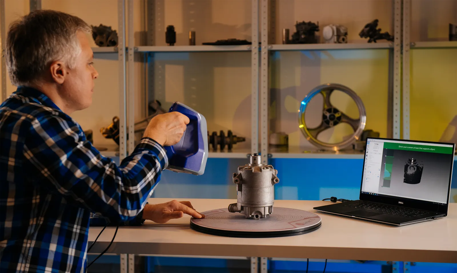
Artec state days of traditional survey work become a few hours on site with Jet, Ray II and Leo.
- 04
Occupied buildings
Access is planned around occupancy. Mobile scanning keeps the time in each space short.
Recommended products
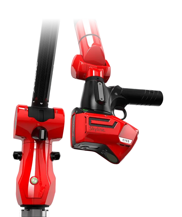
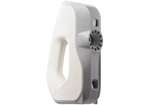
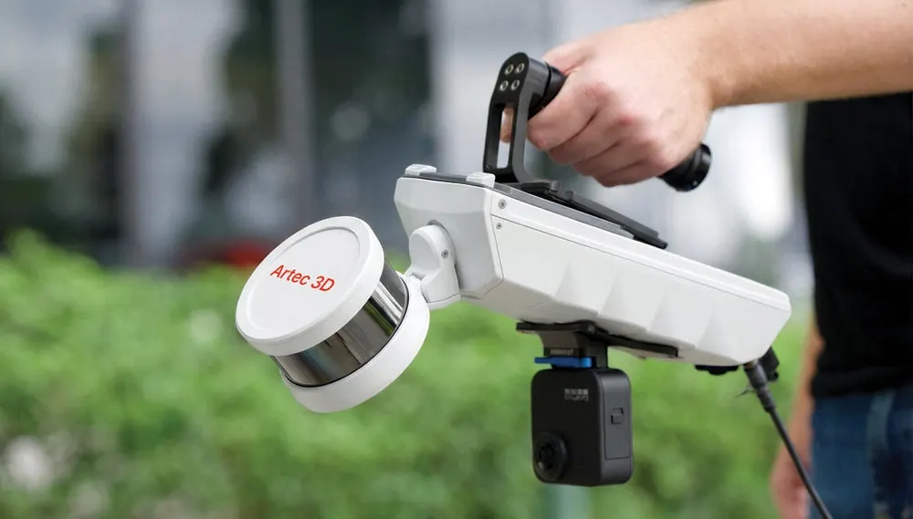
Ray II from a tripod for accuracy over distance, Jet at walking pace for coverage, Leo for detail. Buy, hire or have us capture it.
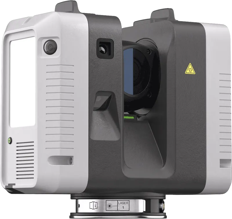
£49,938ex VAT
Find out more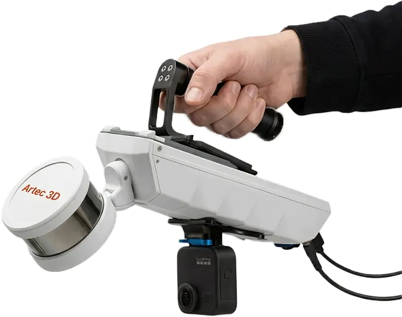
£32,340ex VAT
Find out more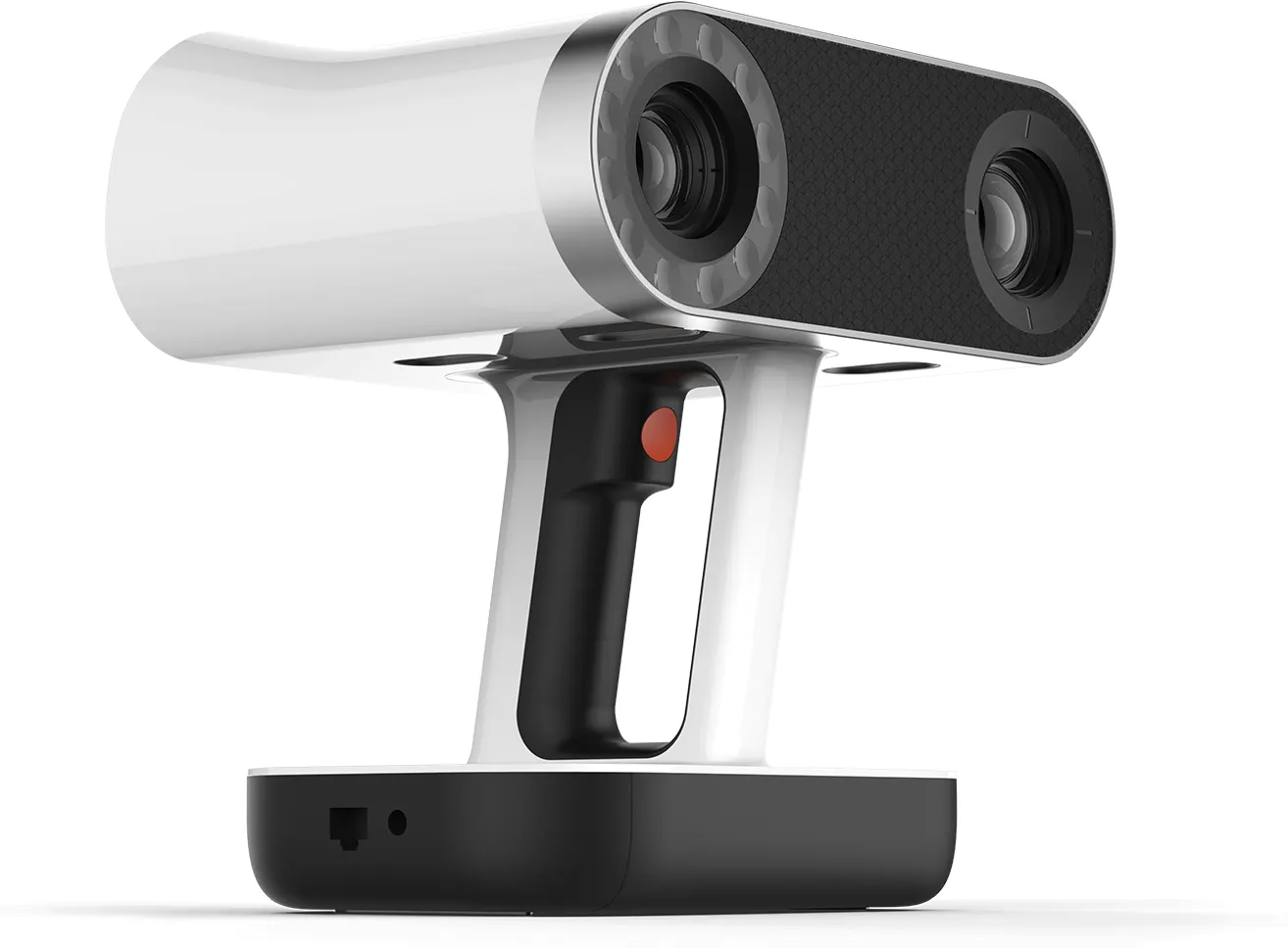
£29,232ex VAT
Find out moreSoftware
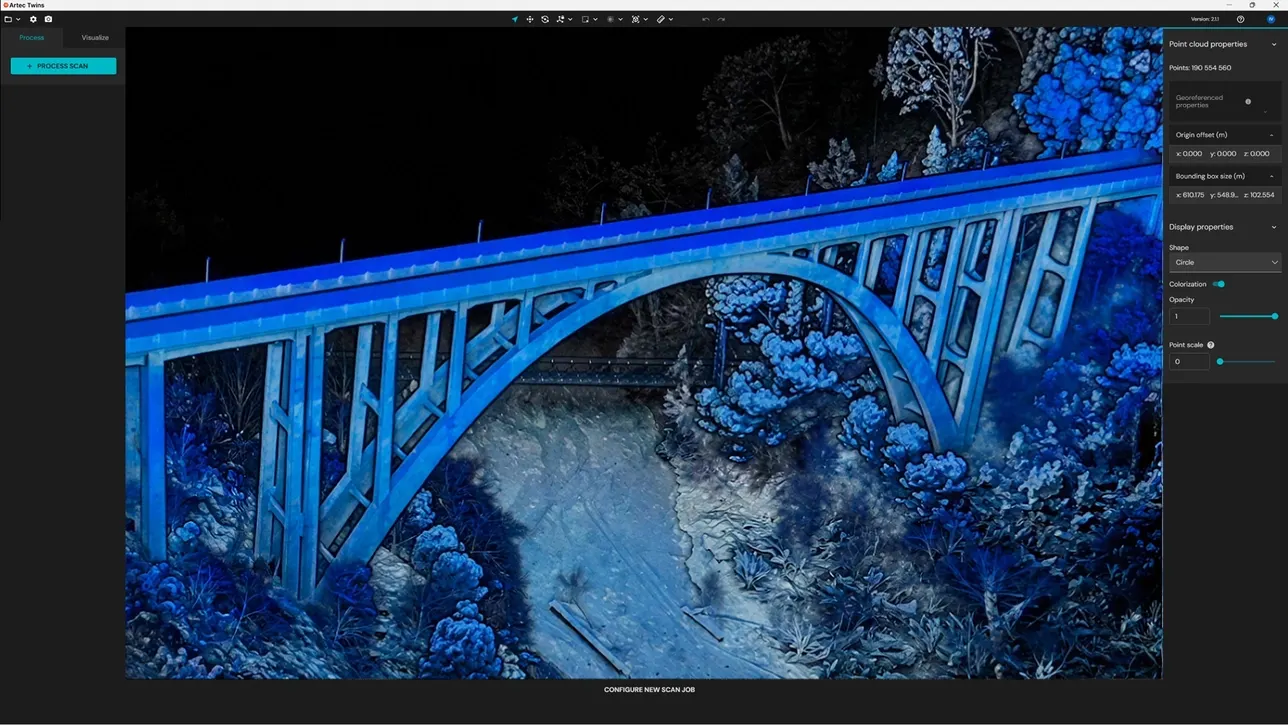
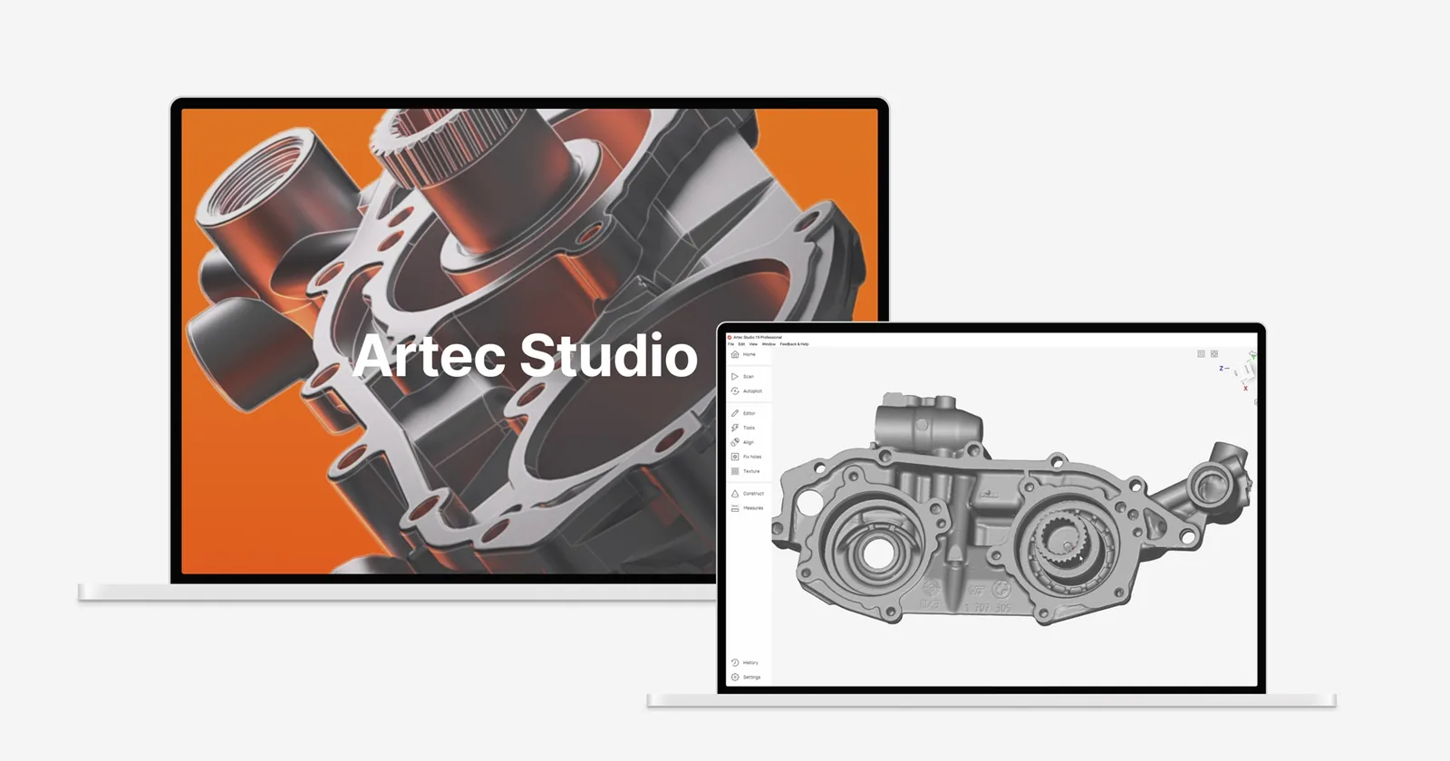
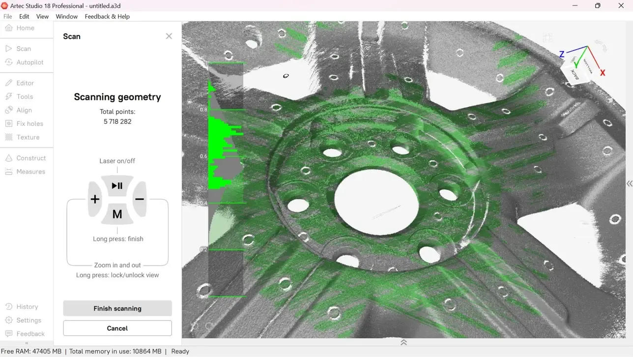
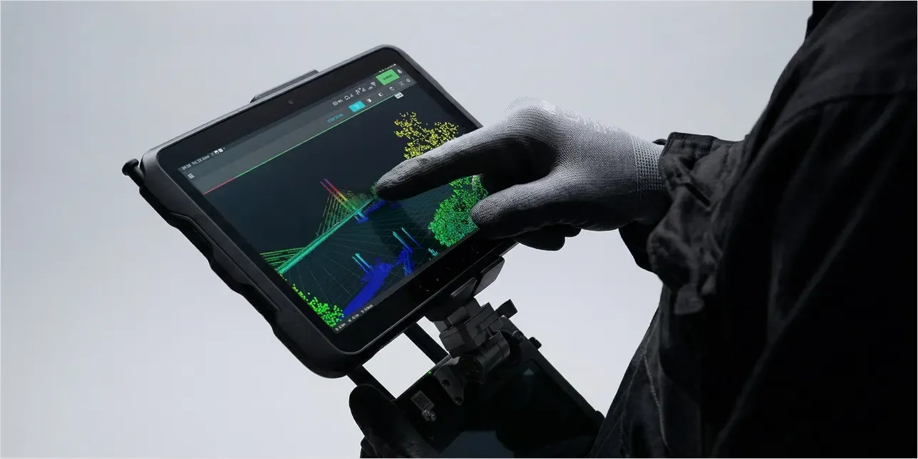
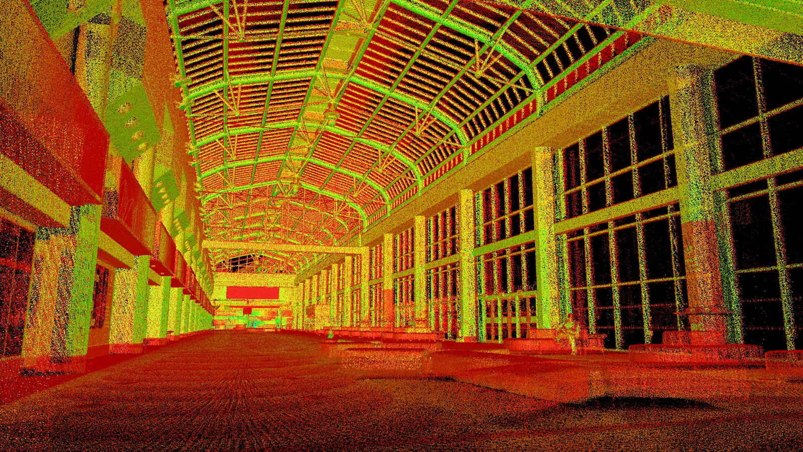
Ray II registers and meshes in Artec Studio, licensed separately. The Jet ships with Artec Twins, which merges sessions, georeferences and exports LAS, LAZ, PLY, DXF or E57.
Questions we get asked
Something else? Ring 0330 229 0175 and an engineer will answer it.
Not answered here?
Ask the engineers who run the machines. We answer the same working day.
Do you produce the Revit model?
No. The deliverable is the registered point cloud. We work alongside your modelling team and will introduce one if you do not have one.
Ray II or Jet?
The Jet maps on the move. It is faster for whole sites and spaces with no GPS. The Ray II scans from tripod positions for the highest accuracy in a focused area. Many jobs use both.
Can you work on a live site?
Yes, under your site rules and inductions. Mobile capture keeps us out of the way of the trades.
Can you compare against our design model?
Yes. Send the model in IFC or your native format and we will report the deviations that matter to you.
Can you scan an occupied building?
Yes. We plan around occupancy and access. Mobile scanning keeps the time in each space short.
Tell us the building and what the cloud is for
Where it is, how big, how we get in and what your modellers need. The last one matters most, because it decides how accurate the capture has to be.