.svg)
IndustriesBuildings & facilities
Scanning buildings and facilities
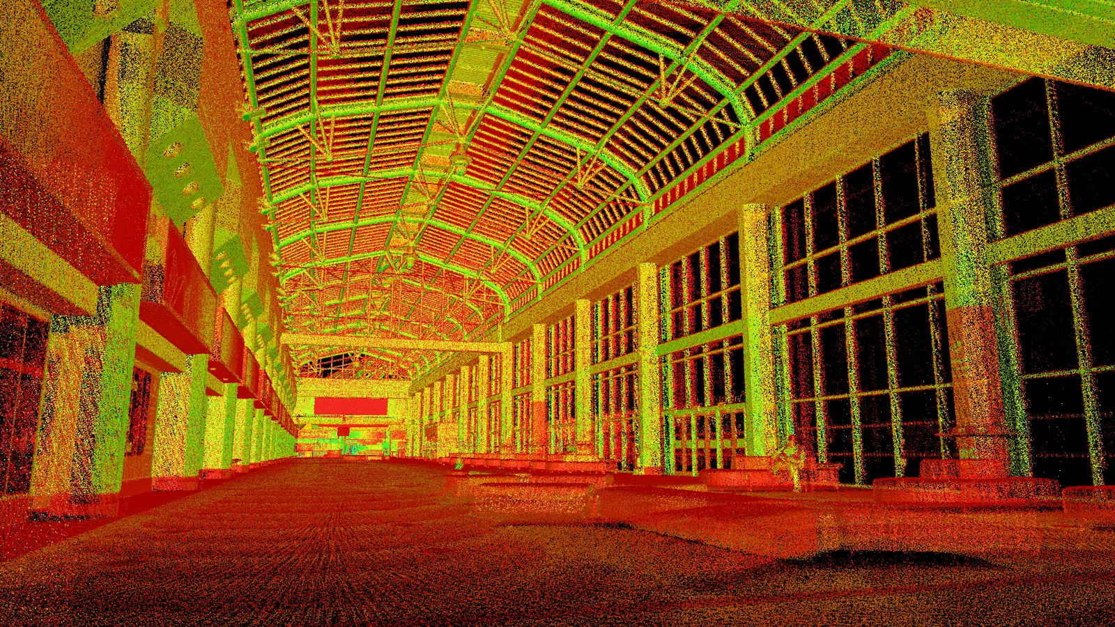
Interiors, plant rooms, façades and factory floors, where the deliverable is a registered point cloud the design team can trust. We capture it with tripod LiDAR plus mobile SLAM. We hand it to your modellers ready for Revit and BIM.
- Architects and BIM teams
- Building services engineers
- Facilities and estates
- Manufacturing plants
- Heritage and conservation
- Contractors and fit-out
- 1.9 mm
- Ray II point accuracy at 10 m
- 130 m
- Ray II range
- 1.7 min
- Full dome at highest resolution
Why the drawings are not enough
Every building has changed since it was drawn
- 01
The record has not kept up
Services were rerouted, a mezzanine went in, a wall moved. Retrofit designed from old drawings meets the building on site, which is the most expensive place to find out.
- 02
Occupied, working spaces
Offices, plant rooms and factories rarely stop for a survey. Capture has to be planned round occupancy, shifts and access. It also has to keep the time in each space short.
- 03
Congested plant and risers
Pipework, ducts and cable trays hide each other. Tripod stations alone leave shadows in tight spaces; mobile SLAM through corridors and risers fills them.
- 04
A cloud your modellers can actually open
Billions of points in one file slow Revit to a crawl. The cloud has to be registered, checked and split by level, zone or system before it is any use.
Scan to BIM handover
From site visit to a cloud in your modellers’ hands
We are a measurement business. We capture the building. We hand over a registered point cloud ready for Revit and BIM workflows. If you have no modelling team, we will introduce you to one rather than improvise.
- 1
Scope
Areas, level of detail, the accuracy the model needs and the coordinate system your project uses. What the cloud is for decides tripod, mobile or both.
- 2
Scan
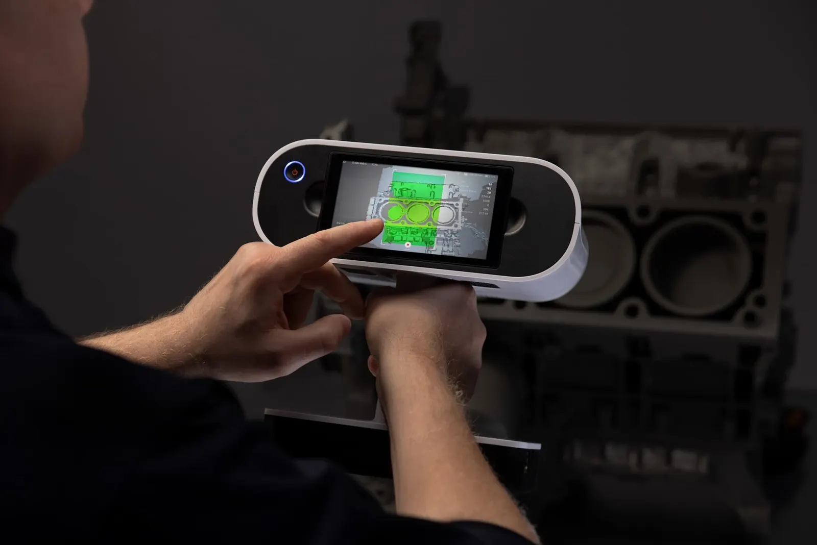
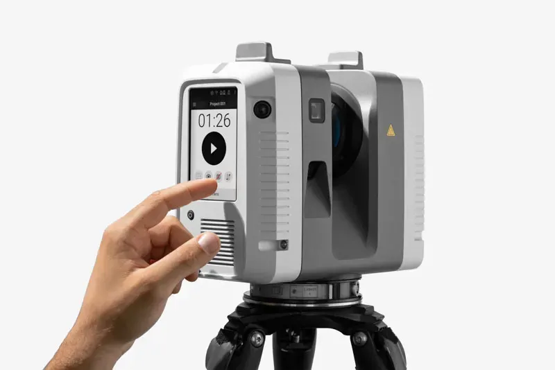
Artec Ray II stations from a tripod for accuracy over distance, with in-field calibration checks. Its double-scan option removes people who walk through the scene.
- 3
Fill the gaps
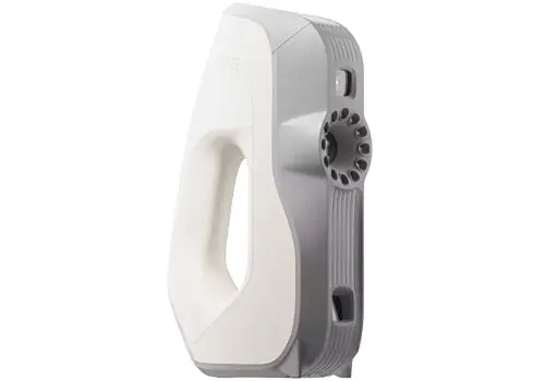
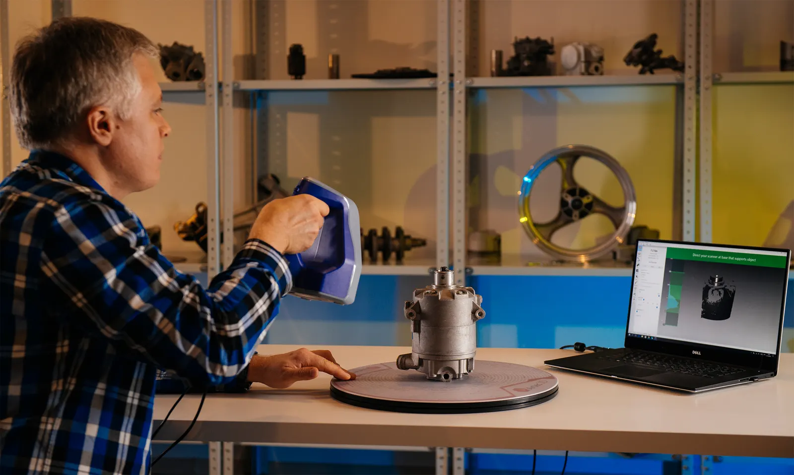
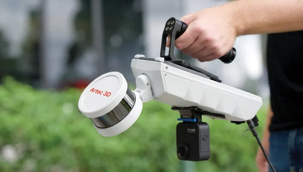
The Artec Jet maps corridors, risers and ceiling voids at walking pace. A handheld Leo captures plant detail the tripod cannot see.
- 4
Register and check
Every scan joined into one cloud, checked for coverage and tied to your grid or site control.
- 5
Hand over
RCP for Autodesk, E57 for everything else, organised by level, zone or system so the model stays quick, with plans and sections extracted on request.
What we capture
Buildings, plant and the things inside them
 Retrofit and refurbishmentA measured record of what is there today, for designing alterations, change of use and fit-out against the real building.Read more
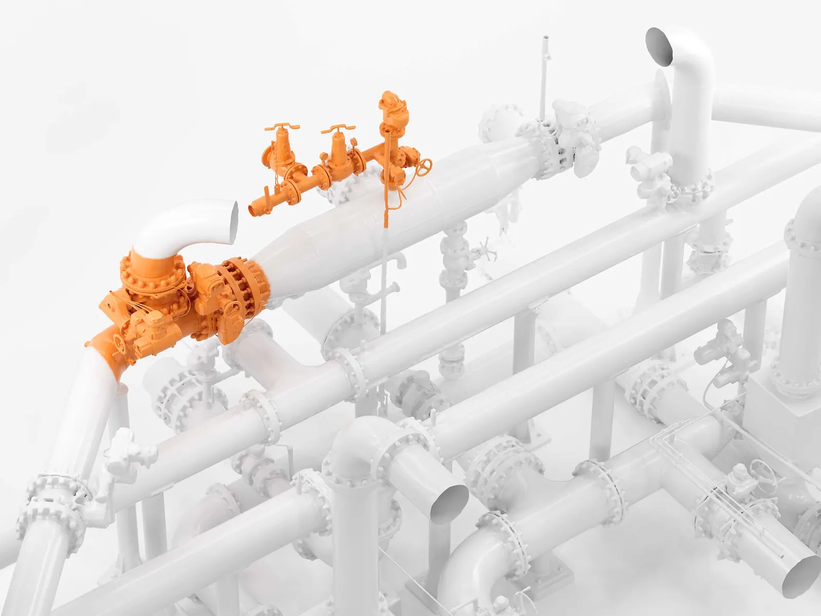
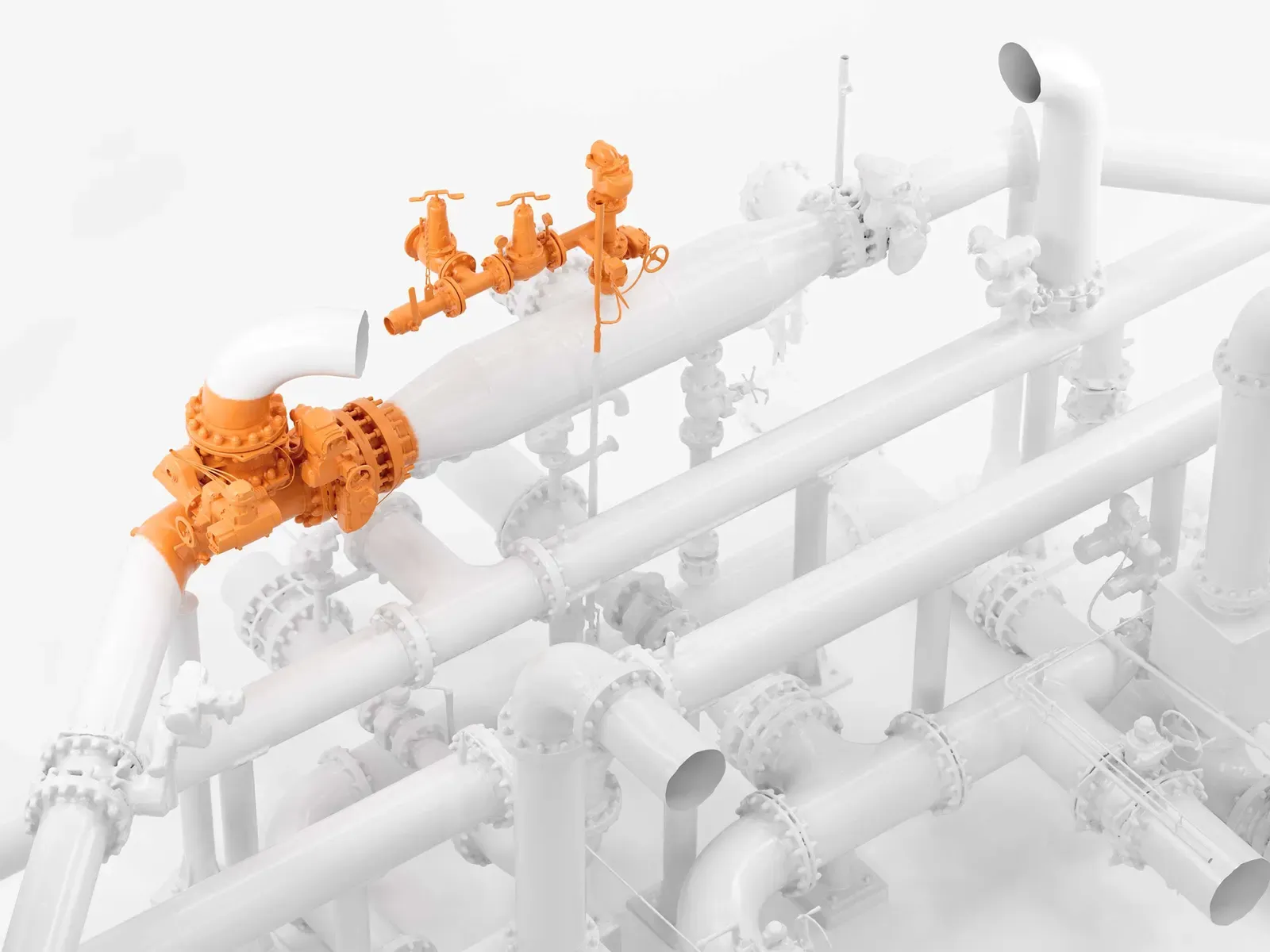 Plant rooms and building servicesPipework, ducts and equipment captured. New services can then be routed and clash-checked against what is actually installed.Read more
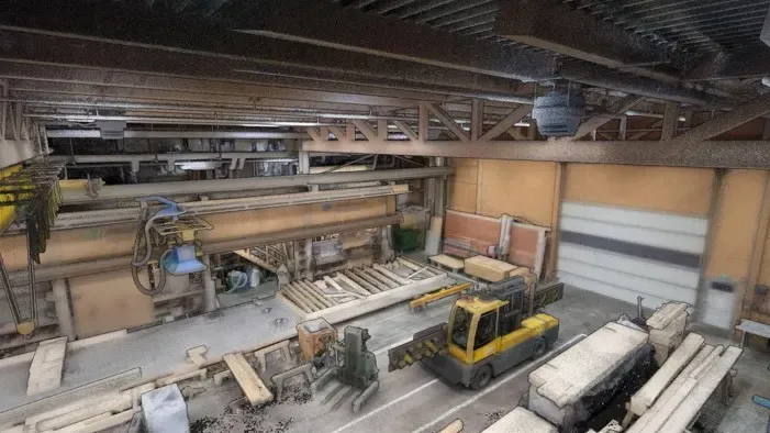
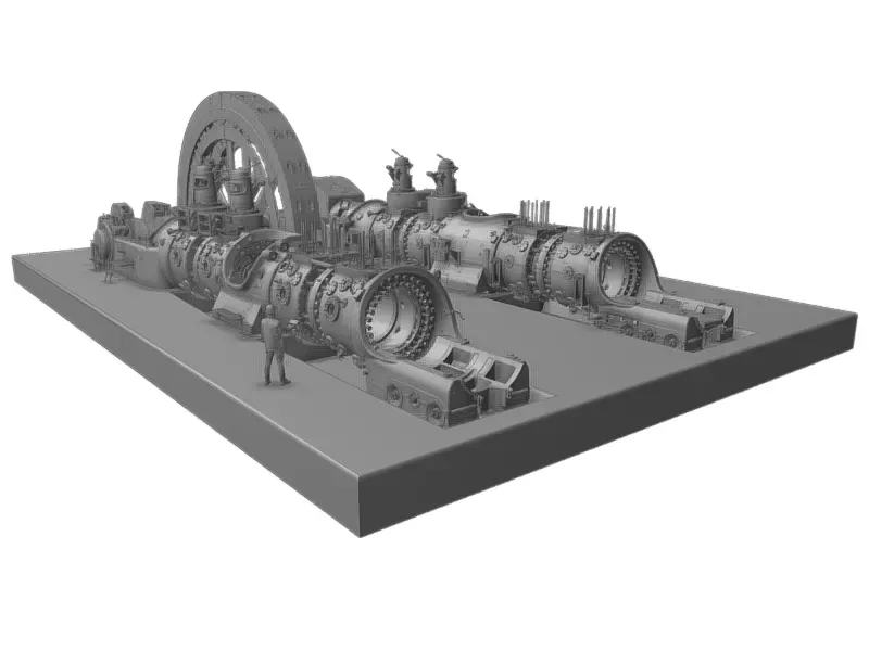 Factories and production hallsMachine halls and lines captured as the base for a digital twin, a new line layout or a planning check, at the accuracy the use actually needs.Read more
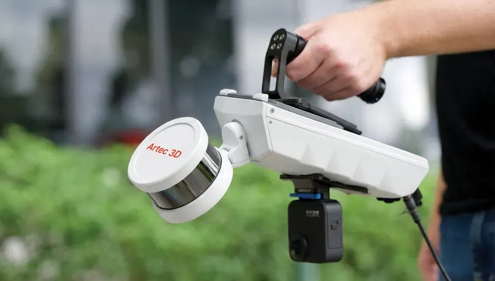 Fast capture of whole floorsWhere a tripod would take all week, the Artec Jet maps floor after floor at walking pace, to ±10 mm indoors on Artec’s published figures.Read more
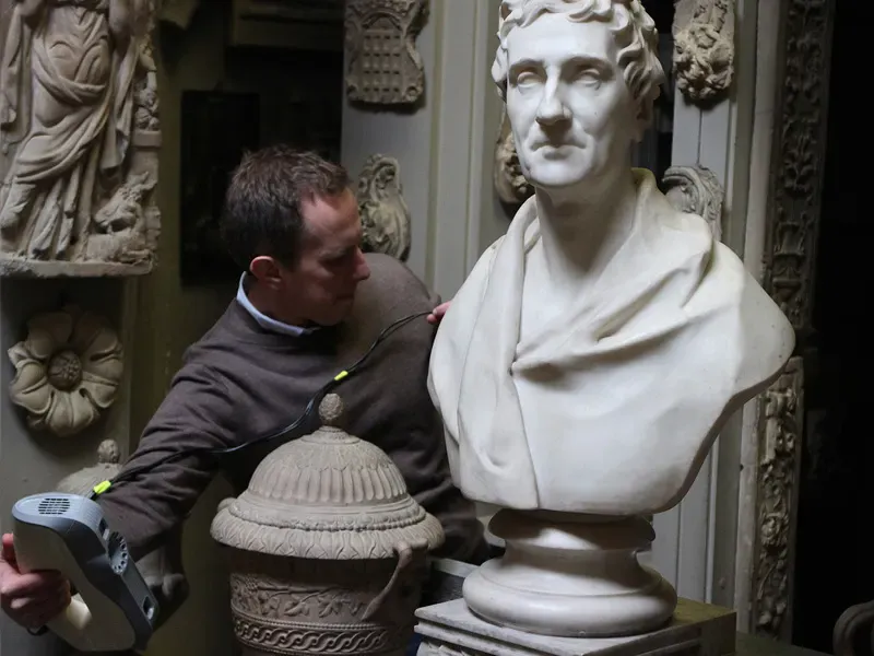 Heritage interiorsHistoric buildings and their contents recorded without touching anything. At Sir John Soane’s Museum we scanned the bust of Soane in its gallery, above a sarcophagus, with Artec Eva and Spider.Read more
Kit for buildings
Most building jobs use two of these: the Ray II for control and accuracy, the Jet for coverage, the Leo for detail.
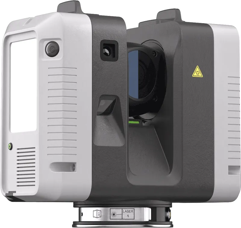
£49,938ex VAT
Find out more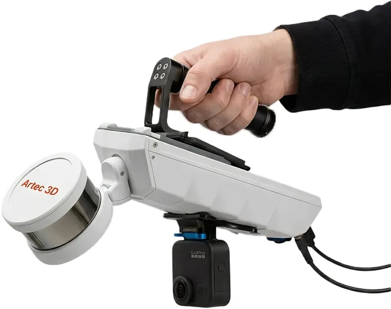
£32,340ex VAT
Find out more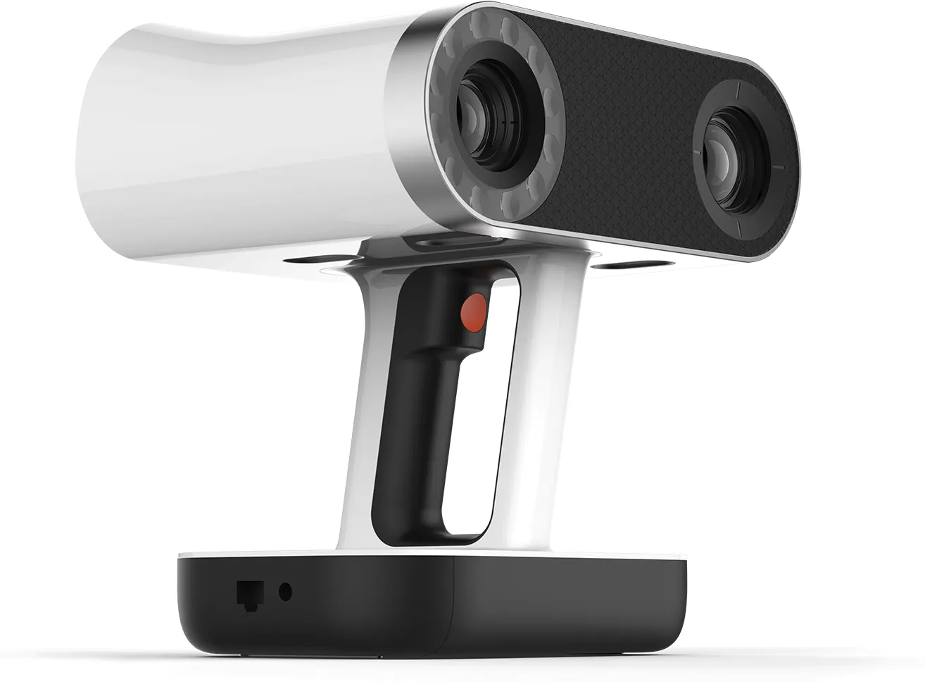
£29,232ex VAT
Find out moreRegistration and processing
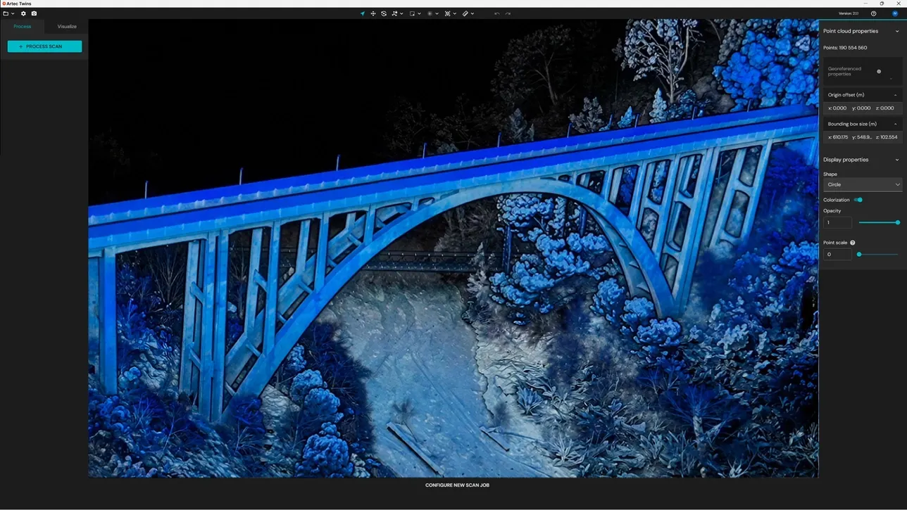
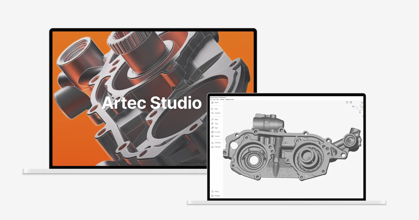
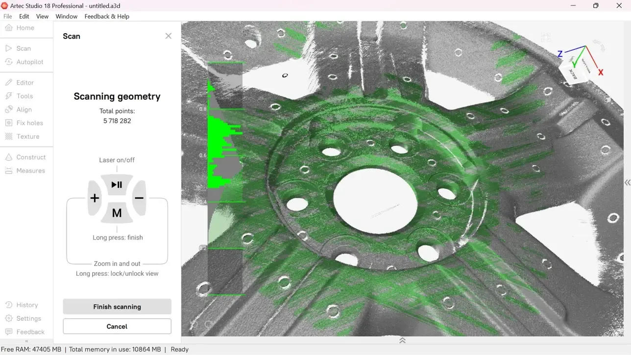
Artec Studio registers Ray II scans and builds meshes in the same package. The Jet runs in Artec Twins, covered on our one-day mobile LiDAR course.
Related work
Jobs we did ourselves, written up with the people we did them for.
Questions we get asked
Something else? Ring 0330 229 0175 and an engineer will answer it.
Not answered here?
Ask the engineers who run the machines. We answer the same working day.
Do you produce the Revit model?
No. We deliver the registered point cloud, ready for your modellers. A cloud from people who scan every day is worth more to a BIM team than a model from people who do not model every day. If you have no modelling team, we will put you in touch with one.
Tripod or mobile scanning?
Tripod scanning with the Ray II is more accurate over distance; mobile SLAM with the Jet is far quicker through large or complicated buildings. Most building jobs use both.
What formats do you deliver?
RCP for Revit and Autodesk, E57 for everything else, with lighter working sets split by level or zone alongside the full-resolution archive.
Can you scan an occupied building?
Yes. We plan round occupancy and access. Mobile capture keeps the time in each room short. The Ray II’s double scan removes people who walk through.
How accurate is the cloud?
Artec publish 1.9 mm point accuracy at 10 m for the Ray II and ±10 mm mapping accuracy indoors for the Jet. We specify the mix to the accuracy your model needs, because paying for more than that is how these projects overrun.
Can our own team learn to do this?
Yes. We sell and support the Ray II plus the Jet. We also run one-day courses on Artec Studio for LiDAR and on Artec Twins for mobile mapping.
Describe the building
Where it is, roughly how big, how we get in and what the cloud is for. We will scope the capture to match and quote it properly.