.svg)
Laser scanning and reality capture
Change detection and monitoring
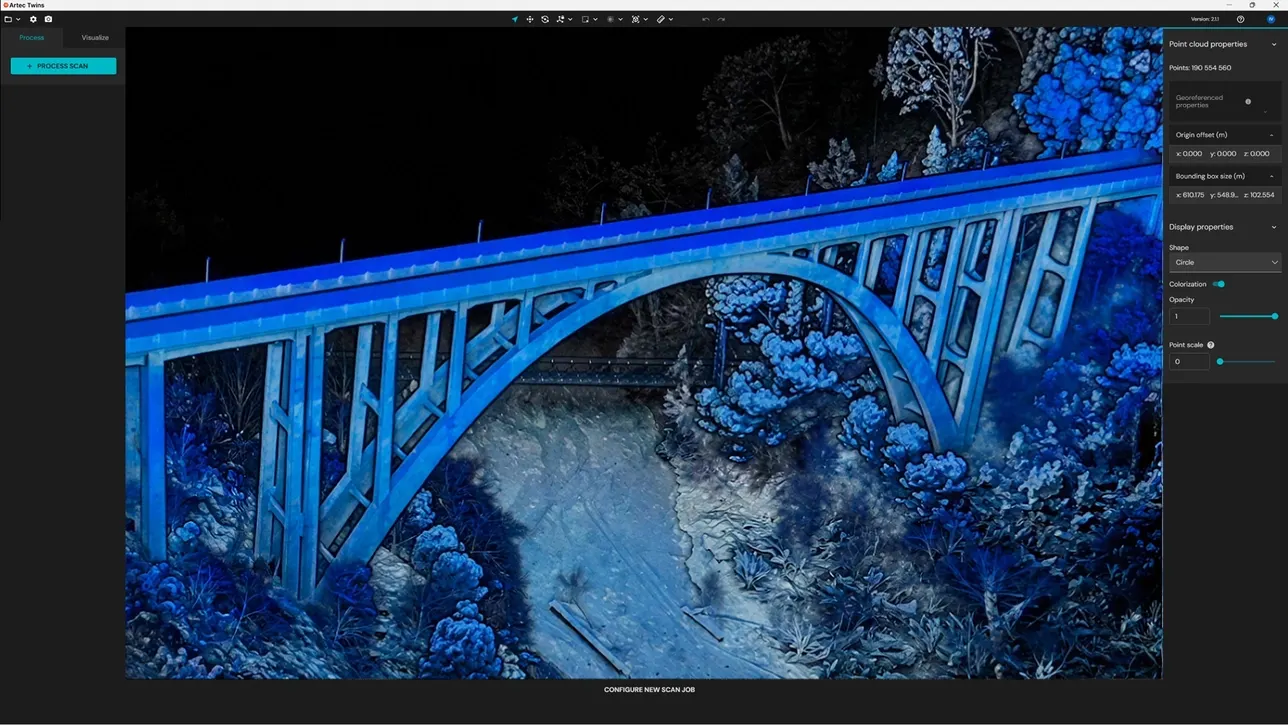
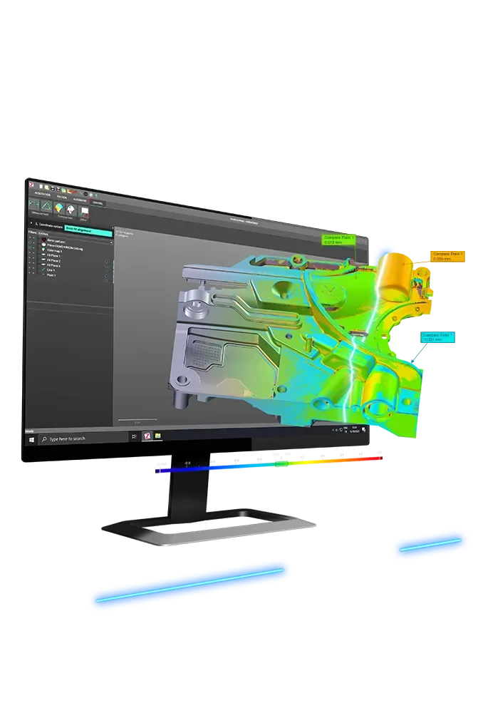
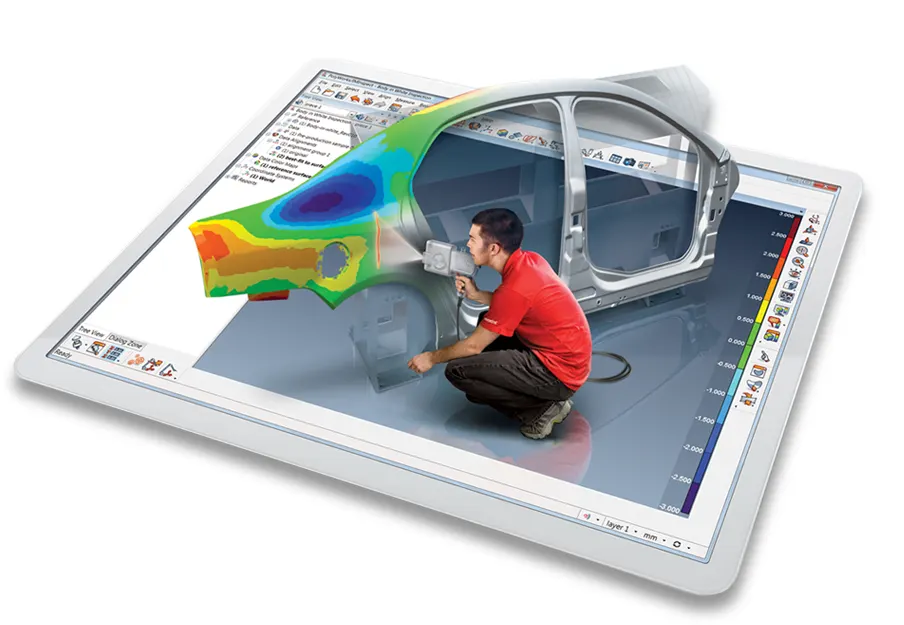
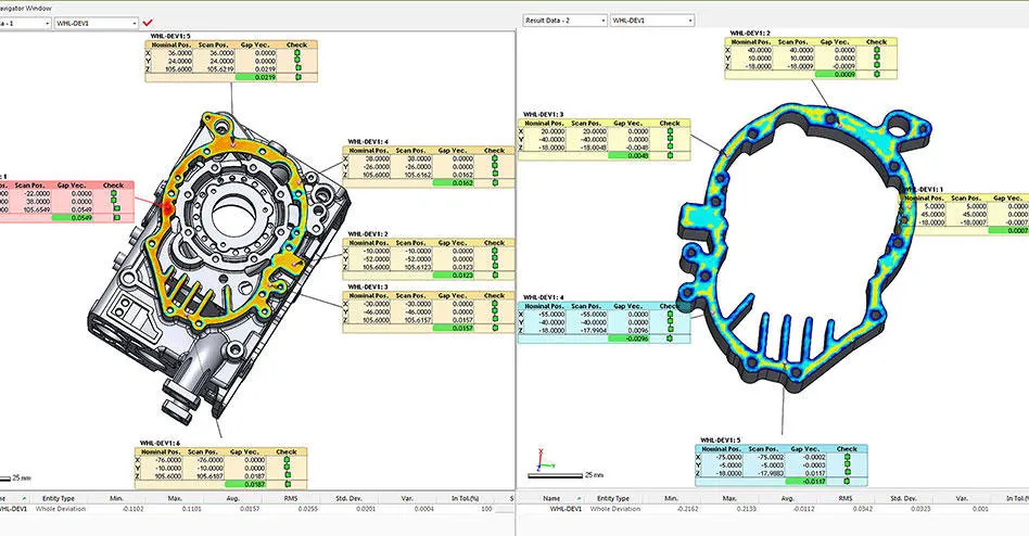
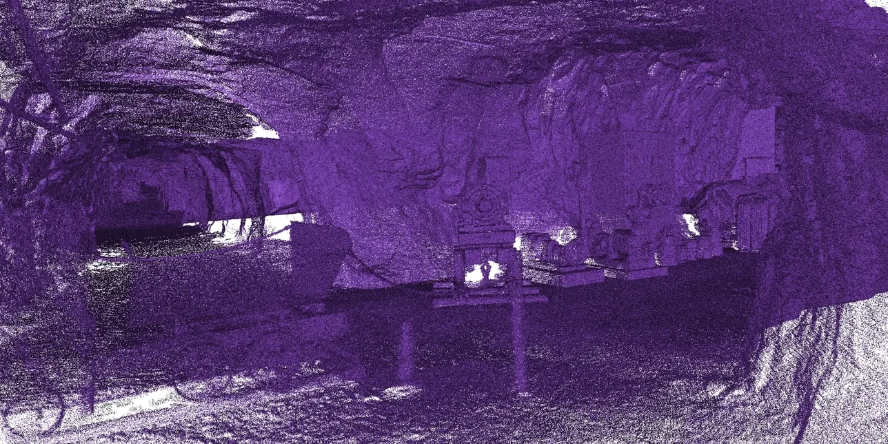
What has moved since last time? We capture the site or structure, then come back to capture it again. We deliver the difference: settlement, deflection, erosion, deformation or progress, measured over the whole surface.
- Not just a few targets
- Whole surface
- Change shown in colour
- Difference map
- Same control every visit
- Repeatable
The answer everybody actually wants
Monitoring a few survey prisms tells you about a few points. Repeat laser scanning compares the whole surface, so movement shows up wherever it happens, not only where somebody guessed it would.
Each capture is tied to the same control, so the clouds line up and the comparison is meaningful. The deliverable is the difference against the previous capture, which is the only form of the answer anyone needs.
How a job runs
- 01
Baseline
First capture tied to stable control, which every later visit reuses.
- 02
Repeat
Same stations or routes, on the schedule the risk calls for.
- 03
Compare
Each capture against the baseline and the last visit.
- 04
Report
Difference maps, sections and the values that cross your thresholds.
What you get back
In the formats your team already uses. Ask if you need something else.
Difference map
Movement in colour over the whole surface, between any two visits.
Sections
Profiles through each capture at fixed stations, overlaid.
Each capture
The registered clouds, for your own analysis.
The kit we use
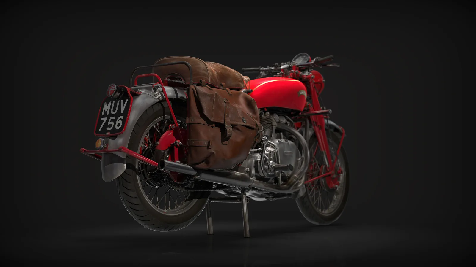
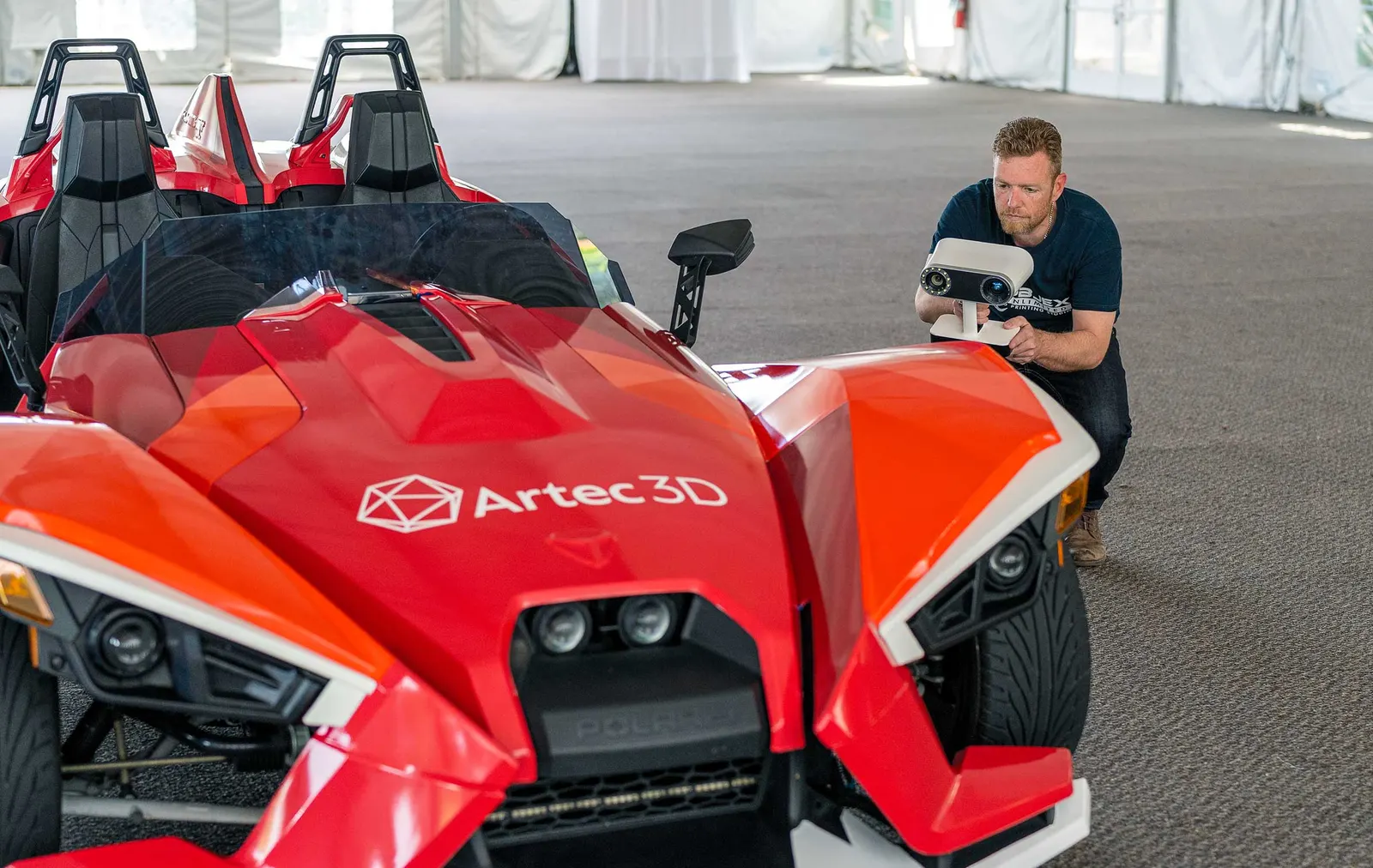
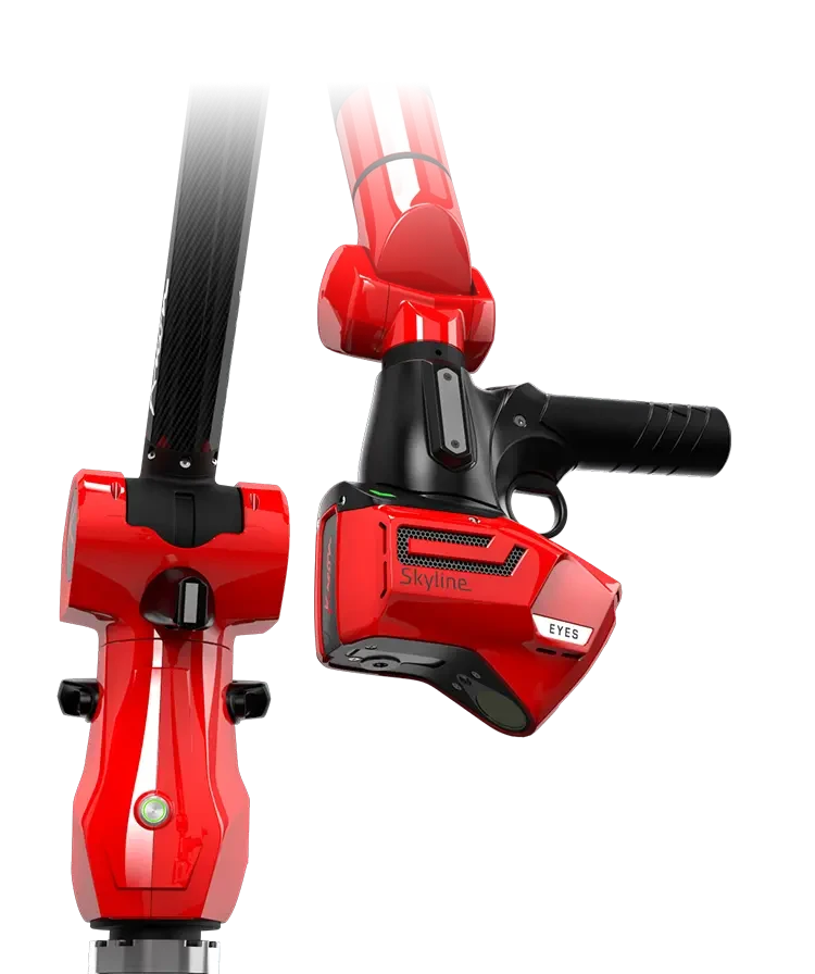
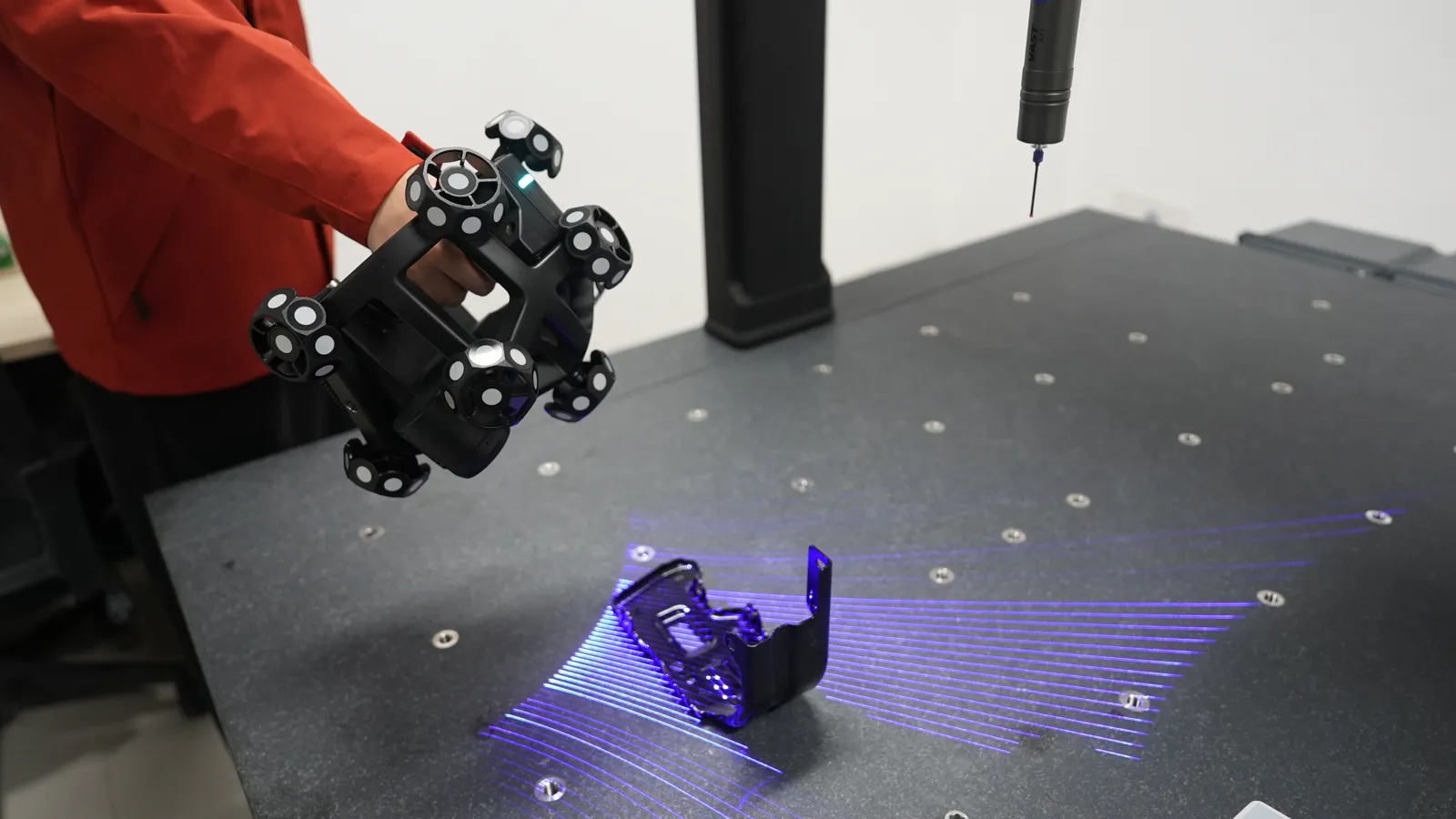
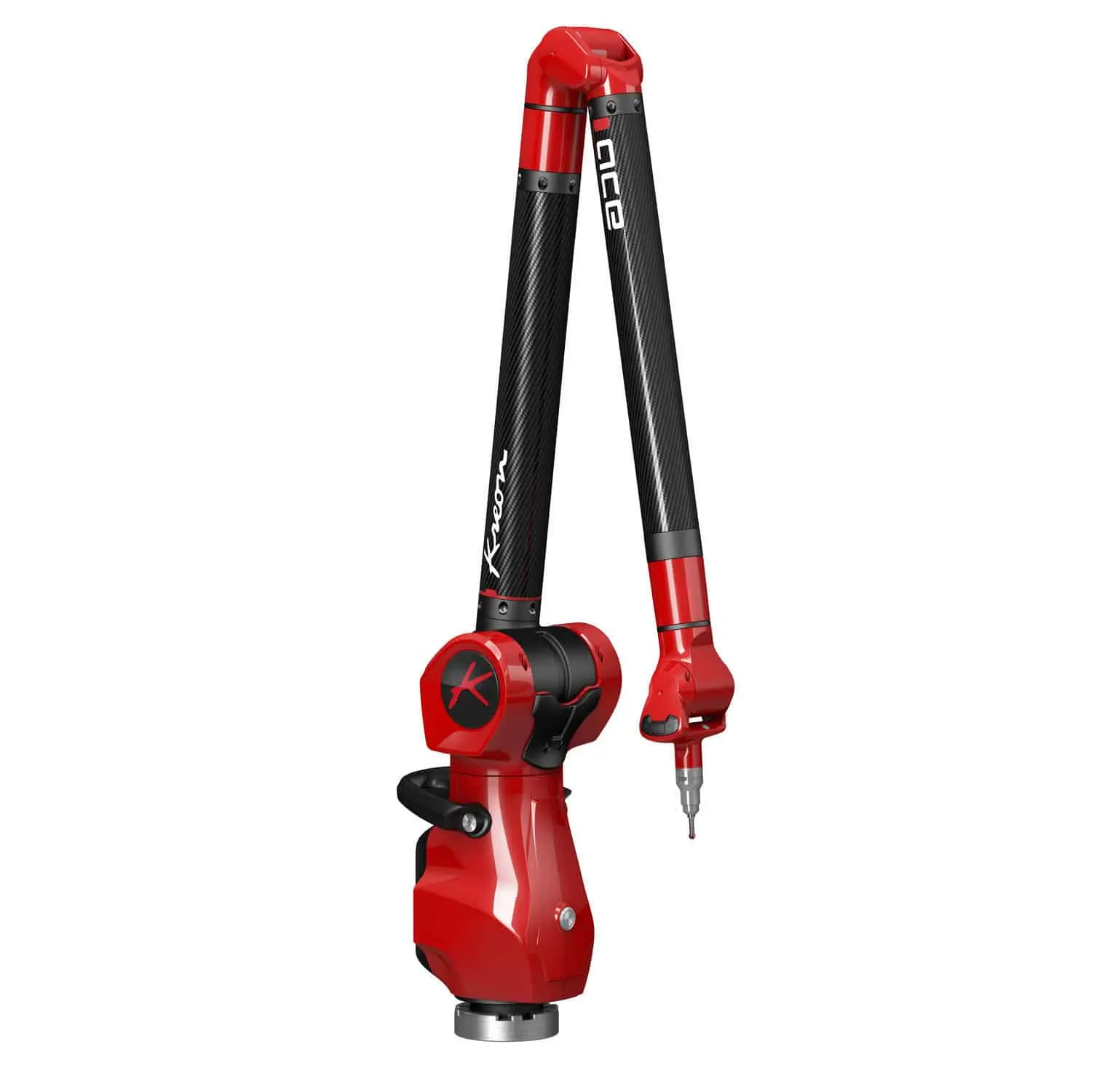
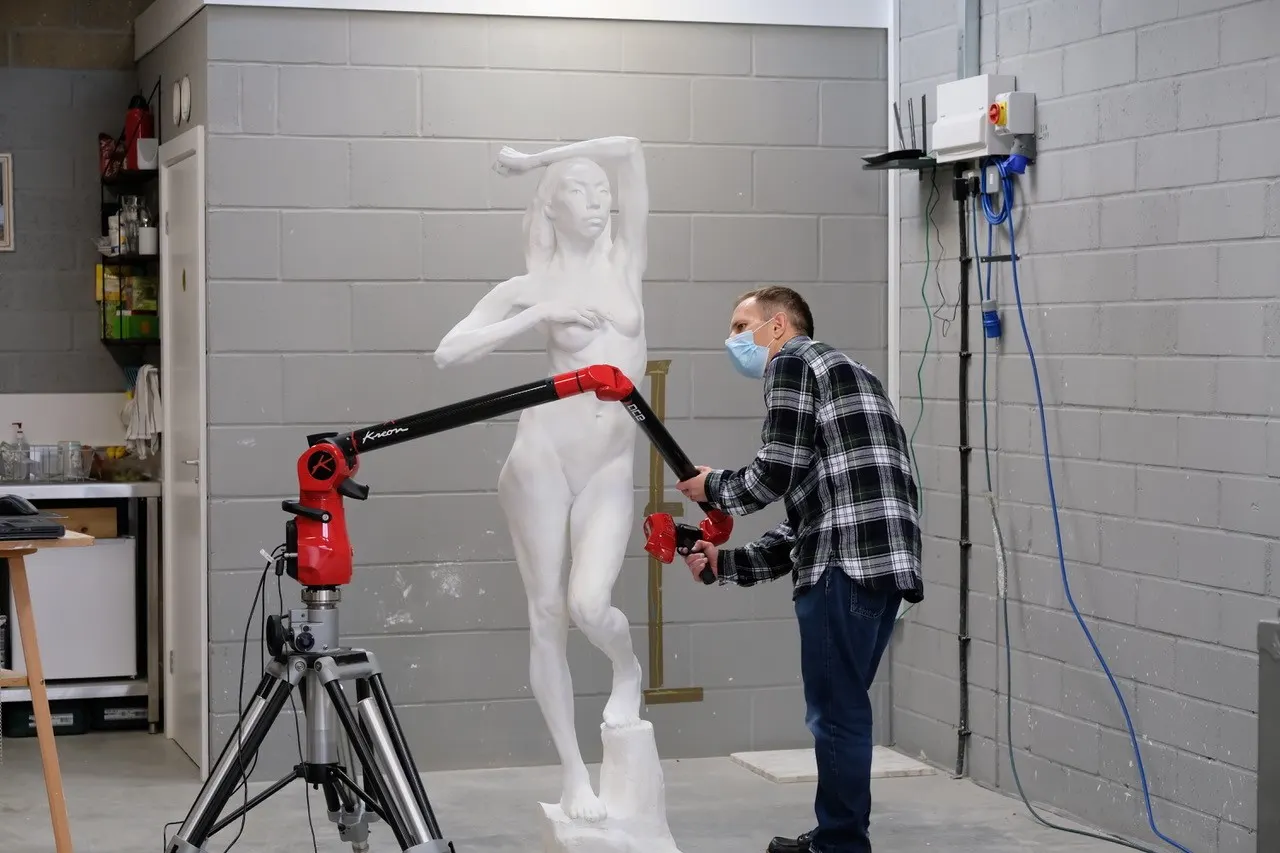
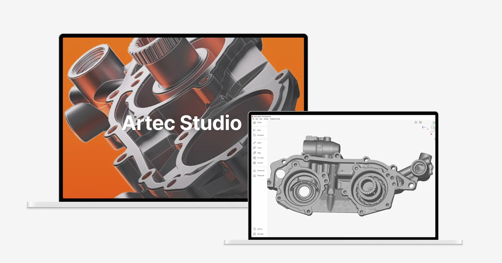
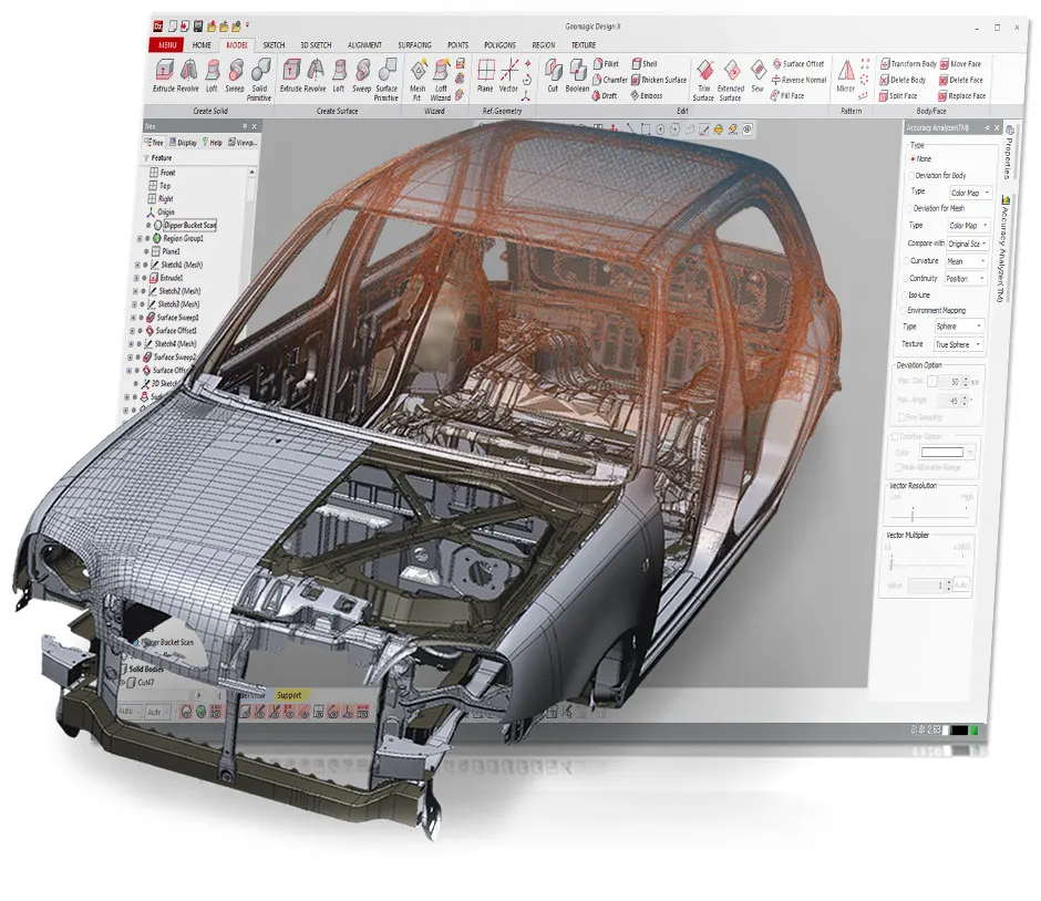
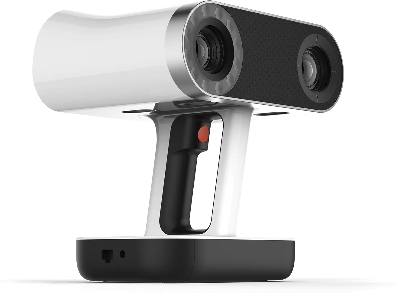
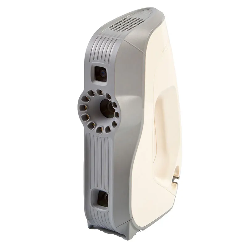
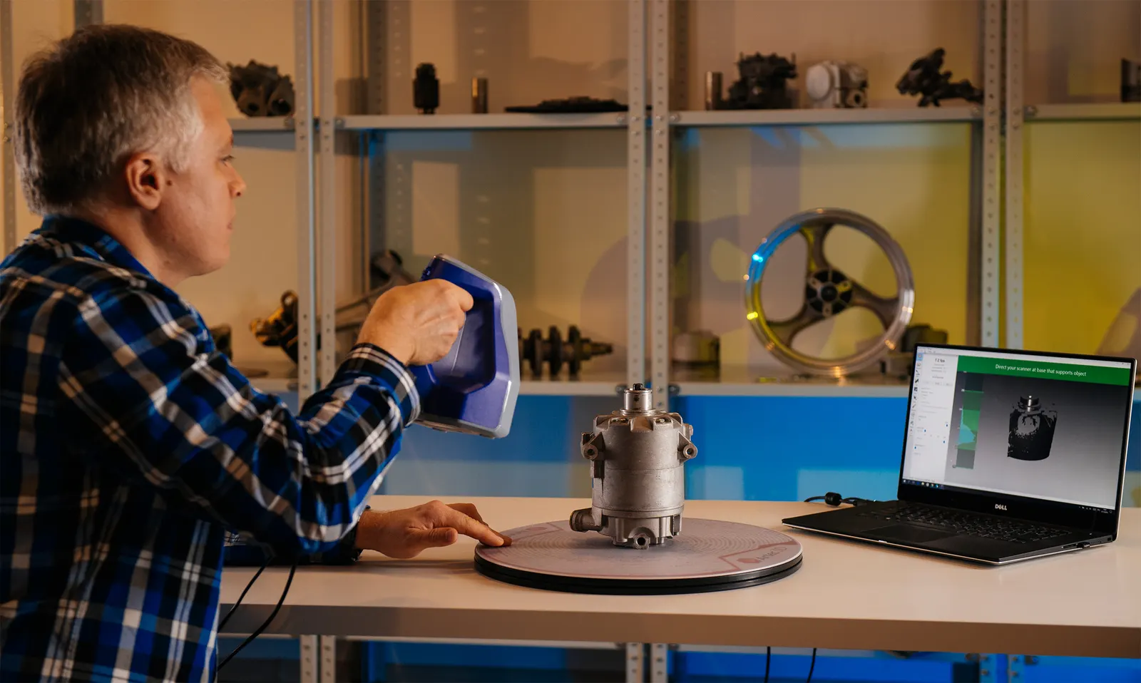
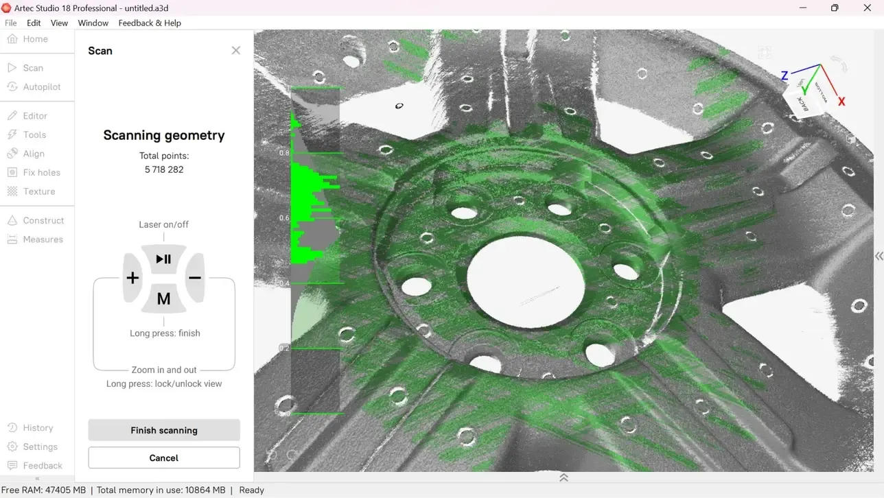
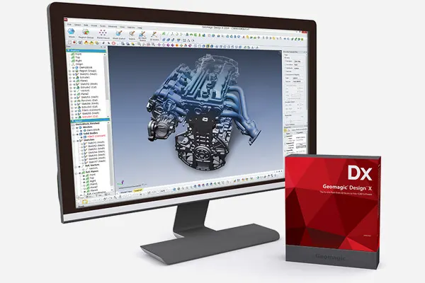
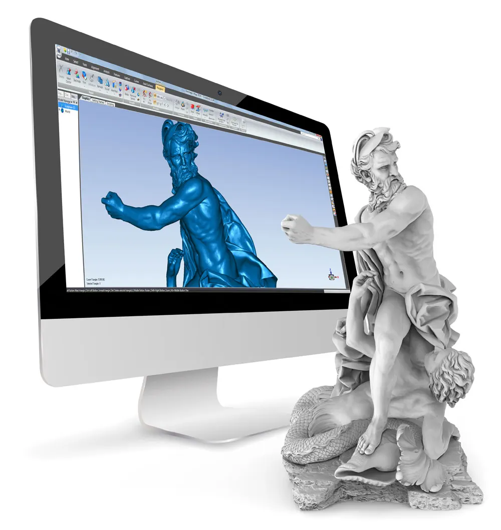
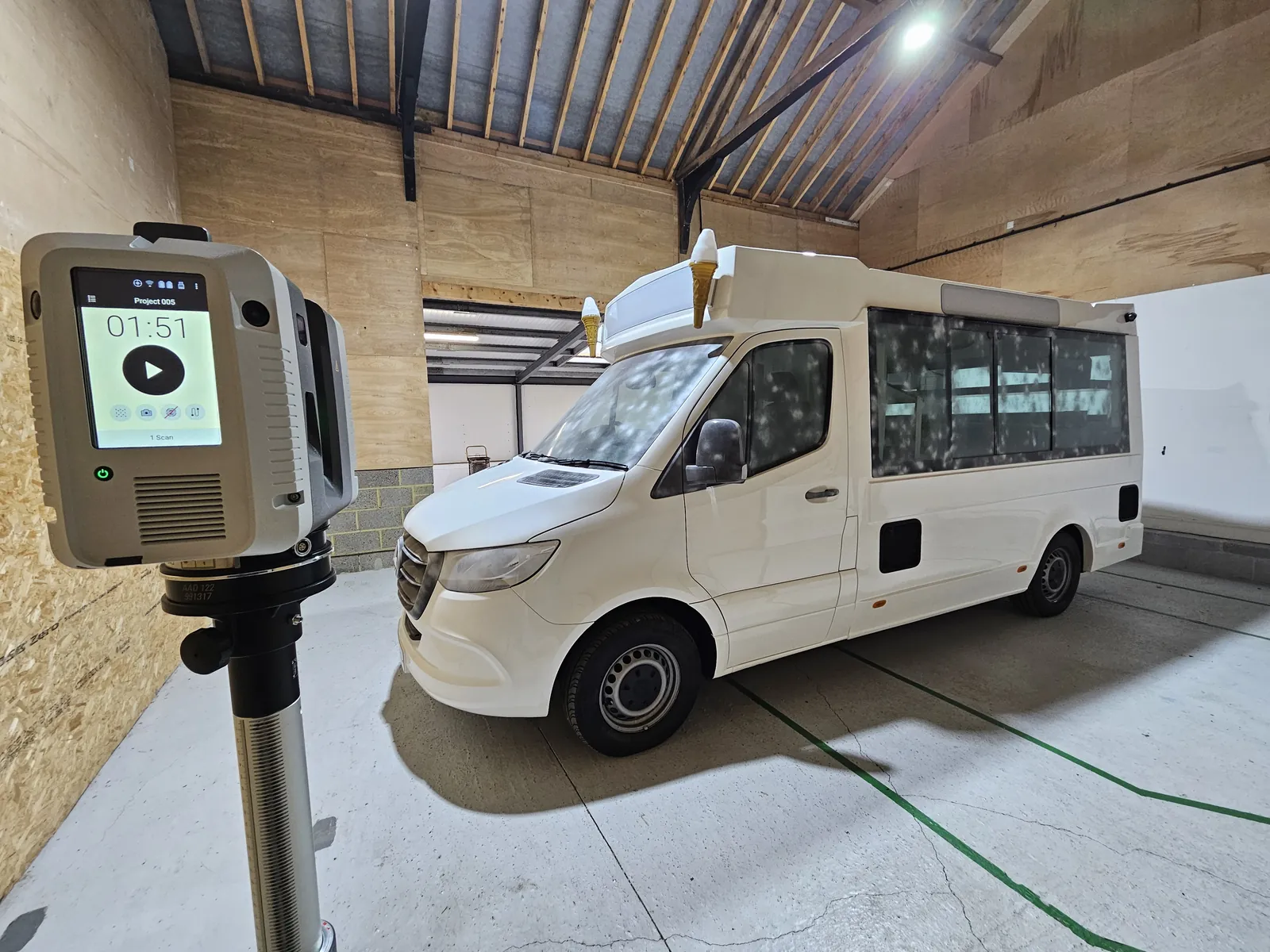
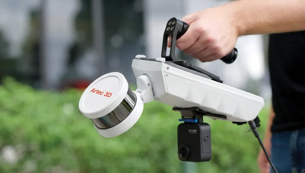
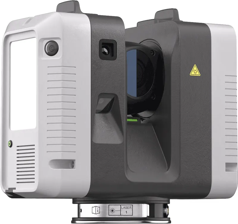
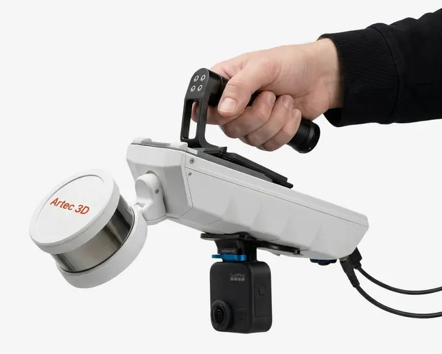
The same scanners, arms and software we sell, train on and support. Like what you see? You can buy or hire it too.
FAQ
If yours is not here, ring 0330 229 0175 and ask for the scanning team.
Not answered here?
Ask the engineers who run the machines. We answer the same working day.
How often should we scan?
As often as the risk demands. A construction neighbour might need monthly captures; a slow-moving slope, a few a year. We will suggest a schedule with the quote.
Can you compare with an older survey?
Often, if it has known coordinates. Otherwise our first visit becomes the baseline.
Tell us what needs scanning
A photo, a rough size and what you need out of it. We will come back with a fixed price and a date, and if scanning is not the right answer, we will say so.
Whitchurch SY13 4AL