.svg)
Reality capture · UK
3D laser scanning and reality capture
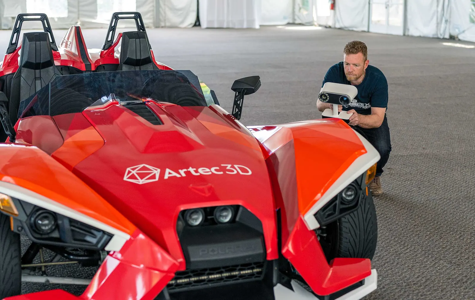
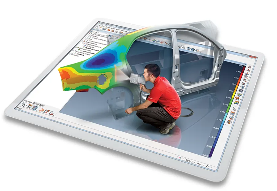
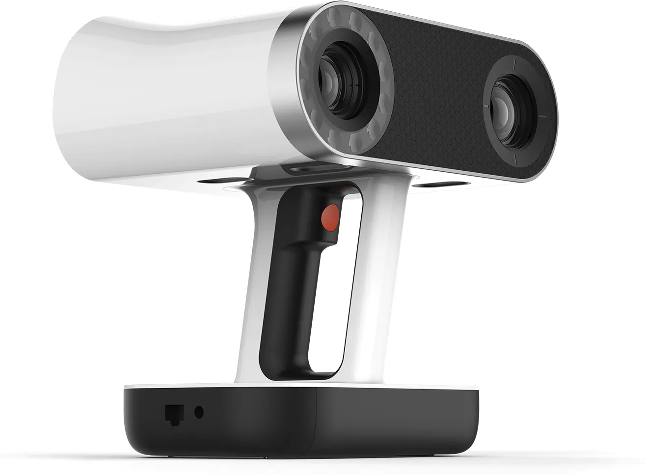
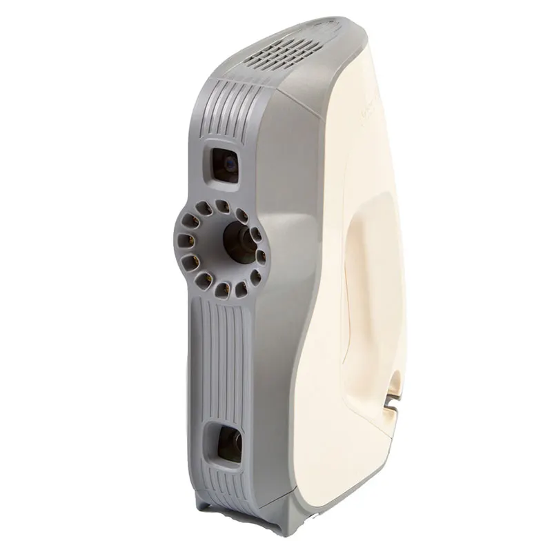
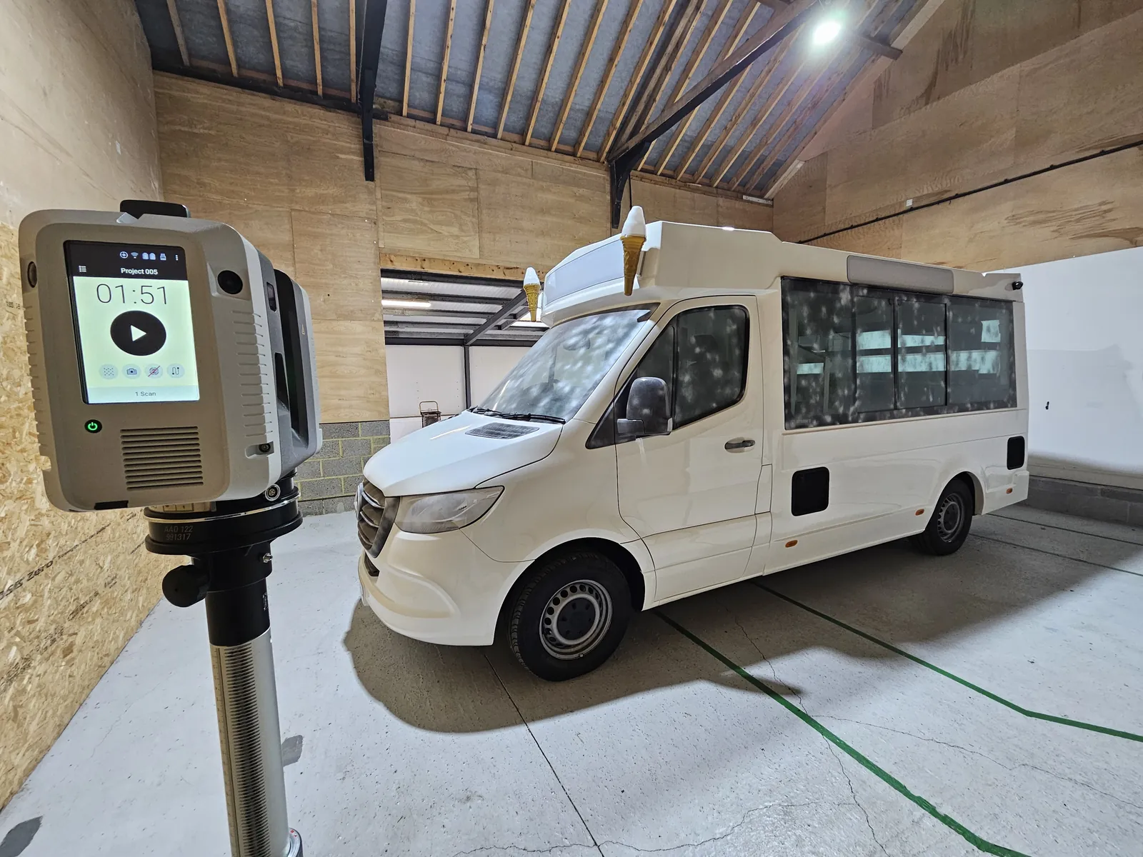
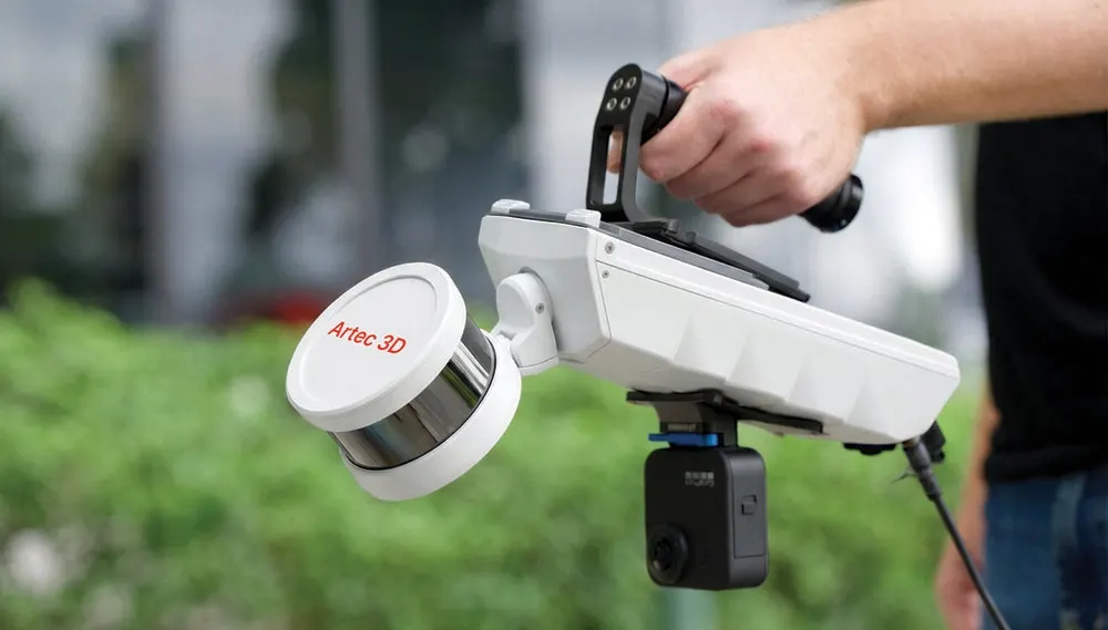
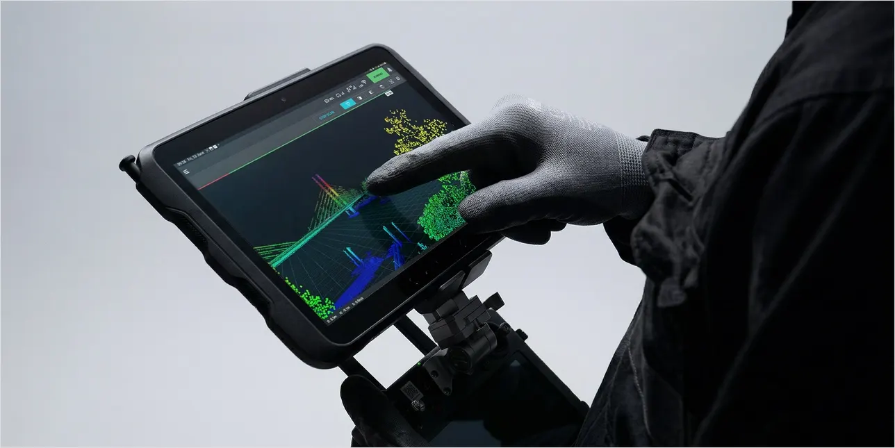
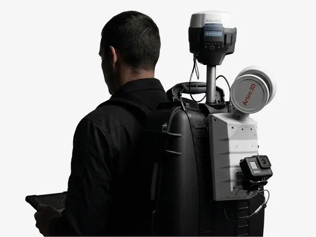
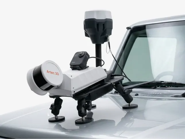
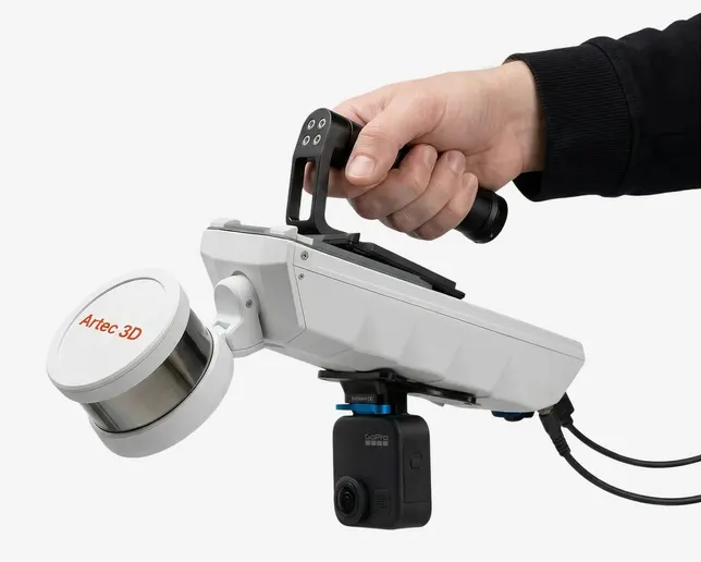
Buildings, plant, infrastructure, land and mines, captured as a registered point cloud your team can trust. Terrestrial LiDAR from a tripod with the Artec Ray II, mobile SLAM on foot, vehicle or drone with the Artec Jet and handheld detail with the Artec Leo where it matters.
- Tripod range, Artec Ray II
- 130 m
- Mobile mapping, Artec Jet indoors
- ±10 mm
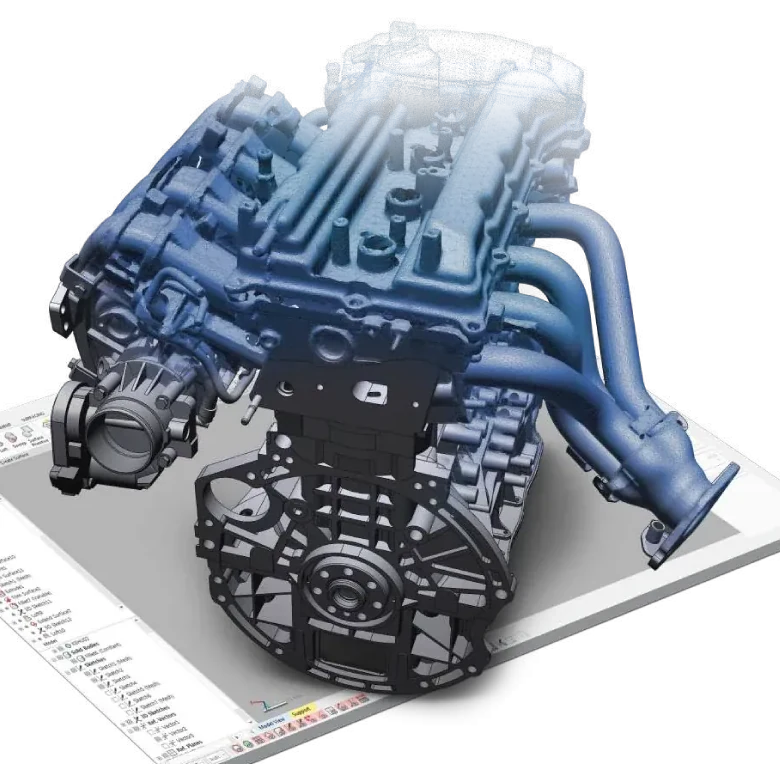
- Registered point clouds
- E57 · LAS · RCP
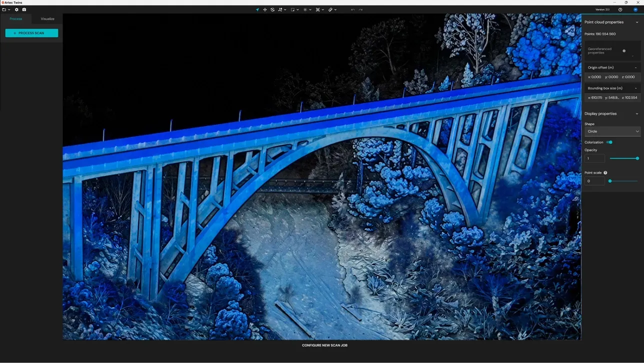
Measured, not assumed
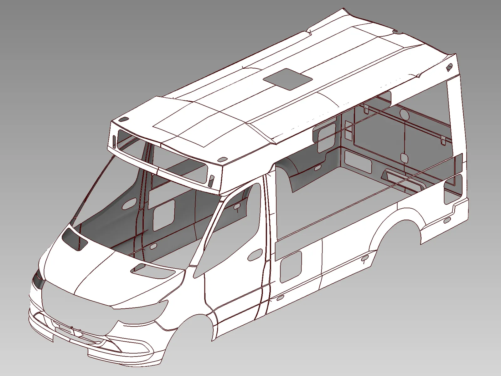
Every site has been changed since it was drawn. Reality capture replaces the drawings with a measured record of what is there today: millions of points, registered into one cloud, georeferenced where the project needs it.
We are a measurement business. We deliver the point cloud and work alongside your modelling, design or survey team. Where a project needs full BIM authoring we will say so and bring in a partner, rather than quietly stretch the scope.
A digital twin you can walk round
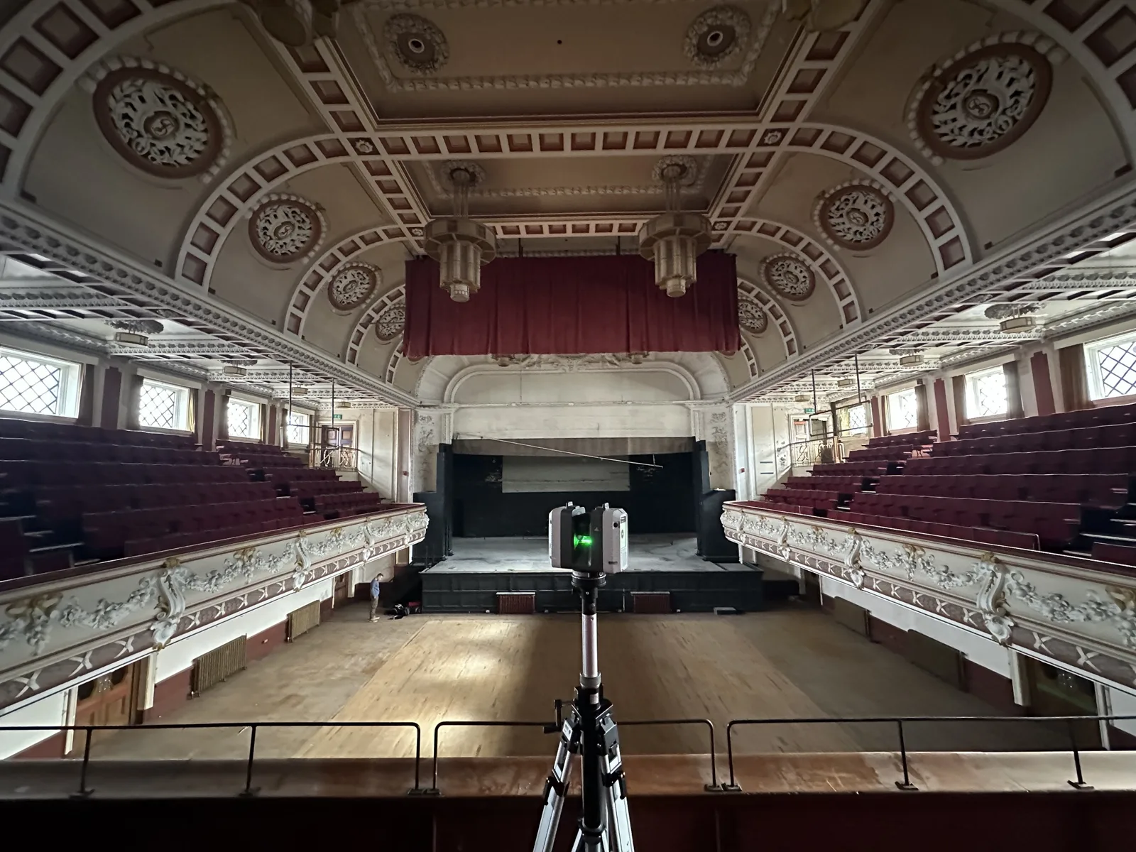
Queen's Theatre in Burslem, captured from 40 Artec Ray II positions in five hours for its restoration. The architects, the acoustic engineers and the fundraisers all work from this one model.
Read the case study →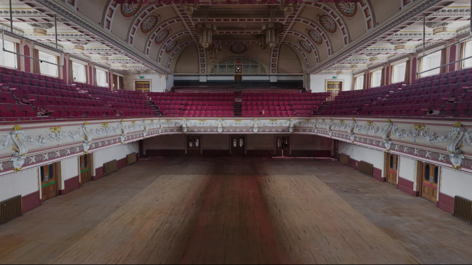
Laser scanning & reality capture: the services
Each one has its own page: what it is for, how we do it and what you get back.
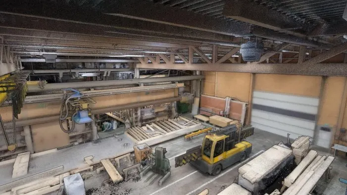 Digital twinsWe scan it and build the twinSee the service →
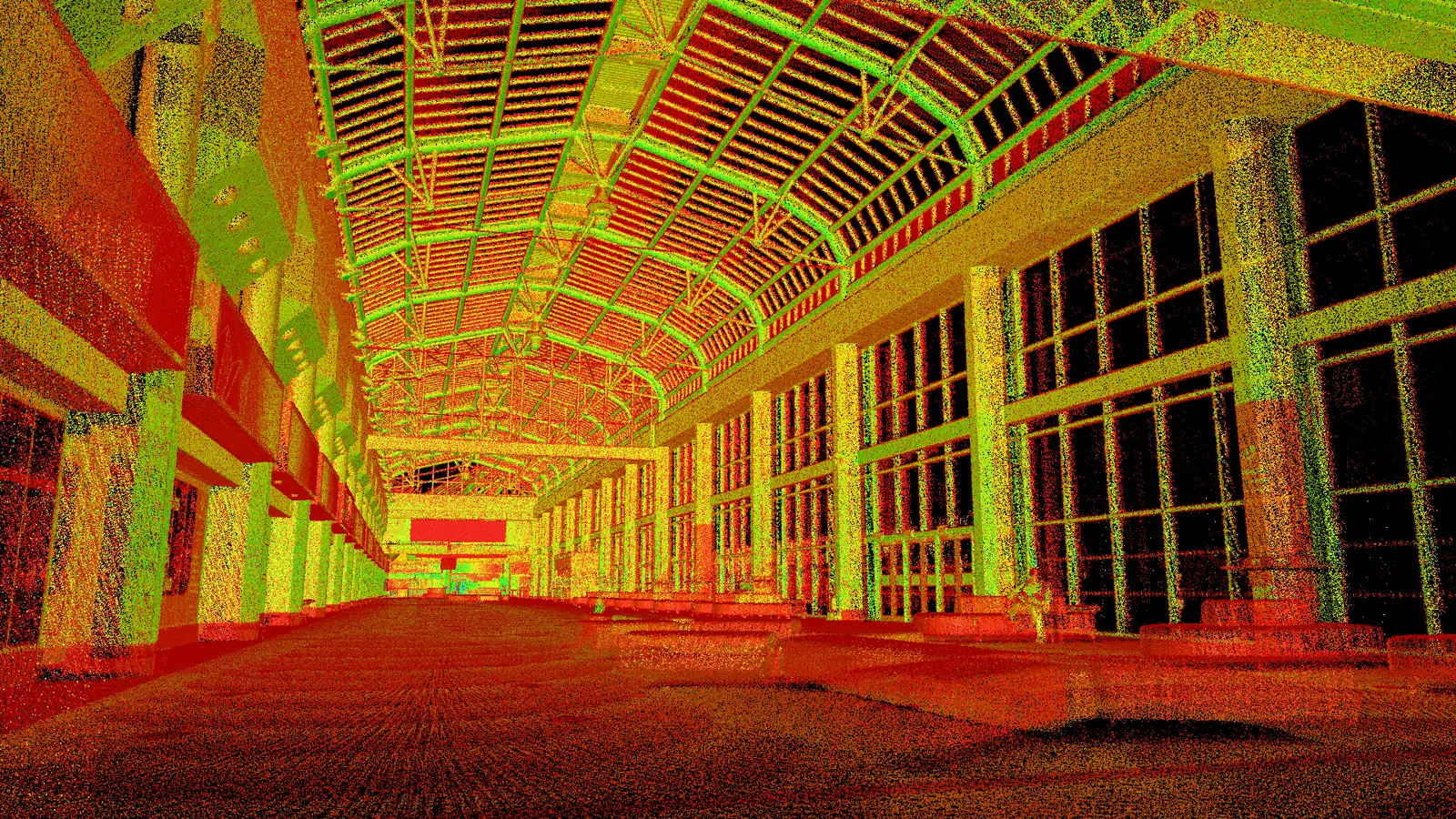 Scan to BIMPoint clouds ready for RevitSee the service →
 As-built surveyConstruction and infrastructure as builtSee the service →
 Change detection & monitoringWhat has moved since last timeSee the service →
 Topographic surveyGround, levels and featuresSee the service →
 Stockpile measurementVolumes you can checkSee the service →
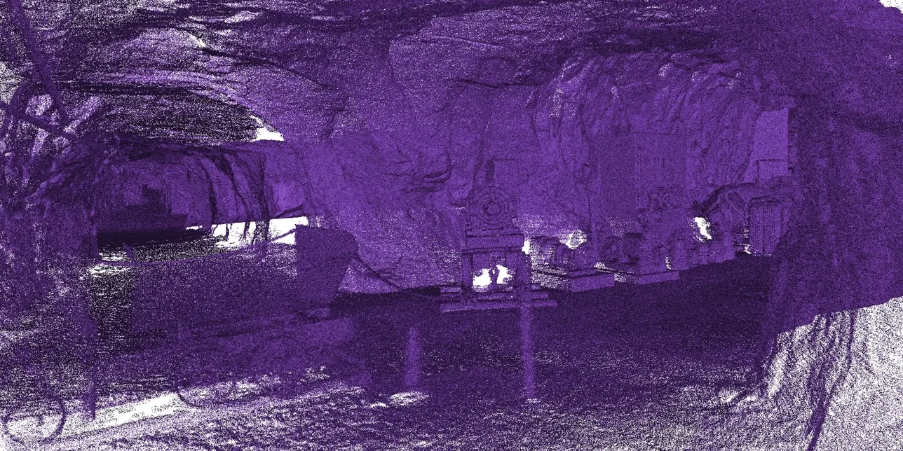
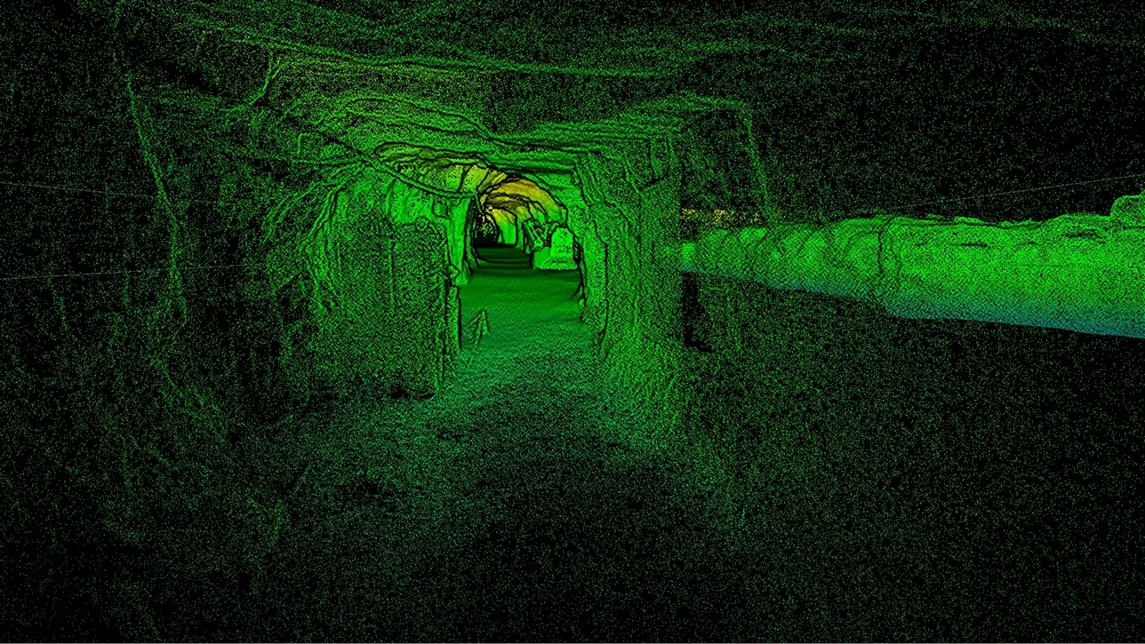 Underground mine mappingTunnels and voids with no GPSSee the service →
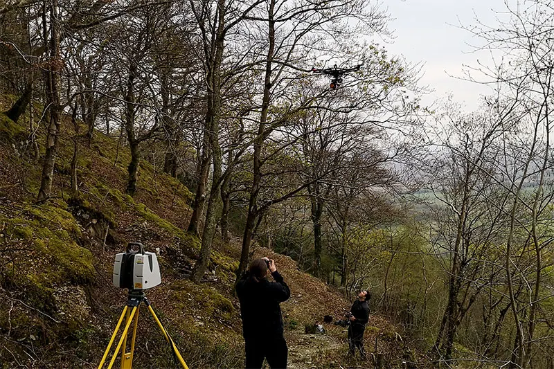
 Open pit mine mappingFaces, benches and volumesSee the service →
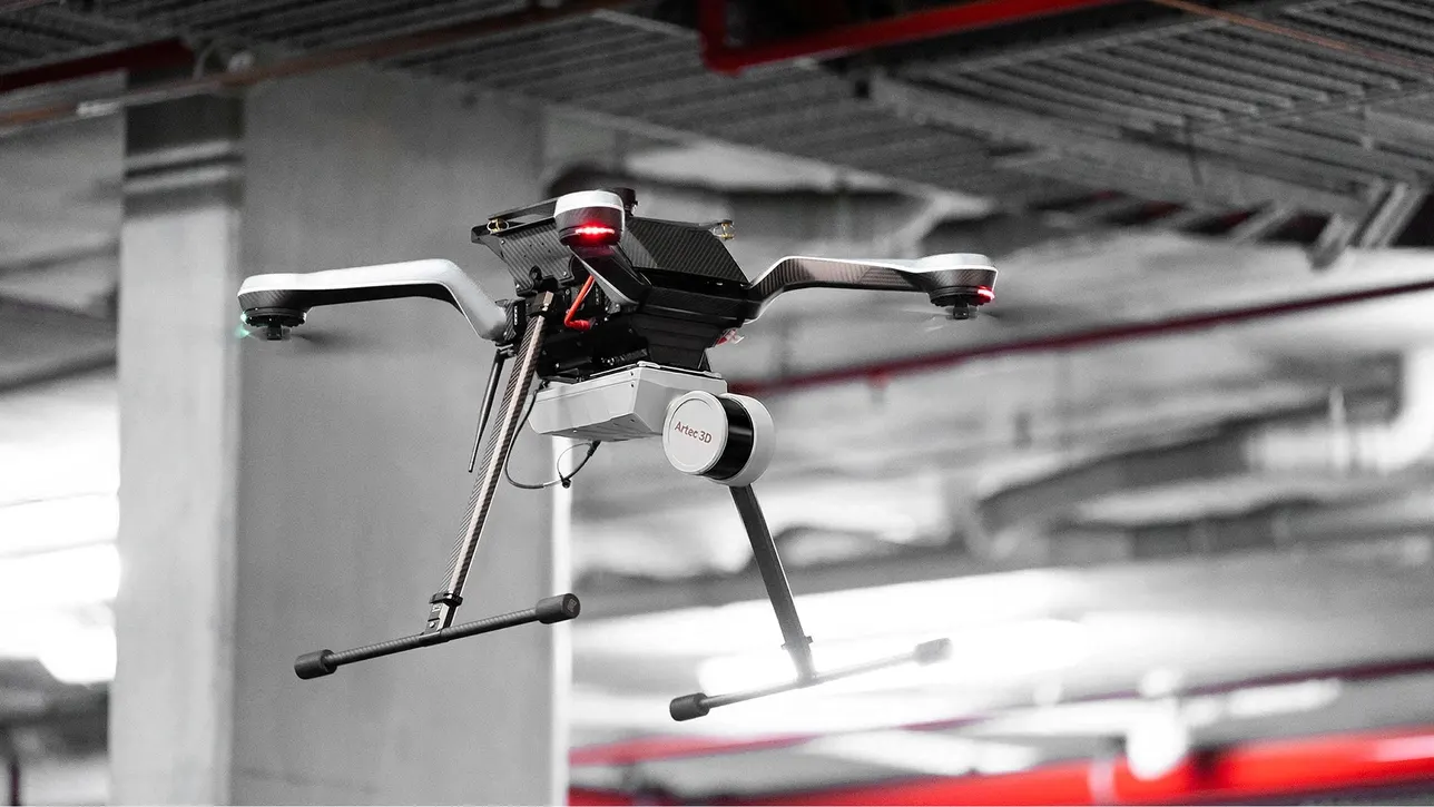
 Drone scanningAerial LiDAR and photogrammetrySee the service →
How a job runs
- 01
Scope the site
Location, size, access, accuracy and what the cloud is for. That decides tripod, mobile or both.
- 02
Capture
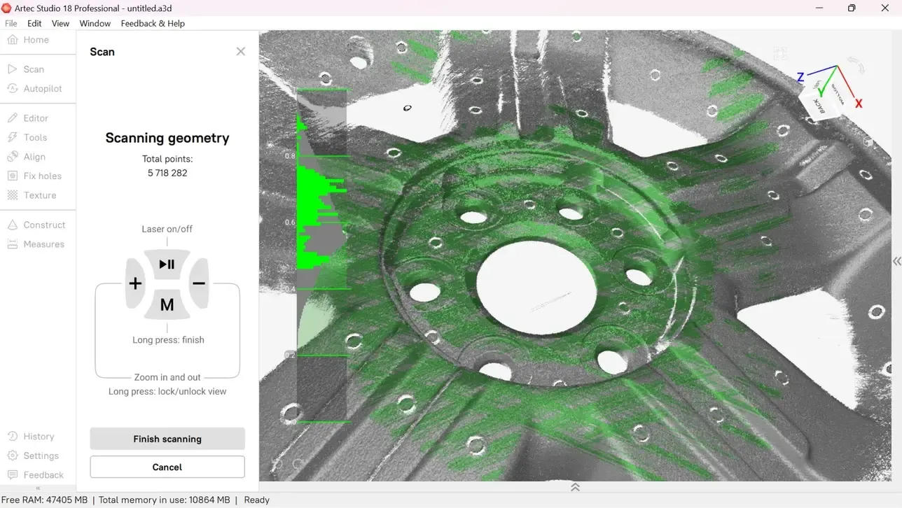
Tripod stations for accuracy over distance, SLAM at walking pace for coverage, drone or vehicle for scale.
- 03
Register
Scans joined into one cloud, checked and georeferenced against control or RTK where required.
- 04
Deliver
The full-resolution archive and lighter working sets, in the formats your software reads.
What you get back
In the formats your team already uses. Ask if you need something else.
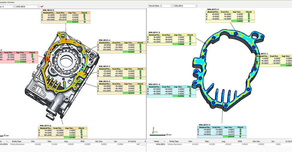
Registered point cloud
E57, LAS/LAZ, or RCP ready for Revit and Autodesk workflows.
Georeferencing
Tied to site control or RTK where the project needs real-world coordinates.
Working sets
Decimated clouds that open quickly, alongside the full-resolution archive.
Meshes and extractions
Meshes, sections, plans and elevations on request.
The kit we use
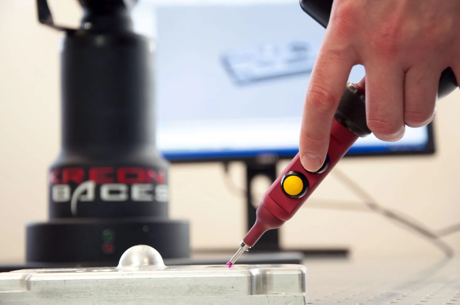
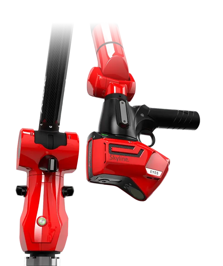
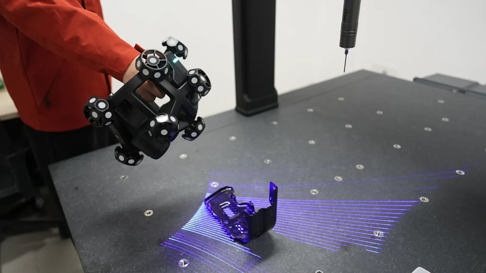
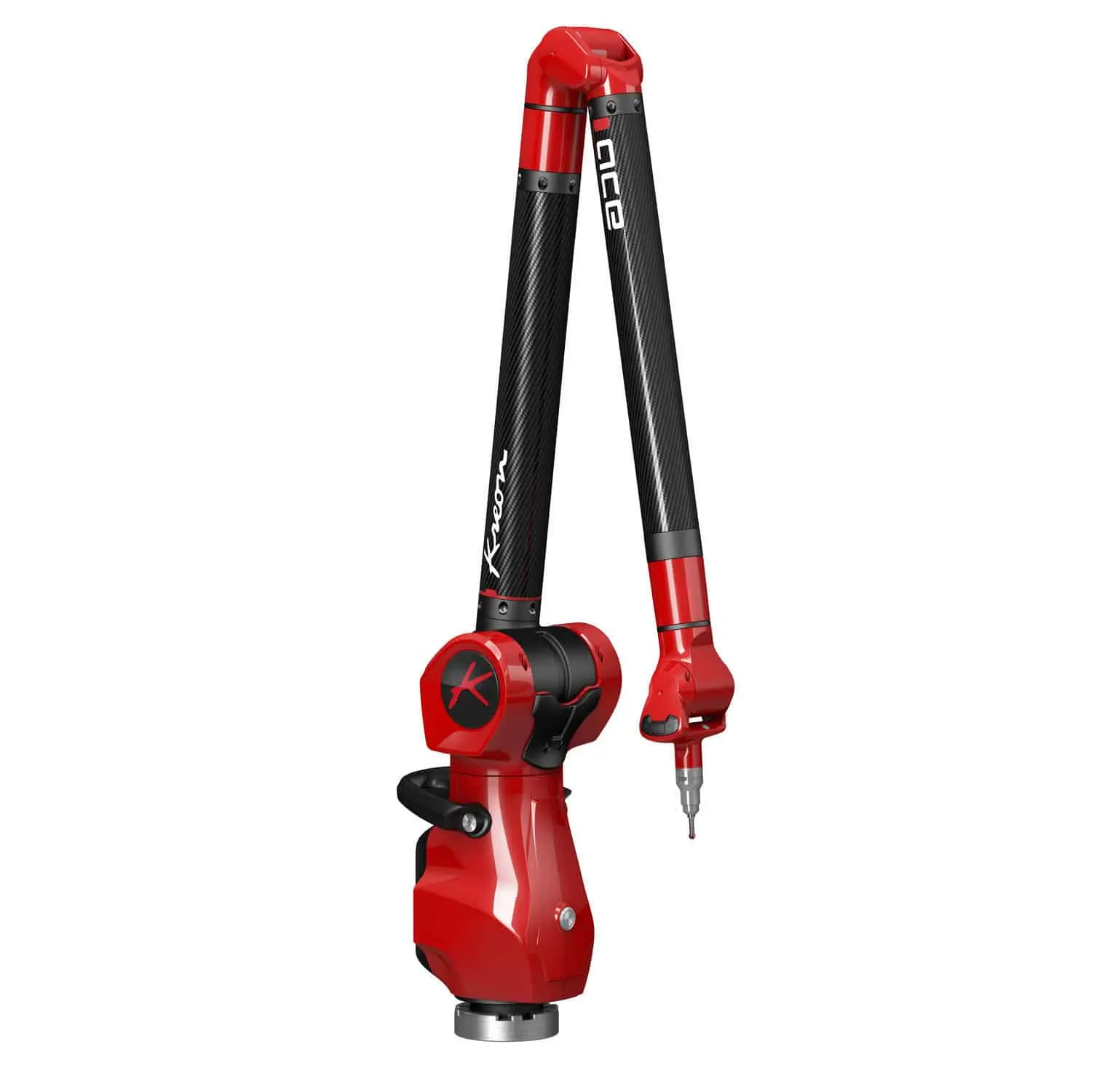
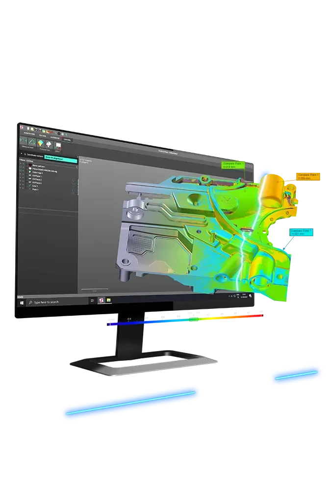
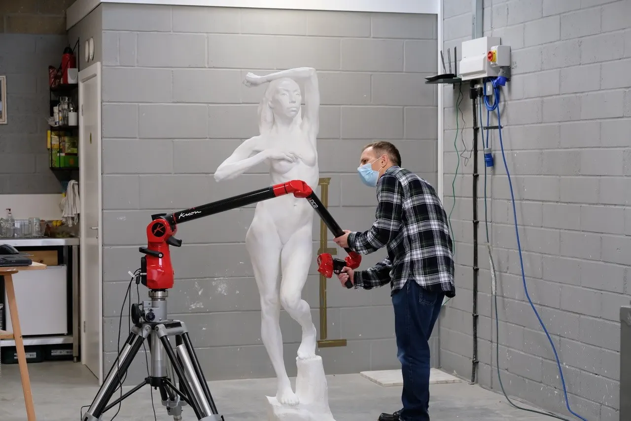
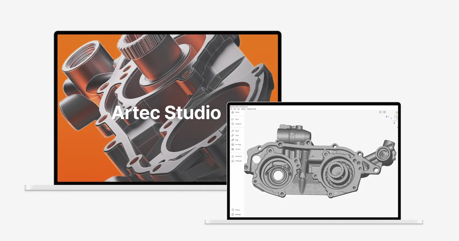
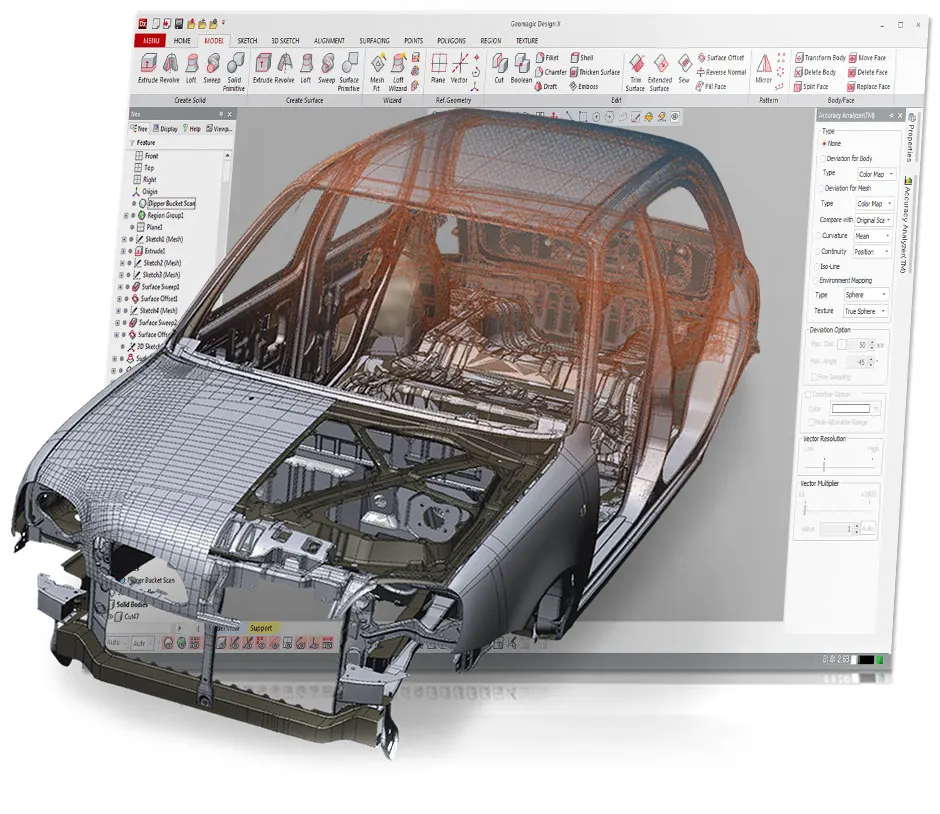
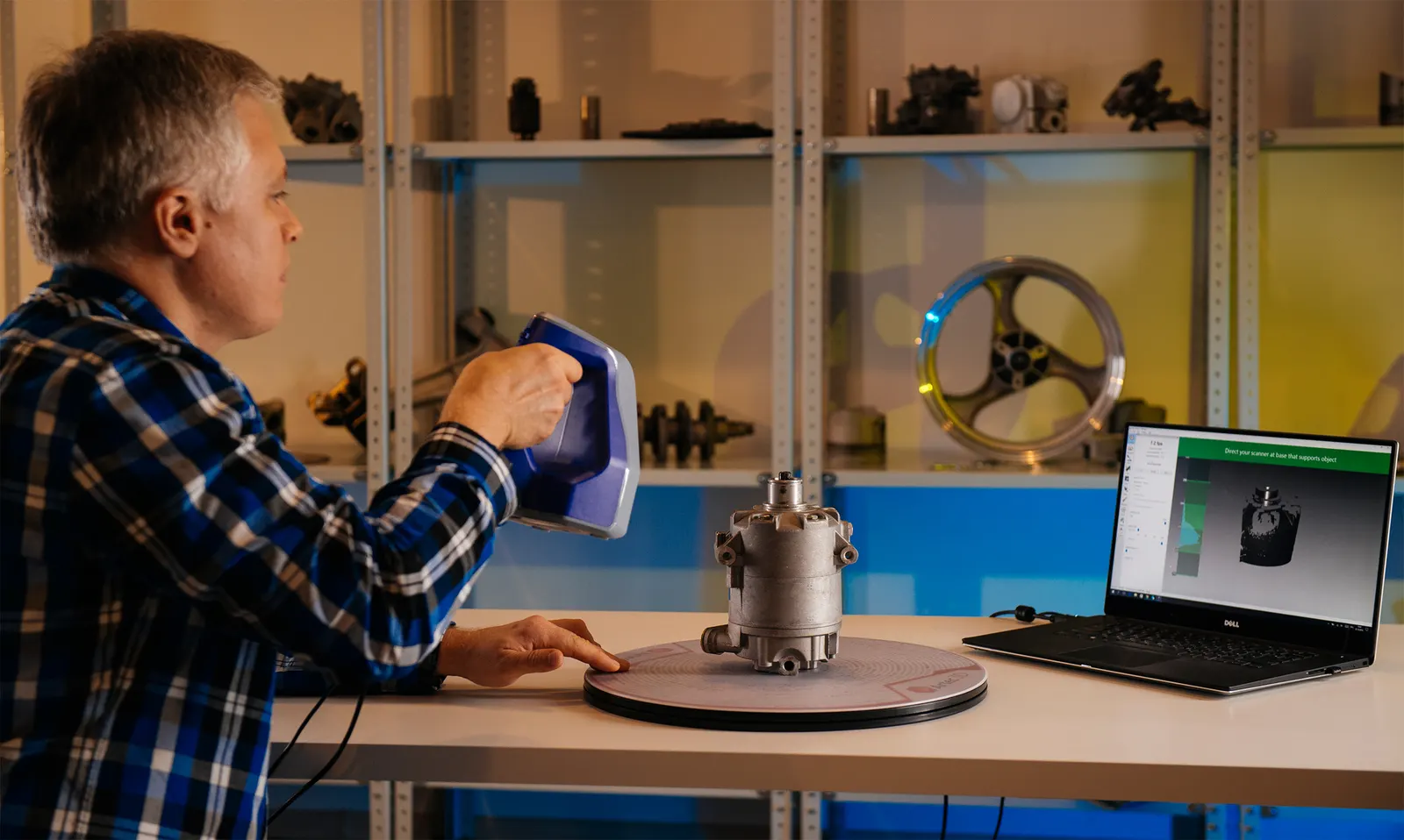
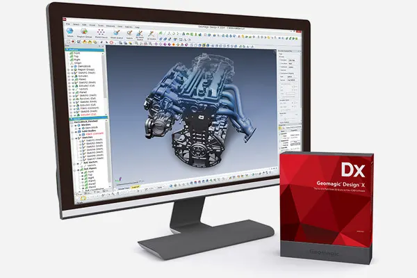
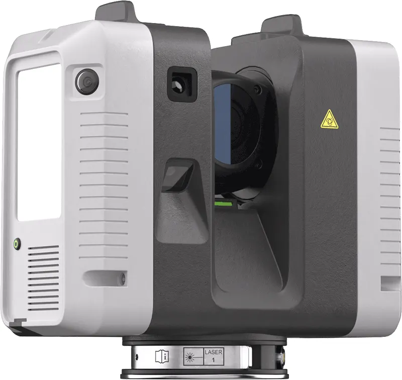
The same scanners, arms and software we sell, train on and support. Like what you see? You can buy or hire it too.
FAQ
If yours is not here, ring 0330 229 0175 and ask for the scanning team.
Not answered here?
Ask the engineers who run the machines. We answer the same working day.
Tripod or mobile?
Tripod scanning is more accurate over distance; mobile SLAM is far quicker over large or complicated sites. Many jobs use both: the Ray II for the control and the detail, the Jet for coverage.
Will you produce the BIM model?
We deliver the point cloud, ready for your modellers. If you have no modelling team, we will introduce you to one rather than improvise.
What do you need from us?
Where the site is, how big, how we get in and what the cloud is for. The last one matters most, because it decides how accurate the capture needs to be.
Tell us what needs scanning
A photo, a rough size and what you need out of it. We will come back with a fixed price and a date, and if scanning is not the right answer, we will say so.
Whitchurch SY13 4AL