.svg)
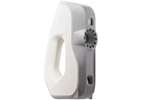
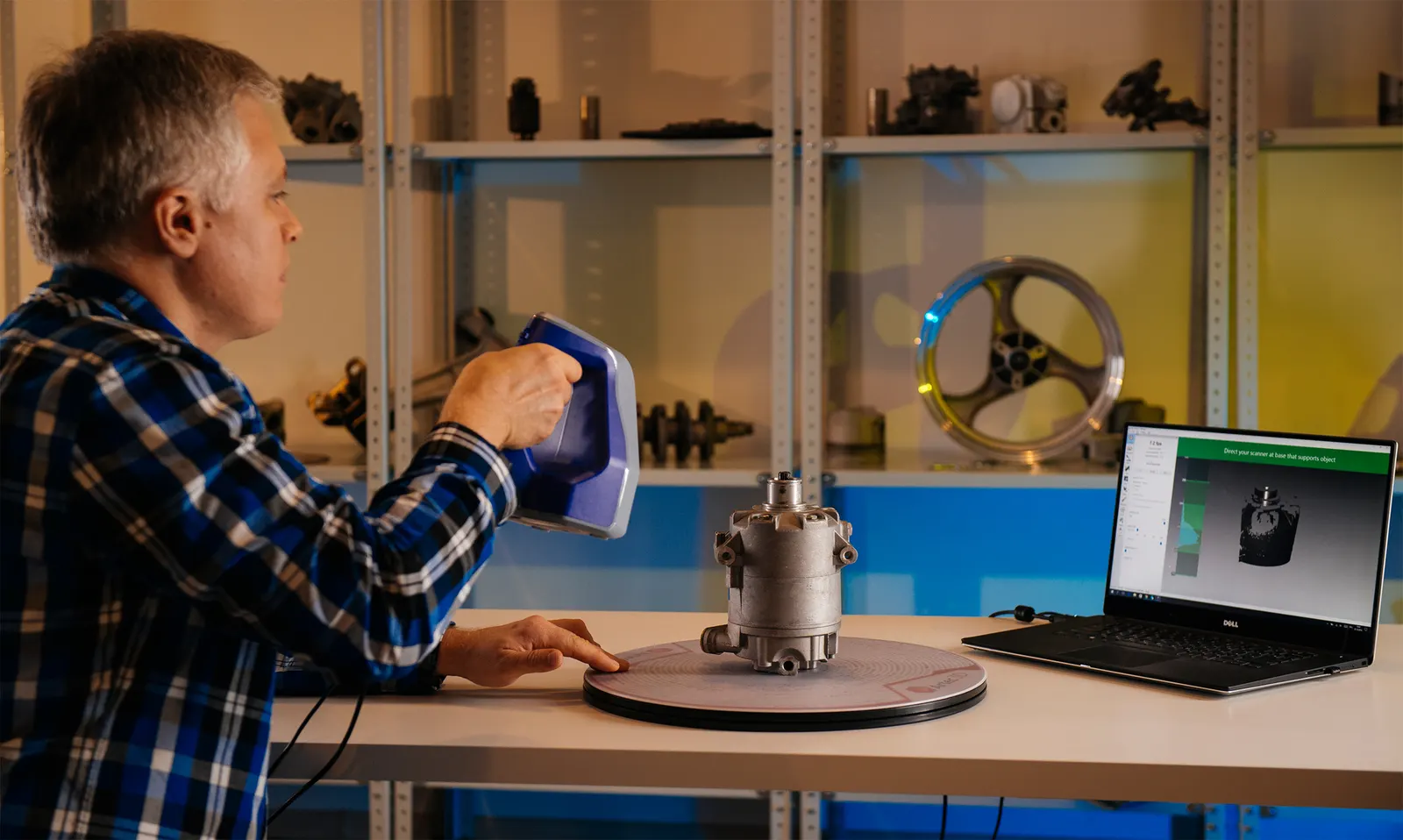

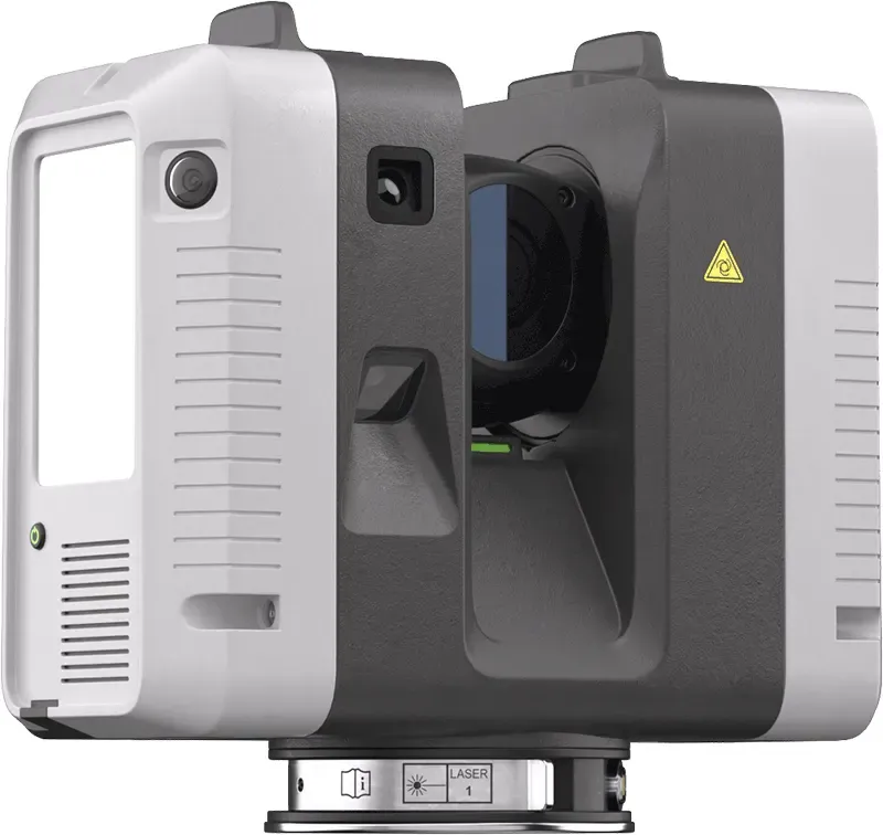
Artec Ray II
Whole buildings, to metrology grade.
Long-range LiDAR from a tripod, out to 130 metres, with 1.9 mm point accuracy at 10 m and a full dome in under two minutes.

Artec Ray II
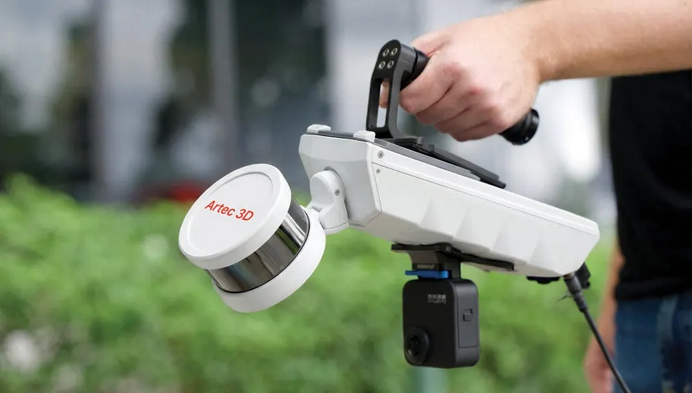
Long-range terrestrial LiDAR for buildings, plant rooms, vehicles and large objects. Metrology-grade point clouds from a tripod, up to 130 metres away.
 More from Artec 3D
- Point accuracy at 10 m
- 1.9 mm
- Range
- 130 m
- Full dome, highest resolution
- 1.7 min
Prices ex VAT. Pack contents as Artec publish them. We confirm the exact list when you order. Software and training can be added under Build a kit.
Delivery depends on current stock, so call us on 0330 229 0175 for a date before you order.
No scanner of your own yet? Send us the part or have us on site. We scan it with the same Ray II and send back the data you need.
- Registered point cloud
- Georeferencing
- Working sets
Course
Where would you like it run?
What’s included1 day, 16 topics
Ray II capture and LiDAR processing
- Introduction to Artec Ray II and terrestrial LiDAR scanning
- Planning a successful Ray II scanning project
- Scanner positioning and achieving good data coverage
- Using the Artec Remote app for scan capture
- Working with multiple scan positions
- Importing Ray II datasets into Artec Studio
- Cleaning and preparing point cloud data
- Aligning multiple Ray II scans
- Global Registration of point cloud scans
- Geometry and target-based registration methods
- Creating and optimising 3D models from LiDAR data
- Combining Ray II data with higher-resolution Artec scanner data
- Measurements and basic analysis
- Exporting point cloud data for BIM and CAD workflows, including RCP files for Autodesk Revit
- Exporting point clouds and models in other common formats
- Practical Ray II capture and processing exercise
Attendees should leave able to take a typical terrestrial LiDAR project through the complete plan → capture → import → align → register → clean → process → export workflow using Artec Ray II and Artec Studio, including preparing point cloud data for BIM, Revit, CAD and other downstream applications.
Artec Studio LiDAR Essentials, 1 day£1,000
Includes up to 3 people, ex VAT, in Cheshire. Pay now and we agree the dates with you.
- Accredited calibration certificate with every scanner
- IP54 dust and water protection
- Artec Ambassador and Gold Certified Specialist
- UK demonstrations, training and technical support
Survey-grade capture without survey software
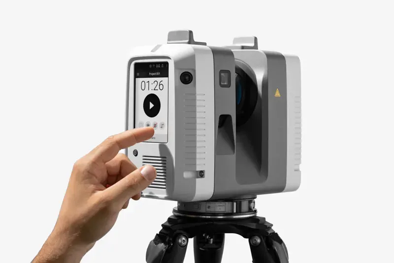
Onboard control
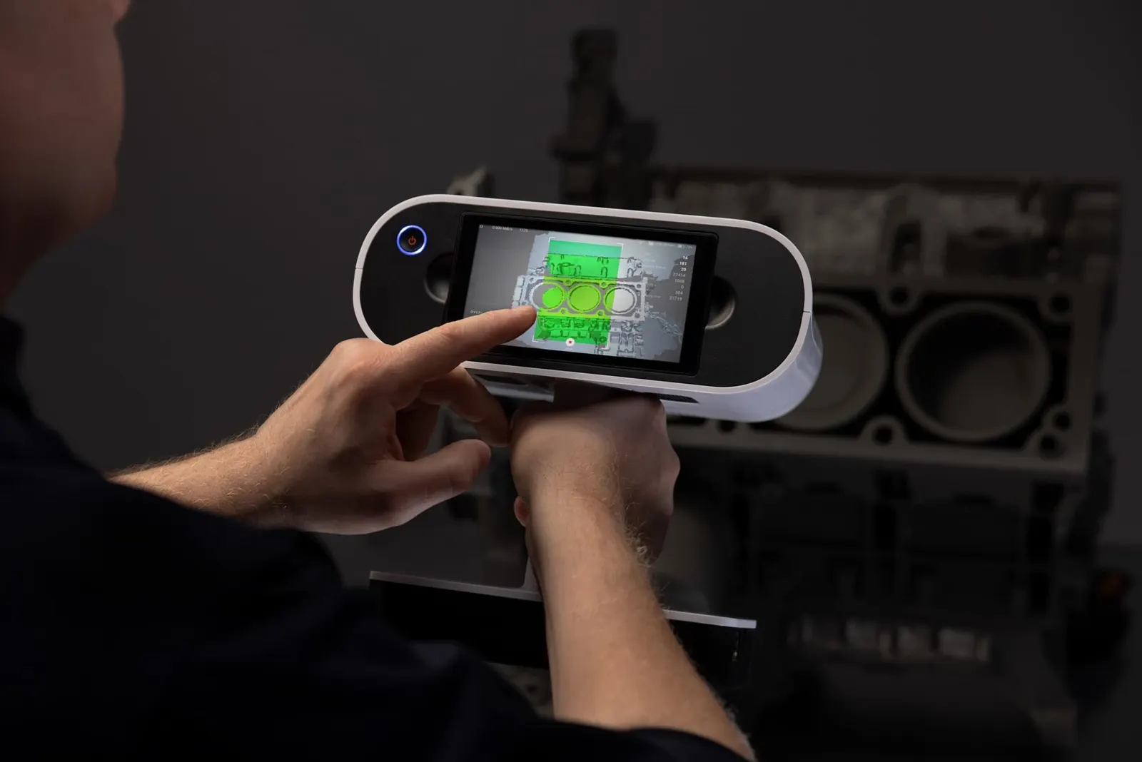
Basic functions are on the scanner itself, so scanning is as simple as pressing a button, with no computer needed.
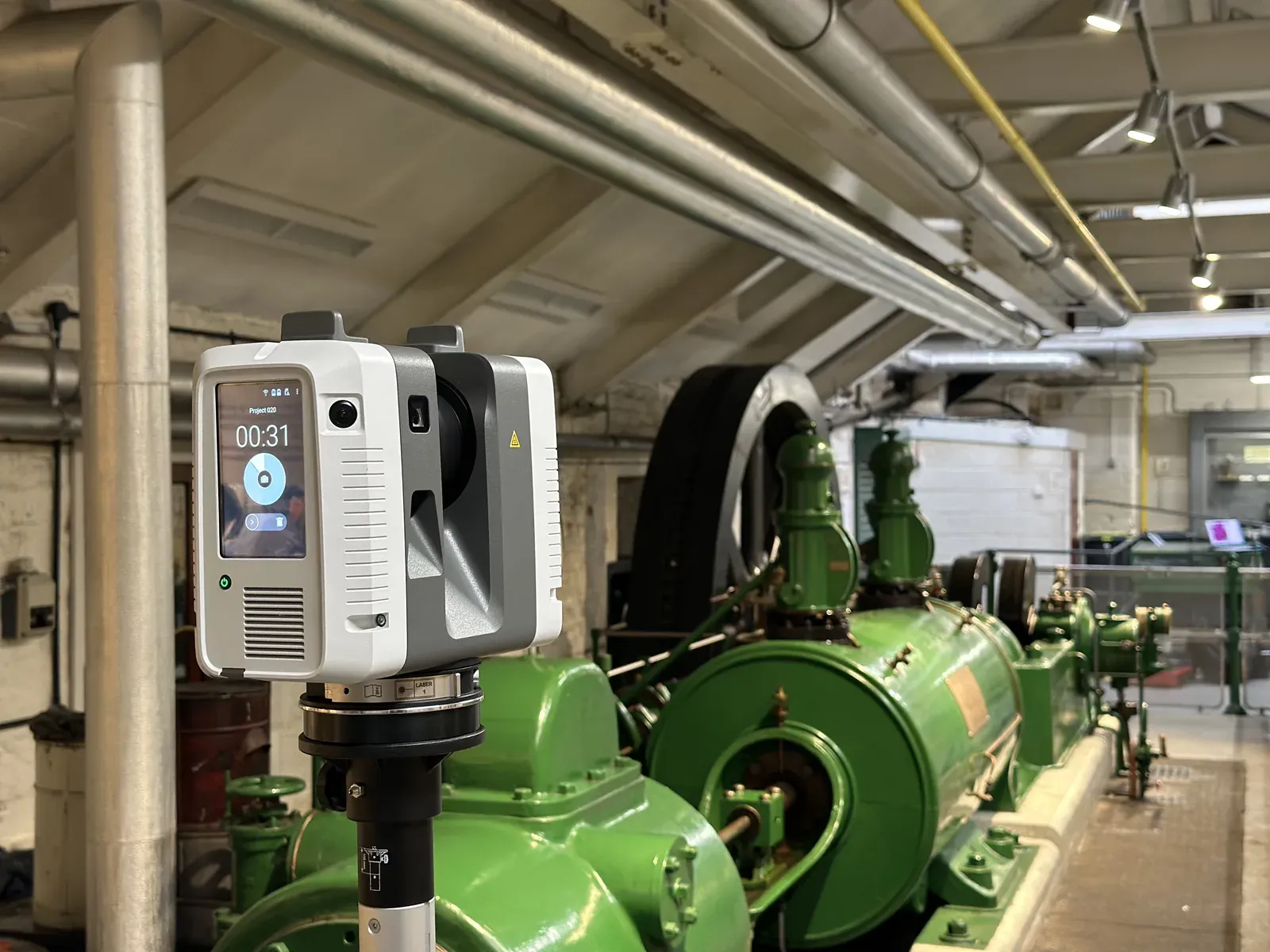
Registers as it goes
The Visual Inertial System tracks the scanner between stations and pre-aligns each position automatically.
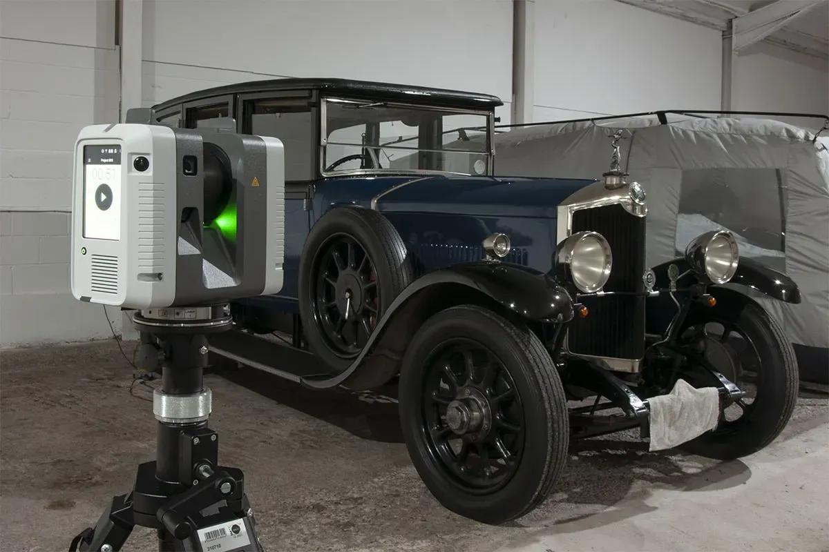
Removes moving objects
An optional double scan spots people or vehicles moving through the scene and deletes them for you.
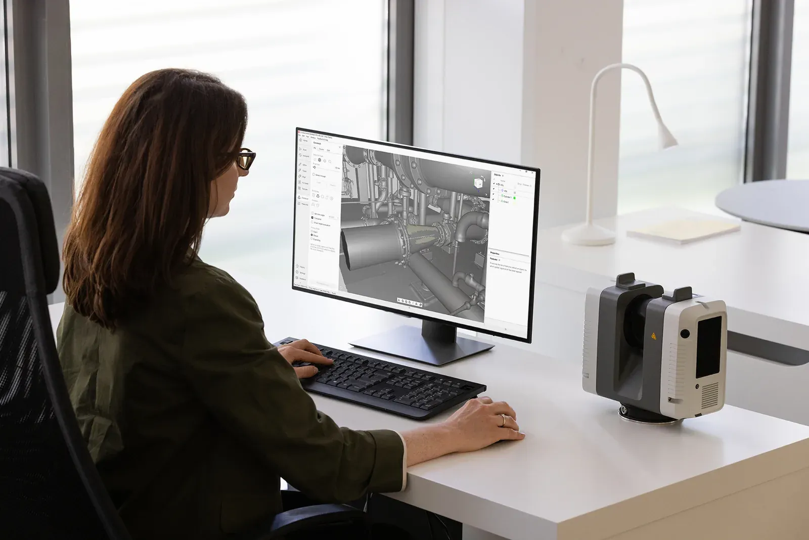
Straight into Artec Studio
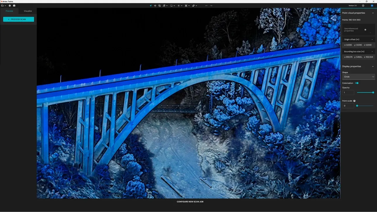
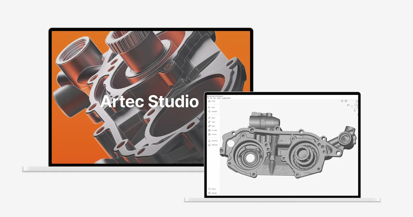
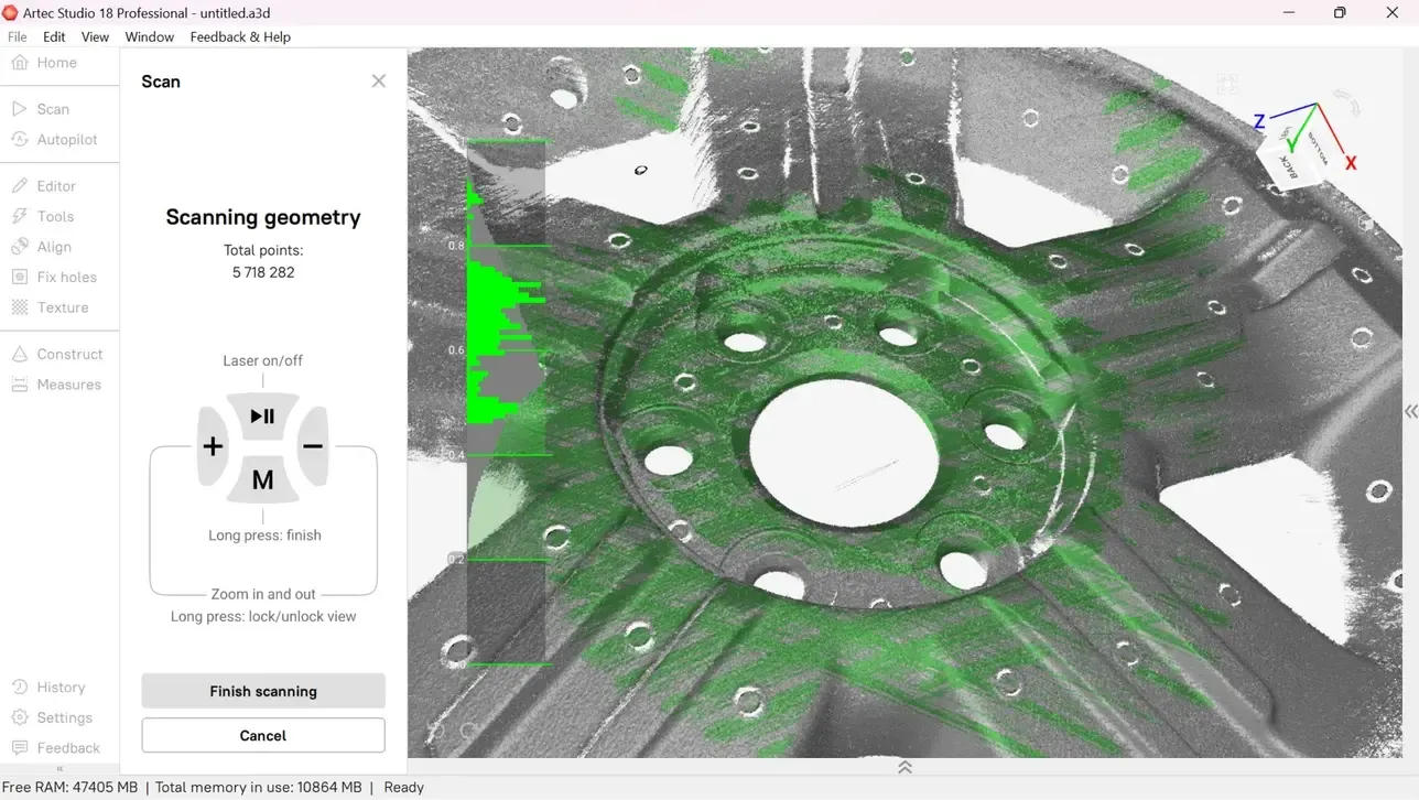
Register scans and build triangulated meshes in one piece of software, at a fraction of the cost of survey packages.
Specification
Artec 3D published specification for the Ray II. Accuracy figures at 68% confidence (JCGM 100:2008).
- Made by
- Artec 3D
- Type
- Terrestrial LiDAR, tripod mounted
- Best for
- Large objects and whole scenes
- Protection
- IP54
- Warranty
- 1 year
- Software
- Artec Studio, required, licensed separately
| 3D point accuracy | 1.9 mm at 10 m, 2.9 mm at 20 m, 5.3 mm at 40 m |
|---|---|
| Angular accuracy | 18″, 0.87 mm at 10 m |
| Range accuracy | 1.0 mm + 10 ppm |
| Range noise | 0.4 mm at 10 m, 0.5 mm at 20 m, single shot at 89% albedo |
| Resolution | 3, 6 or 12 mm at 10 m, user selectable |
| Range | 0.5 – 130 m |
| Field of view | 360° horizontal, 300° vertical |
| Capture rate | Up to 2 million points a second |
| Scan time at 10 m, no colour | 1 min 42 s at 3 mm, 51 s at 6 mm, 26 s at 12 mm |
| Scan time at 10 m, with colour | 2 min 42 s at 3 mm, 1 min 51 s at 6 mm, 1 min 26 s at 12 mm |
| Camera | 36 MP 3-camera system, 432 MPx raw data for a calibrated 360° × 300° spherical image |
| HDR | Automatic, 5 brackets |
| On the scanner | Touchscreen, full-colour WVGA display, 480 × 800 pixels |
| Remote control | Artec Remote app for iOS or Android: scan, settings and launch |
| Real-time registration | Automatic alignment between setups by visual inertial system |
| Moving objects | Removed automatically using Double Scan |
|---|---|
| Field check | Check & Adjust, targetless check of angular parameters |
| Tilt sensor | IMU based, 18″, upright or upside down within ±10° |
| Geolocation | Altimeter, compass, GNSS |
| Wireless | Integrated WLAN, 802.11 b/g/n |
| Data storage | 256 GB exchangeable USB 3.0 flash drive |
| Scanning technology | Time of flight with Waveform Digitising (WFD) |
| Laser | Class 1 to IEC 60825-1:2014, 1550 nm, invisible |
| Mounting | Quick mount on a 5/8″ stub, carbon tripod or tripod adapter |
| Batteries | 2 internal Li-ion, typically up to 4 hours, 340 g each |
| Mains power | AC adapter |
| Operating temperature | −5 to +40 °C, down to −10 °C if powered on at −5 °C or above |
| Storage temperature | −40 to +70 °C |
| Dust and water | IP54 (IEC 60529) |
| Size and weight | 120 × 240 × 230 mm, 5.35 kg without batteries |
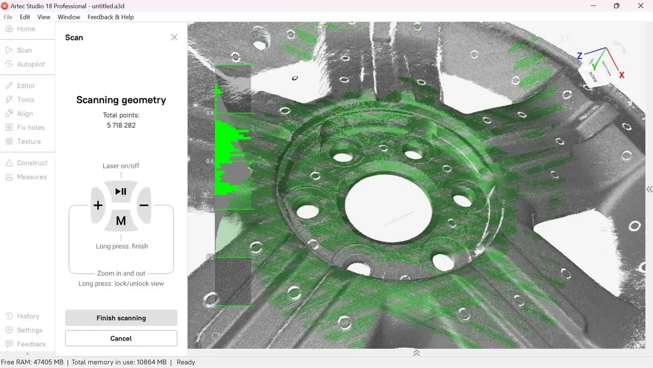
Learn Artec Studio properly
One day on planning a survey, capturing from several positions, registering the point clouds then exporting for BIM, Revit and CAD.
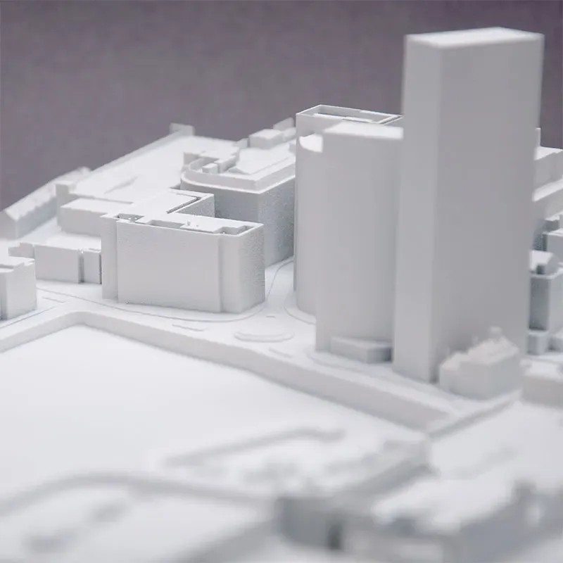
Artec Ray II education package
For schools, colleges and universities: the Ray II with a lifetime Artec Studio licence and 2 years of upgrades. £49,961.10 ex VAT.
See education packagesBuying Artec in the UK
Artec Ambassador and Gold Certified Specialist
Artec 3D recognise us for advanced product knowledge, extensive practical experience and consistently high standards of customer support. That means we can tell you which scanner is right for your work, show it to you properly, train your team and keep supporting you once it is yours. Ray II surveys pair with the Leo. We train on both.
On your own parts, at our site in Cheshire or at yours.
Artec Studio courses from one day, run by the engineers who support you afterwards. See the courses
Ongoing technical support from a UK team, not a ticket queue abroad.
Artec Ray II questions
Do I need a computer on site?
No. The basics are on the scanner's own touchscreen. The Artec Remote app runs it from a phone or tablet. Scans are stored on a 256 GB exchangeable drive and processed back at the office in Artec Studio.
Does Artec Studio cost extra?
Yes. Every Ray II needs Artec Studio to register and process its scans. It is licensed separately from the scanner. Artec Studio registers the stations and builds meshes in one piece of software, at a fraction of the cost of traditional survey packages. The premium pack comes with a five-year licence.
How long does a scan take?
A full dome at 10 m takes 1 min 42 s at 3 mm resolution, 51 s at 6 mm and 26 s at 12 mm. Adding HDR colour brings those to 2 min 42 s, 1 min 51 s and 1 min 26 s. A vehicle usually takes minutes. An aircraft or a building takes a few hours.
How accurate is it at distance?
Artec publish 3D point accuracy of 1.9 mm at 10 m, 2.9 mm at 20 m and 5.3 mm at 40 m, with angular accuracy of 18 arcseconds. Every scanner comes with calibration certificates. The Check & Adjust routine lets you confirm it in the field.
Should I choose the Ray II or the Artec Jet?
The Ray II is a terrestrial scanner: it captures very detailed, accurate point clouds from fixed tripod positions. The Jet maps on the move, which is faster for whole sites and GPS-denied spaces, while the Ray II gives the highest accuracy in focused areas. Many teams use the Jet for coverage and the Ray II where accuracy matters most.
Can I try one before buying?
Yes. We bring a Ray II to your site and scan something you actually need captured. You can then see the point cloud with the colour before you commit. Demonstrations are also available at our site in Cheshire.
What support do I get in the UK?
Europac 3D is an Artec Gold Certified Specialist and Ambassador, based in Cheshire. We deliver the scanner, train your team on planning, capture and registration, then give technical help by phone or email. Warranty claims are handled through us.