.svg)
IndustriesCivil infrastructure
3D scanning for civil infrastructure
Bridges, tunnels, rail and highways. Condition capture and monitoring where access time is precious: mobile SLAM to use short possessions well, tripod LiDAR where the structure demands it, plus handheld detail for defects. UK service and support from an Artec Gold Certified partner.
- Highways authorities and contractors
- Rail infrastructure and track maintenance
- Bridge and structures engineers
- Tunnel and culvert owners
- Water and flood defence
- Asset management consultancies
- ±5 mm
- Artec Jet change detection
- 75% faster
- Rail defect inspection at Voestalpine, per Artec
- 60 km/h
- Jet vehicle-mounted mapping speed
The constraints
Short possessions, hard access, long asset lives
- 01
Access windows are short
A possession or a lane closure is measured in hours. Tripod time per station adds up; mobile capture at walking or driving pace does not.
- 02
Scaffold and rope access cost
Artec say remote condition capture reduces the need for scaffolding, rope access and confined space entry.
- 03
A few prisms miss the movement
Monitoring targets tells you about a few points. Repeat scanning compares the whole surface, so movement shows wherever it happens.
- 04
Dark, GPS-denied structures
Tunnels and culverts have no satellite signal or light. LiDAR brings its own and SLAM needs no GPS.
- 05
Records that outlive the team
A baseline cloud tied to stable control is a record the next inspection can be compared against, years later.
Where scanning pays for itself
Condition, clearance and change
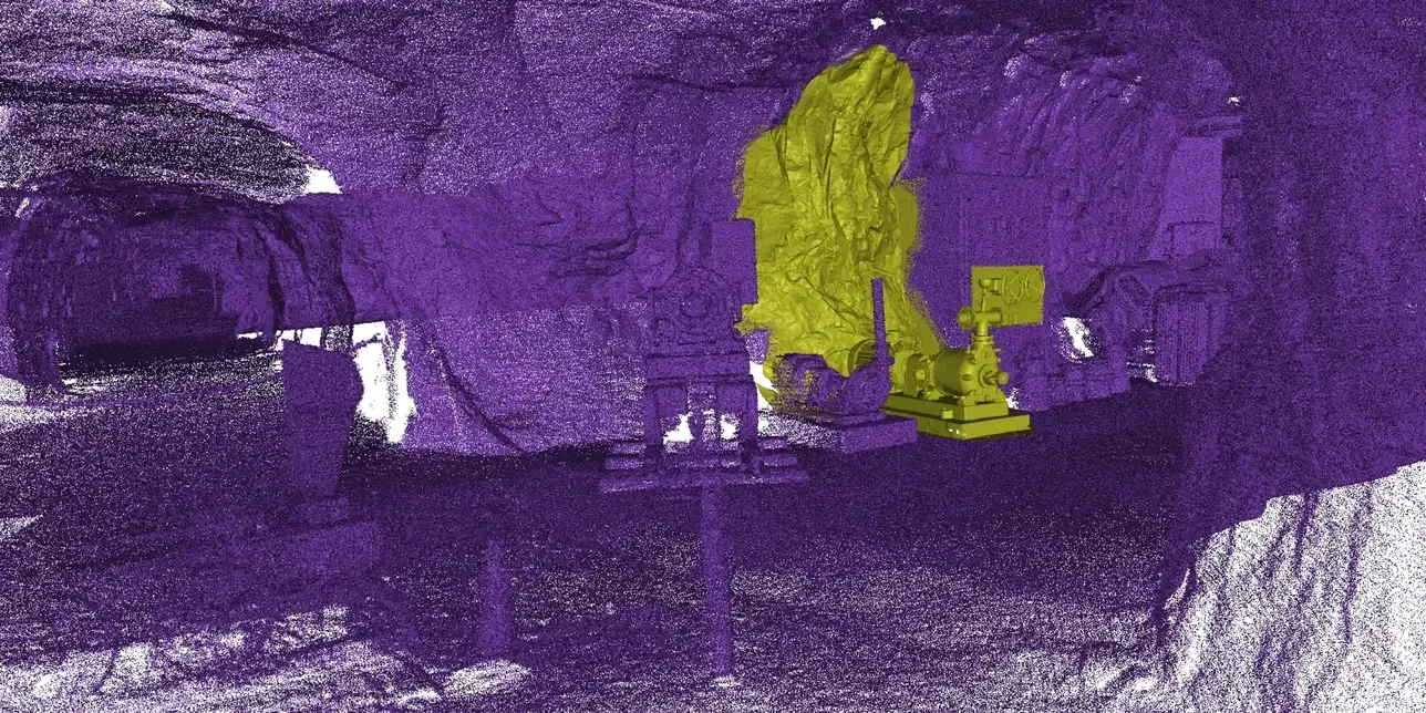
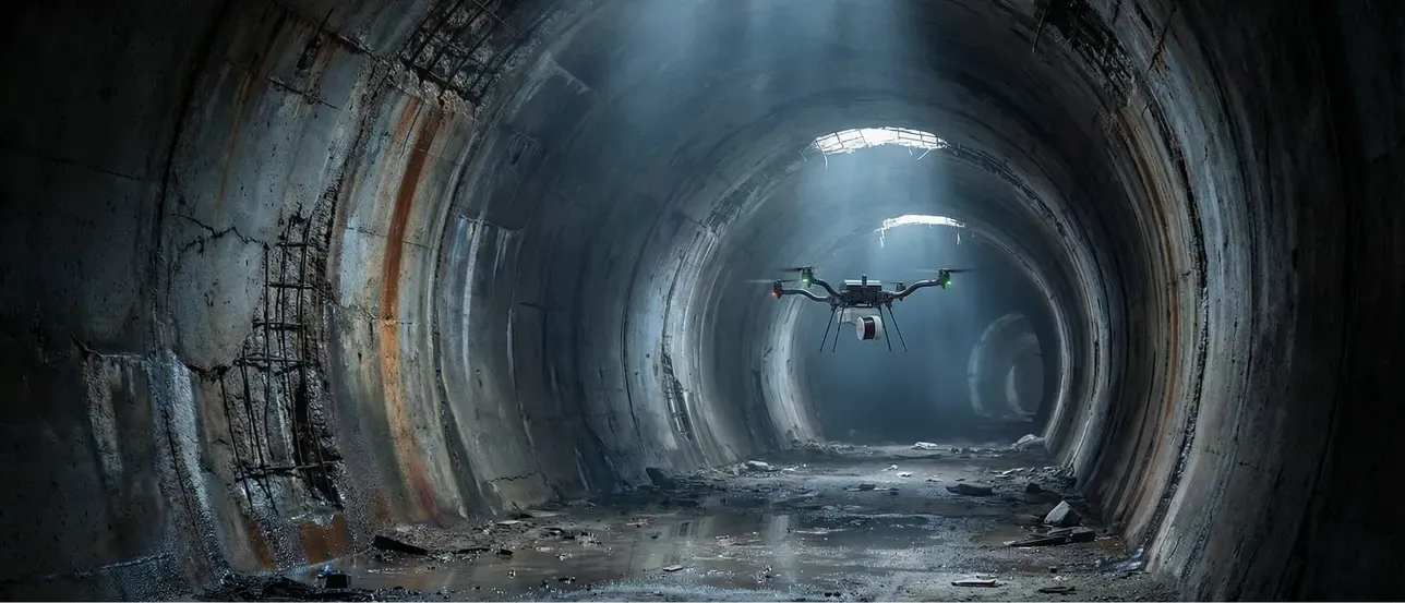 Tunnels and culvertsMapped on foot, by vehicle or by drone with no GPS, as a registered cloud tied to control at the portals.Read more
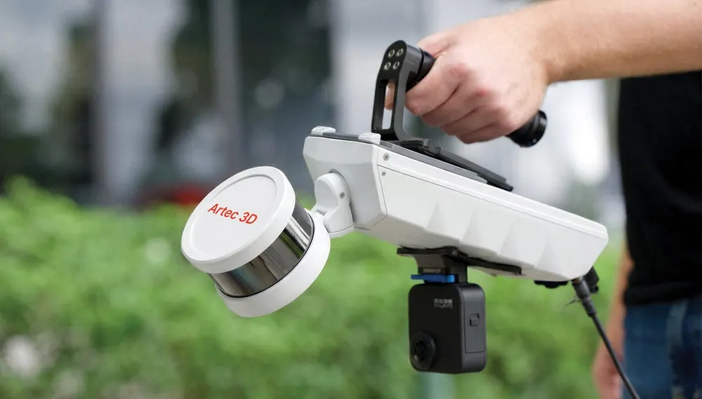
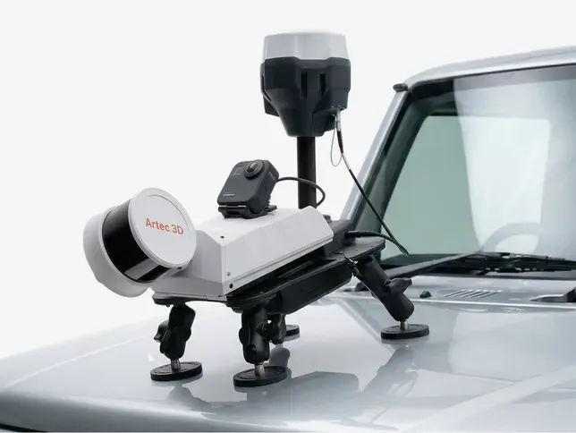 Possessions used wellThe Jet starts and stops on the move. Its dataset is previewed on site, so a short window is not lost to a missing section.Read more
 Defects in detailA handheld Leo captures spalling, cracks and repairs at close range. It merges into the LiDAR survey of the whole structure.Read more
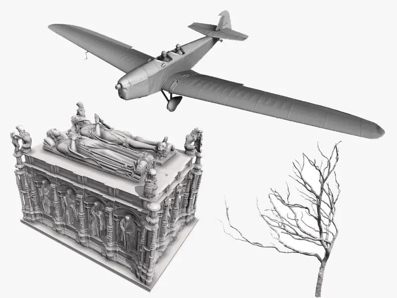 Masonry and historic structuresBridges, arches and retaining walls recorded in full before works, so the as-was condition is never in dispute.Read more
Structure inspection
A baseline, then the difference
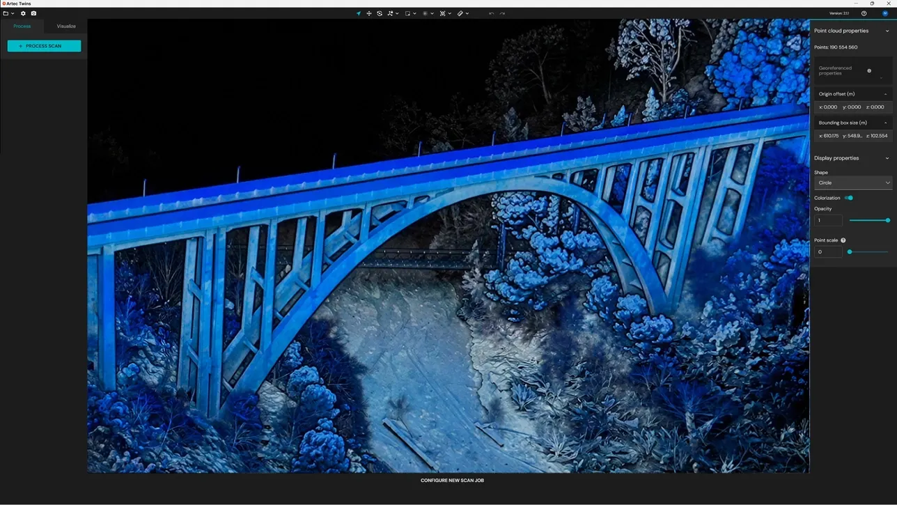
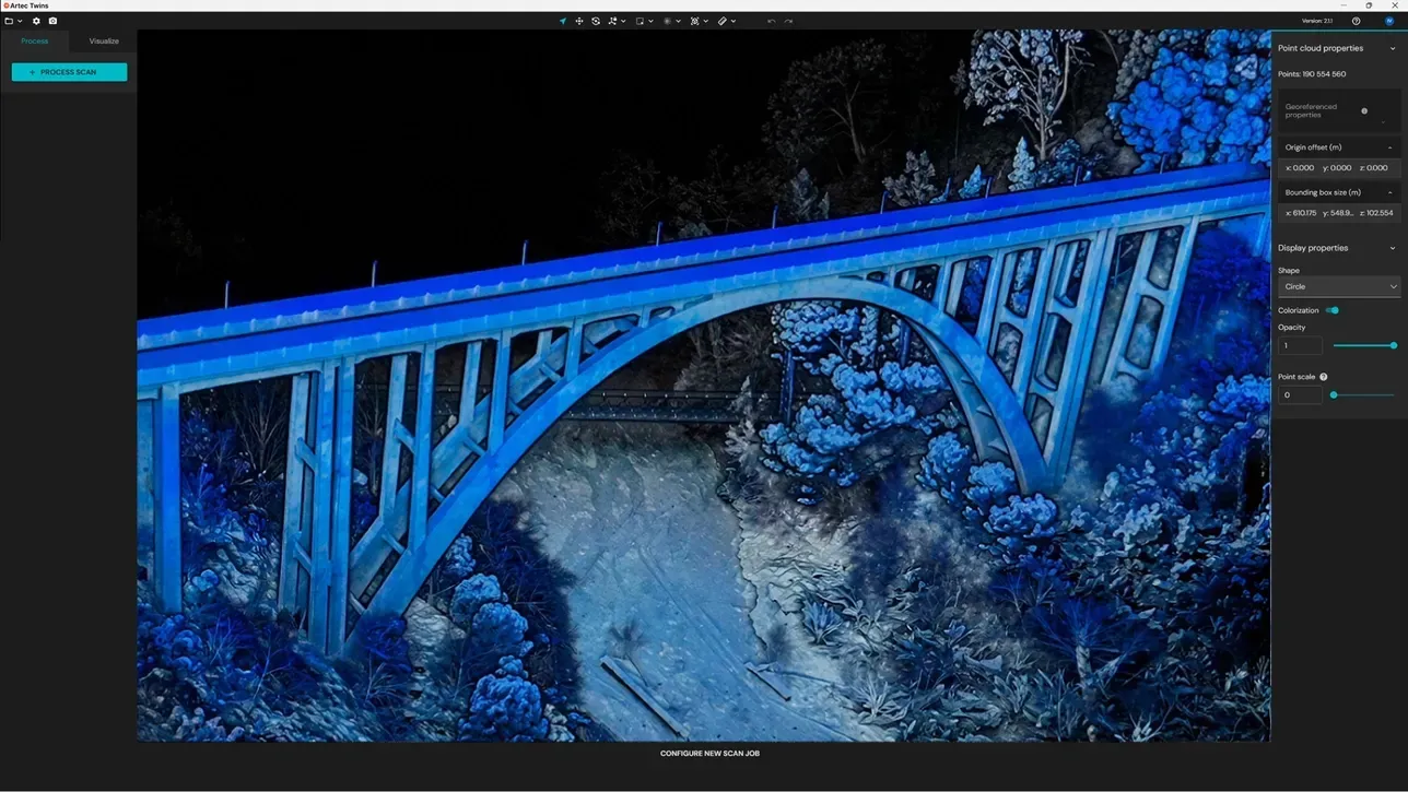
The answer an asset owner wants is what has moved since last time. Every visit is tied to the same control, so the clouds line up and the comparison means something.
- 1
Set stable control
Control or RTK in the asset owner’s coordinate system, reused on every visit.
- 2
Capture the baseline
Ray II stations at bearings, soffits and critical structure; Jet on foot or by vehicle along the rest of the asset.
- 3
Add the detail
Leo scans of known defects, merged into the same cloud at the right scale.
- 4
Repeat on schedule
Same stations or routes, as often as the risk demands: monthly next to construction, a few times a year on a slow-moving slope.
- 5
Compare and report
Difference maps over the whole surface, sections at fixed stations, plus the values that cross your thresholds.
Recommended products
Sold, installed and supported from Cheshire, with a demonstration before you buy.
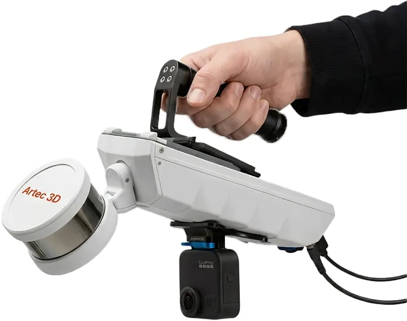
£32,340ex VAT
Find out more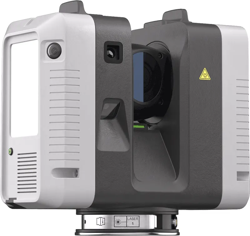
£49,938ex VAT
Find out more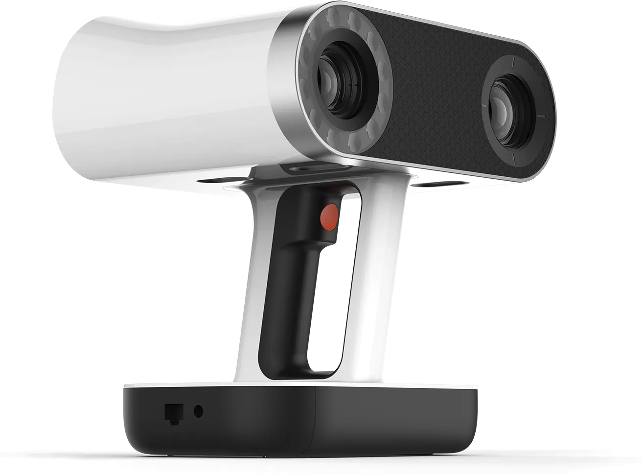
£29,232ex VAT
Find out moreQuestions we get asked
Something else? Ring 0330 229 0175 and an engineer will answer it.
Not answered here?
Ask the engineers who run the machines. We answer the same working day.
How often should a structure be scanned?
As often as the risk demands. A construction neighbour might need monthly captures; a slow-moving slope, a few a year. We suggest a schedule with the quote.
Can you compare with an older survey?
Often, if it has known coordinates. Otherwise our first visit becomes the baseline.
Can the Jet map from a vehicle?
Yes. Artec give vehicle-mounted mapping at up to 60 km/h for roads and tunnels, plus flying at up to 2 m/s underground.
Does it work in an unlit tunnel?
Yes. LiDAR sends out its own laser pulses, so it needs no ambient light. SLAM positions the scanner without satellites.
Can you measure what was built against the design?
Yes. Send the design model in IFC or your native format and we report the deviations that matter, with the as-built cloud.
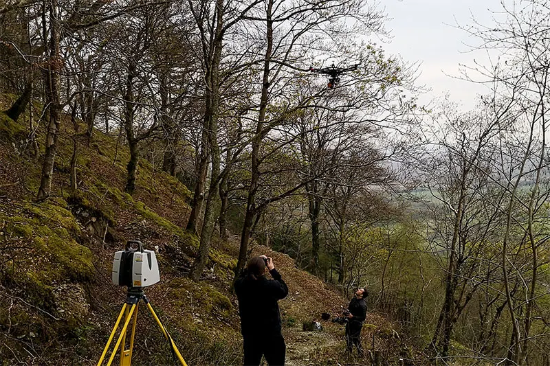
Tell us the asset and the access window
We will plan the capture around the possession, not the other way round. We will say plainly what accuracy the method can give you.