.svg)
ApplicationsScan to BIM
Scan to BIM and as-built capture
Retrofit starts with what is actually there, not what the old drawings say. We capture buildings and plant as registered point clouds, ready for your modelling team to build BIM against.
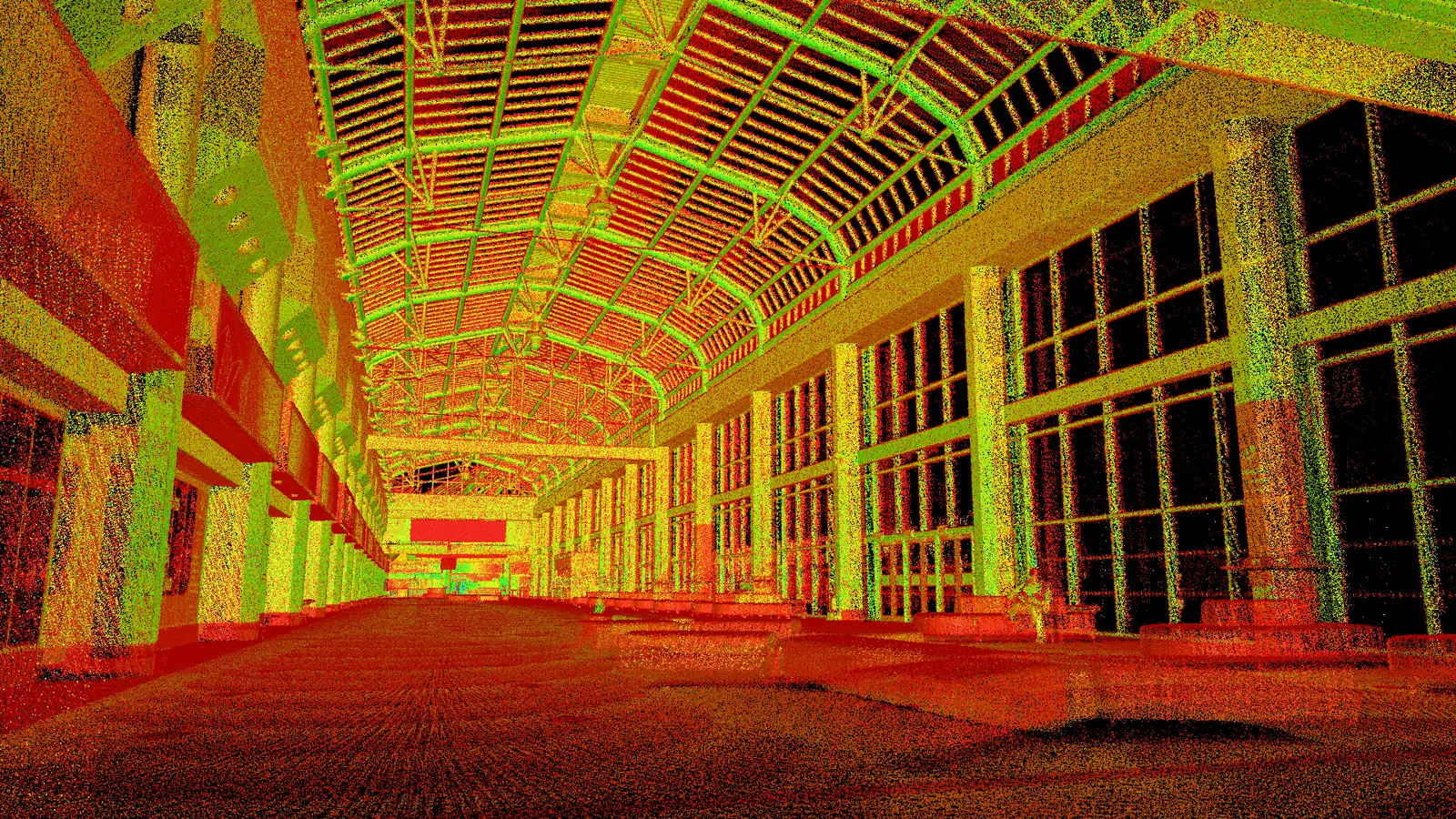
What it is
Buildings and plant as registered point clouds, ready for Revit.
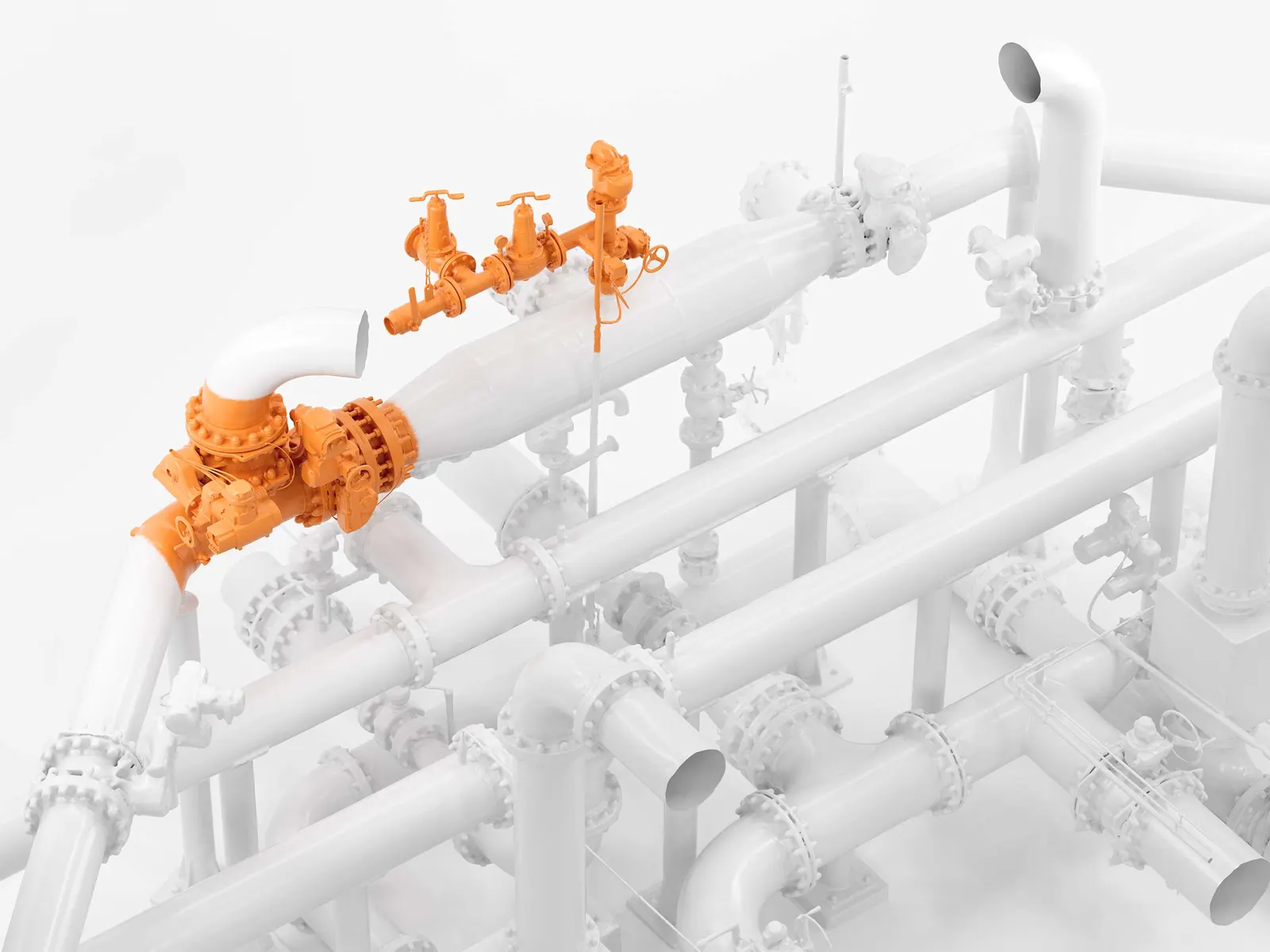
Every retrofit meets the same problem: the building has been altered for decades and the record has not. Scan to BIM replaces that guesswork with a measured record of what is there today, including plant rooms, risers and above-ceiling voids.
We scope this as reality capture. The deliverable is the registered point cloud, georeferenced where the project needs it. We hand it to your modelling team rather than pretending to be a BIM consultancy.
Why scan it
What 3D capture changes about this job, against tape, callipers and drawings.
- 01
The bits drawings miss
Plant rooms, risers and above-ceiling voids are captured along with everything else.
- 02
Clash-check first
Check new design against the as-built before steel is cut or plant is ordered.
- 03
Catch it while it is cheap
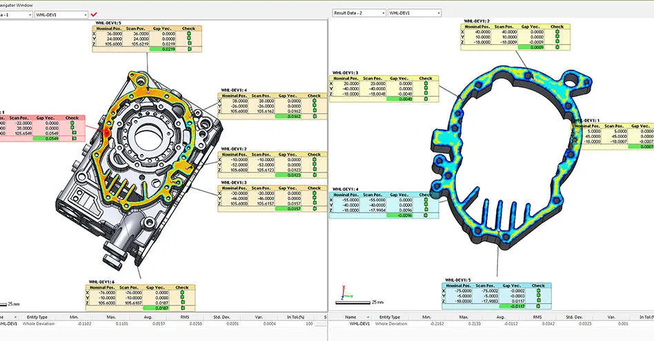
Artec say checking as-built against design intent catches discrepancies early, while they are cheap to fix.
- 04
Days into hours
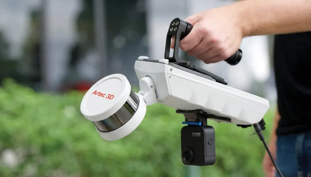
Artec state days of traditional survey work become a few hours on site with Jet, Ray II and Leo.
The kit that does it
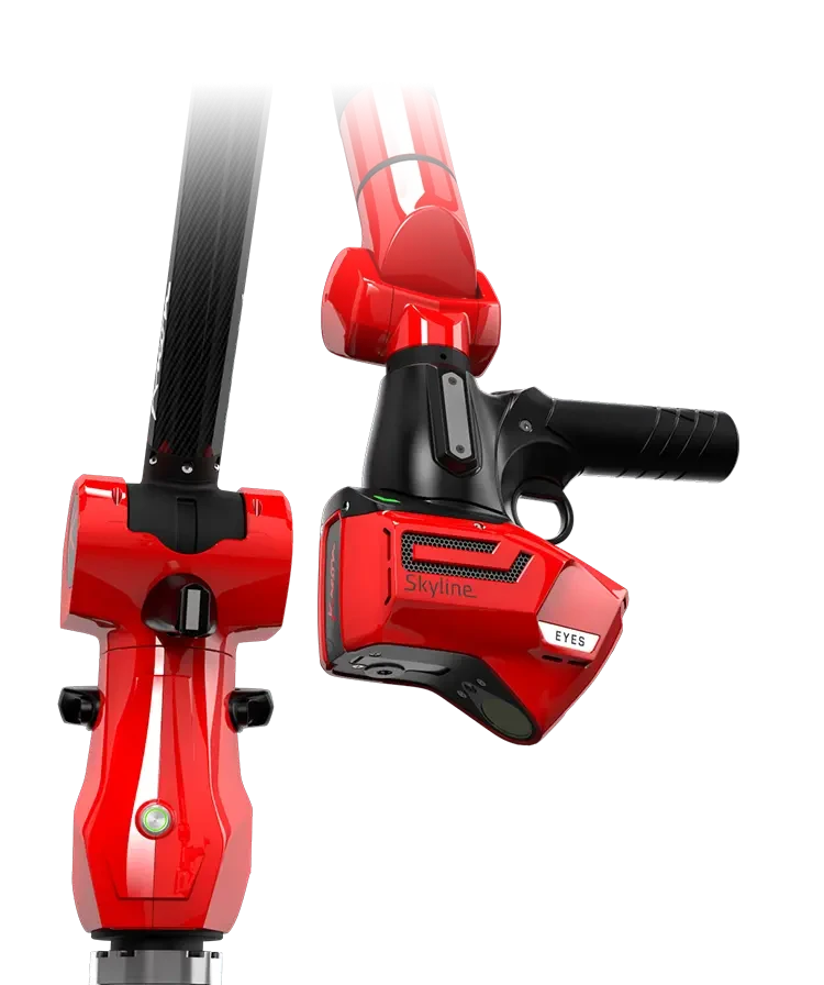
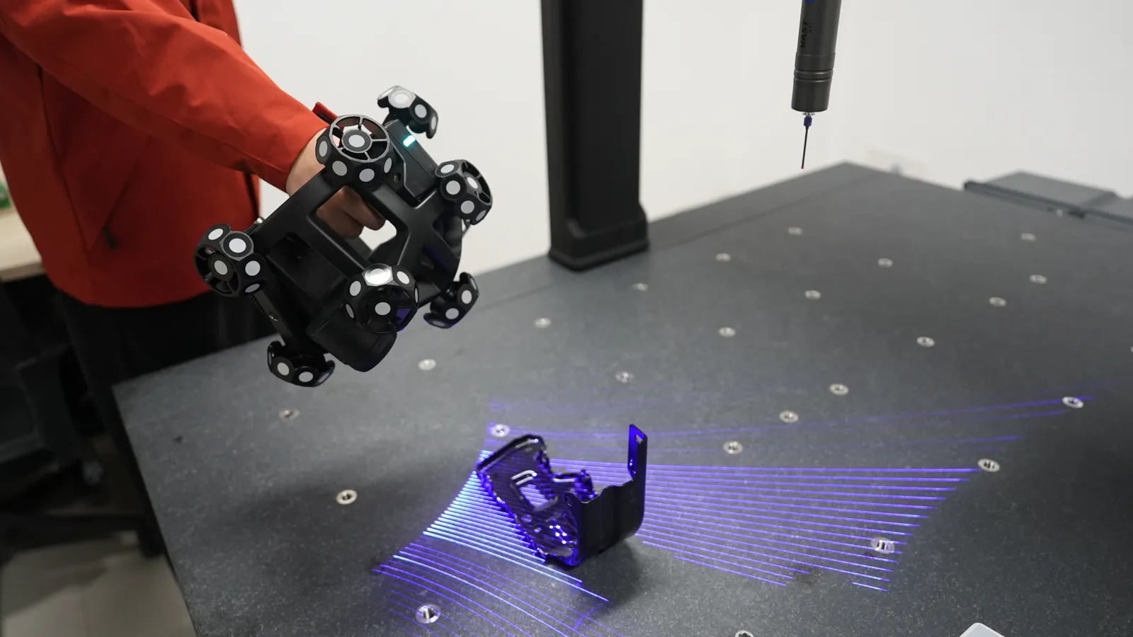
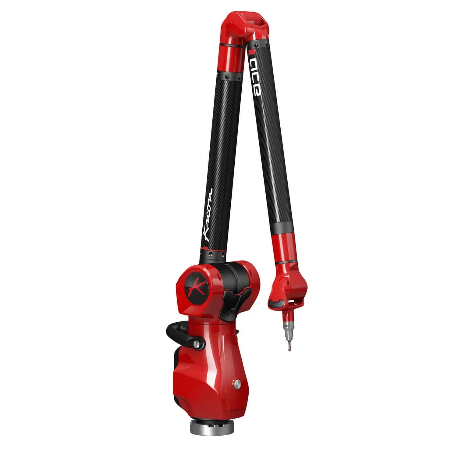
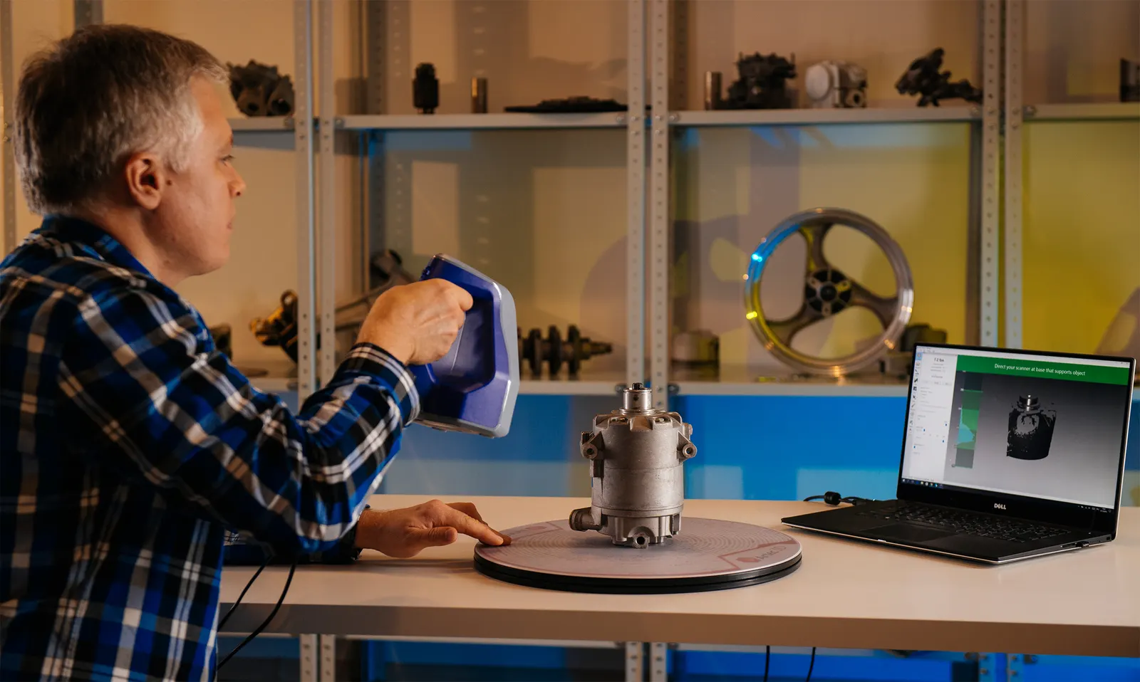
Sold, installed and supported from Whitchurch, with a demonstration before you buy.
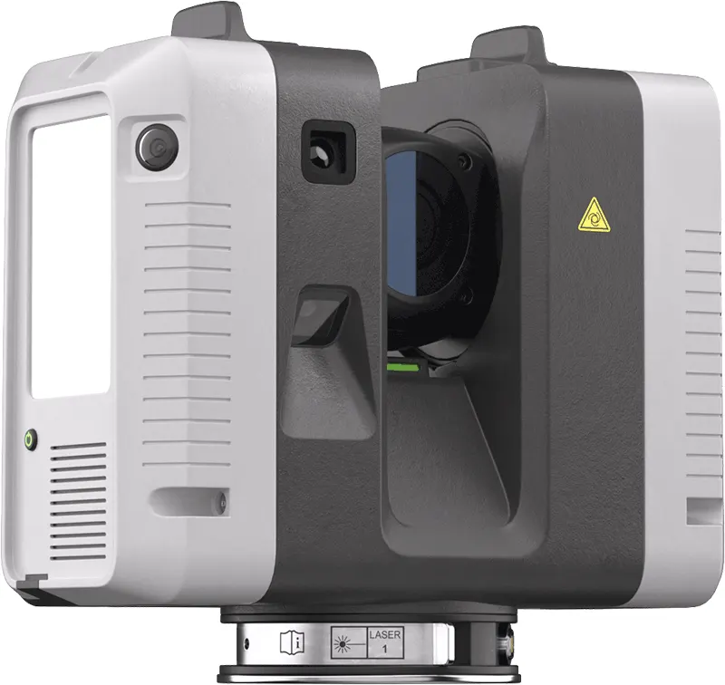
£50,750ex VAT
Find out more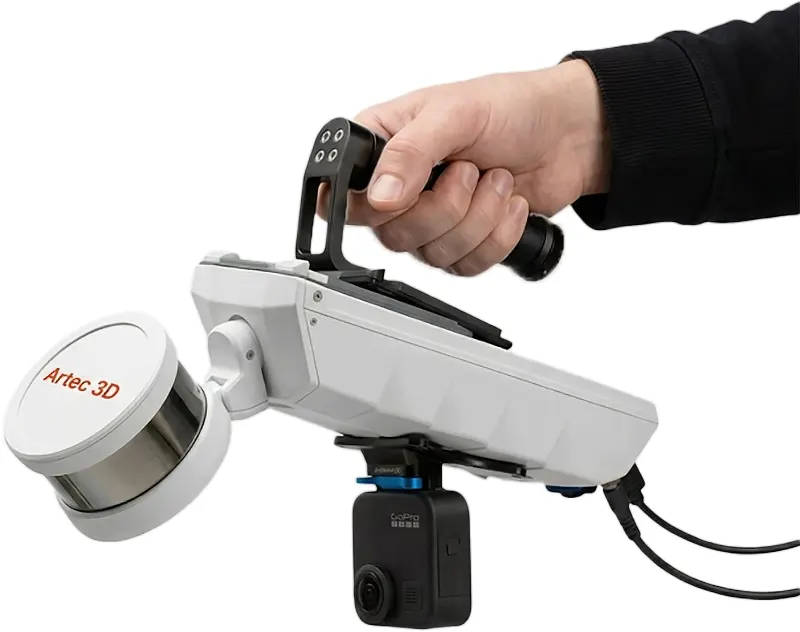
£33,000ex VAT
Find out more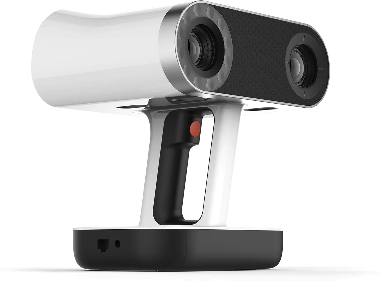
£29,650ex VAT
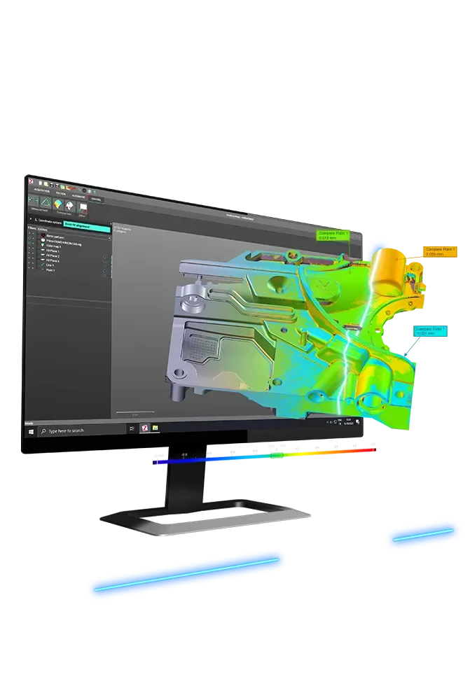
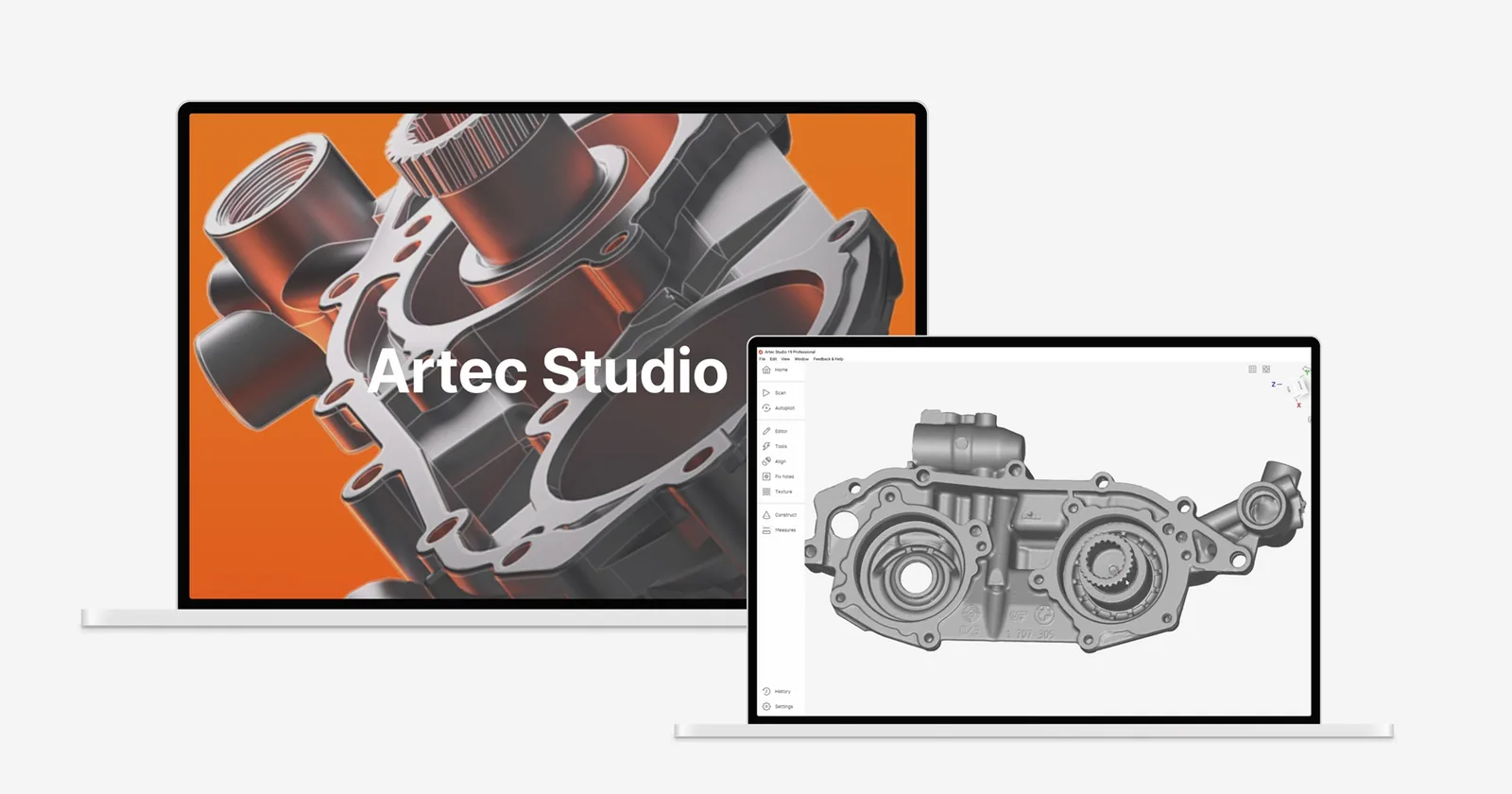
Find out moreThe software it runs through
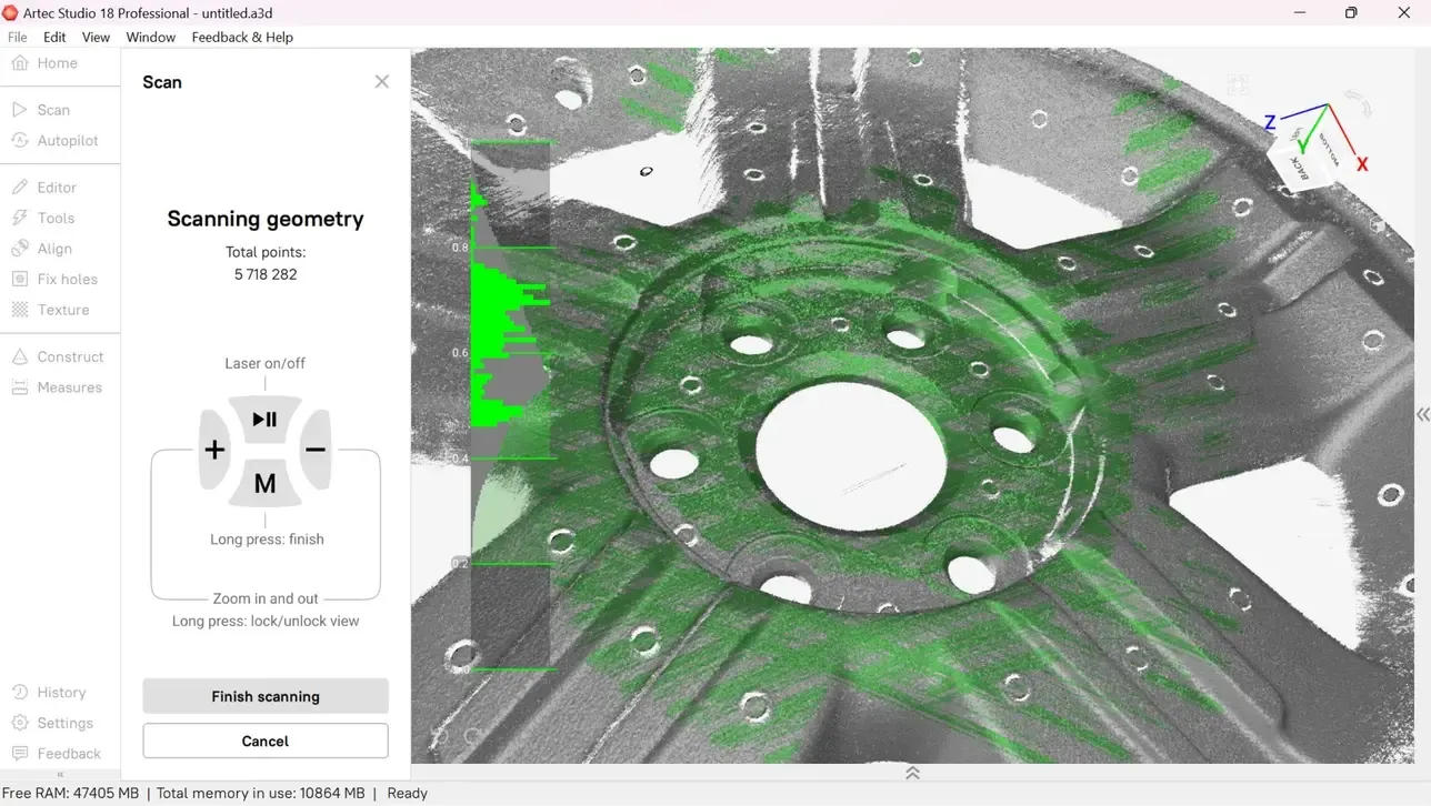
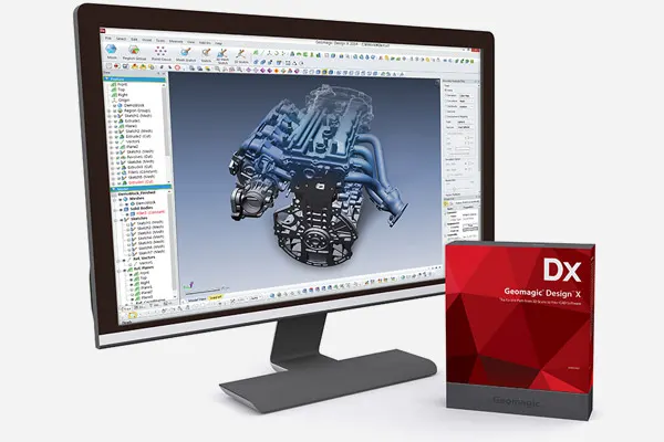
Licensed, installed and taught by us. See the courses
Work we have done
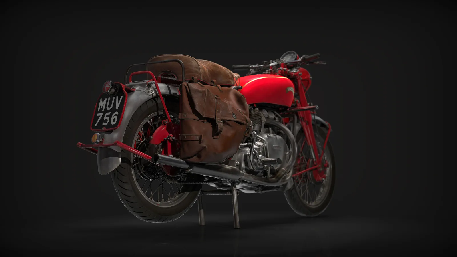
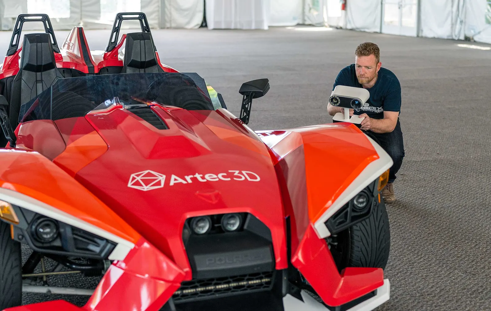
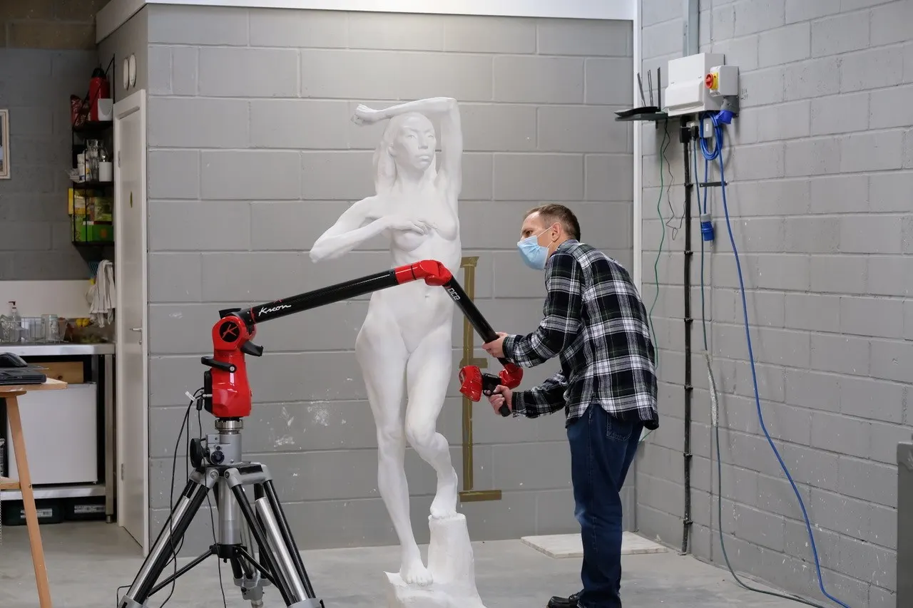
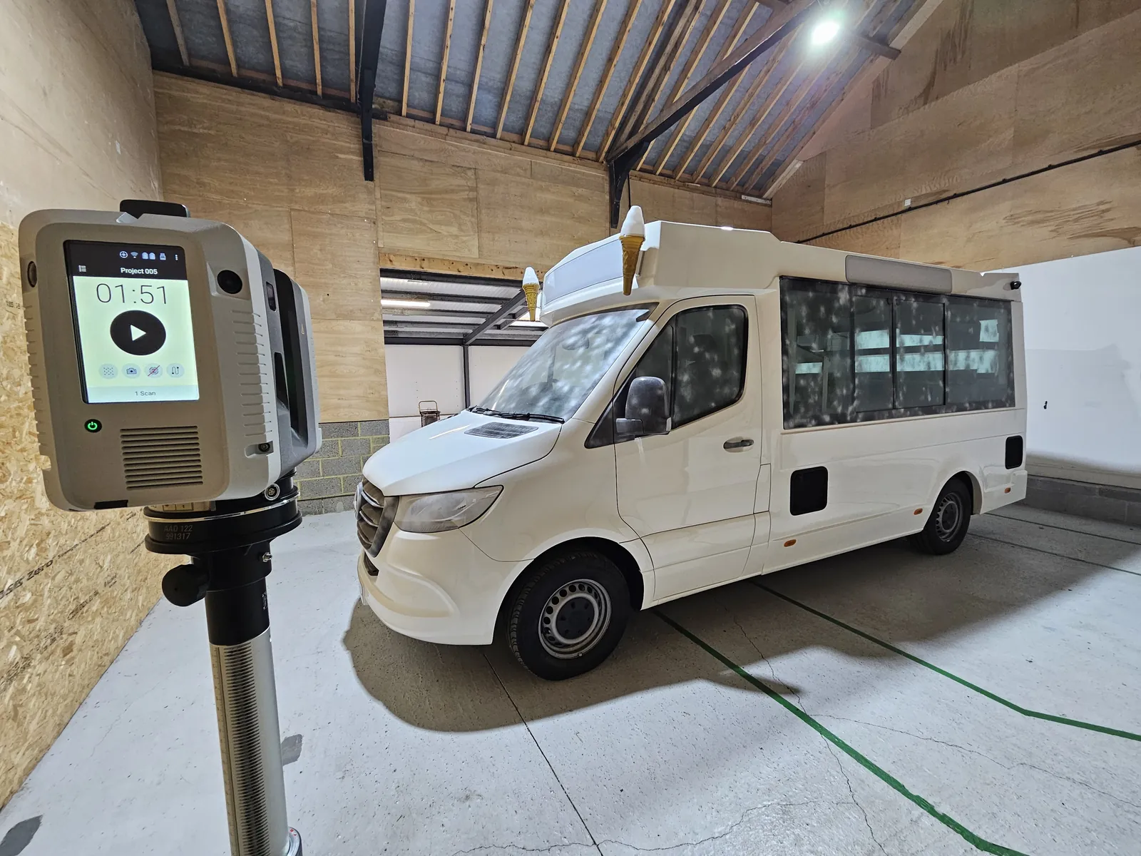
Photographed in our own lab, with the machine that did it.
Questions we get asked
Something else? Ring 0330 229 0175 and an engineer will answer it.
Do you produce the Revit model?
No. The deliverable is the registered point cloud. We work alongside your modelling team and will introduce one if you do not have one.
Should I choose the Ray II or the Jet?
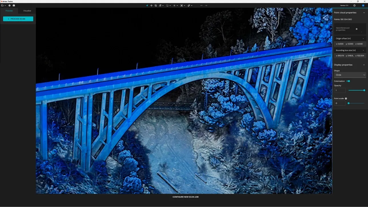
The Jet maps on the move. It is faster for whole sites and spaces with no GPS. The Ray II scans from tripod positions for the highest accuracy in a focused area. Artec Twins merges the two.
What formats does the Jet export?
Artec Twins exports LAS, LAZ, PLY, DXF or E57 for CAD, BIM and survey software.
Rather we did it for you?
Bring it to Whitchurch or we come to you. An engineer scopes the job, captures it and hands back the data in the format your team works in. Or hire the scanner for a week and do it yourself.