.svg)
Laser scanning and reality capture
Underground mine mapping
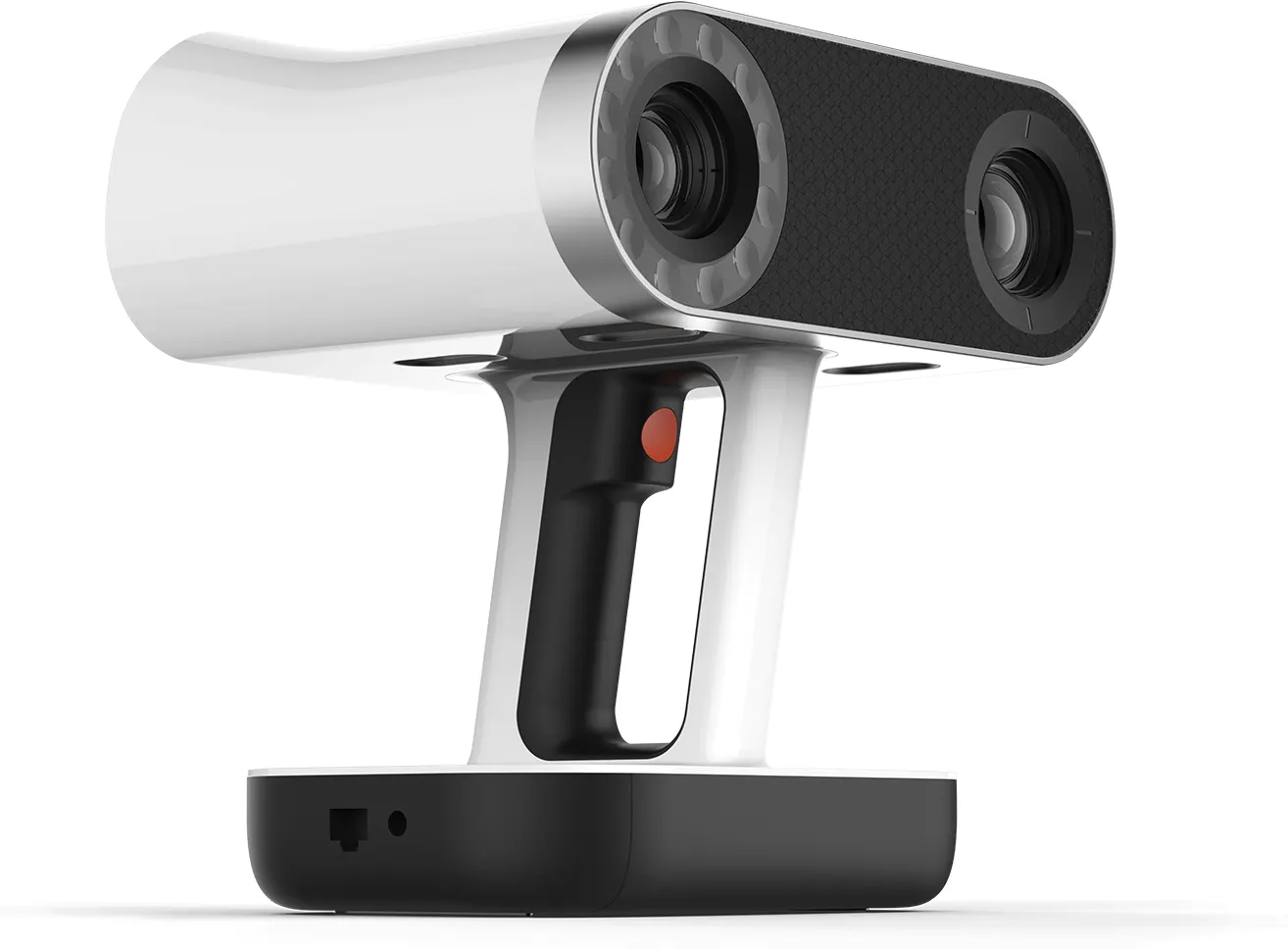
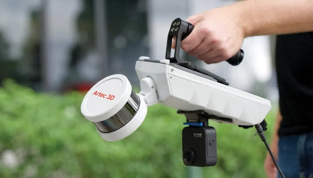
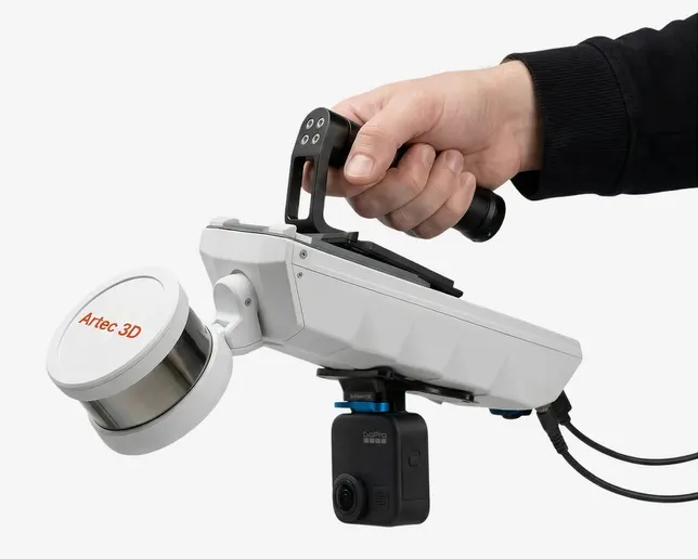
Drives, stopes, shafts and voids mapped where GPS cannot reach. The Artec Jet maps underground by SLAM as it moves, carried on foot, mounted on a vehicle or sent ahead on a robot where people should not go.
- SLAM maps as it moves
- No GPS
- Artec Jet range
- 0.5–300 m
- For unsafe areas
- Robot-mounted
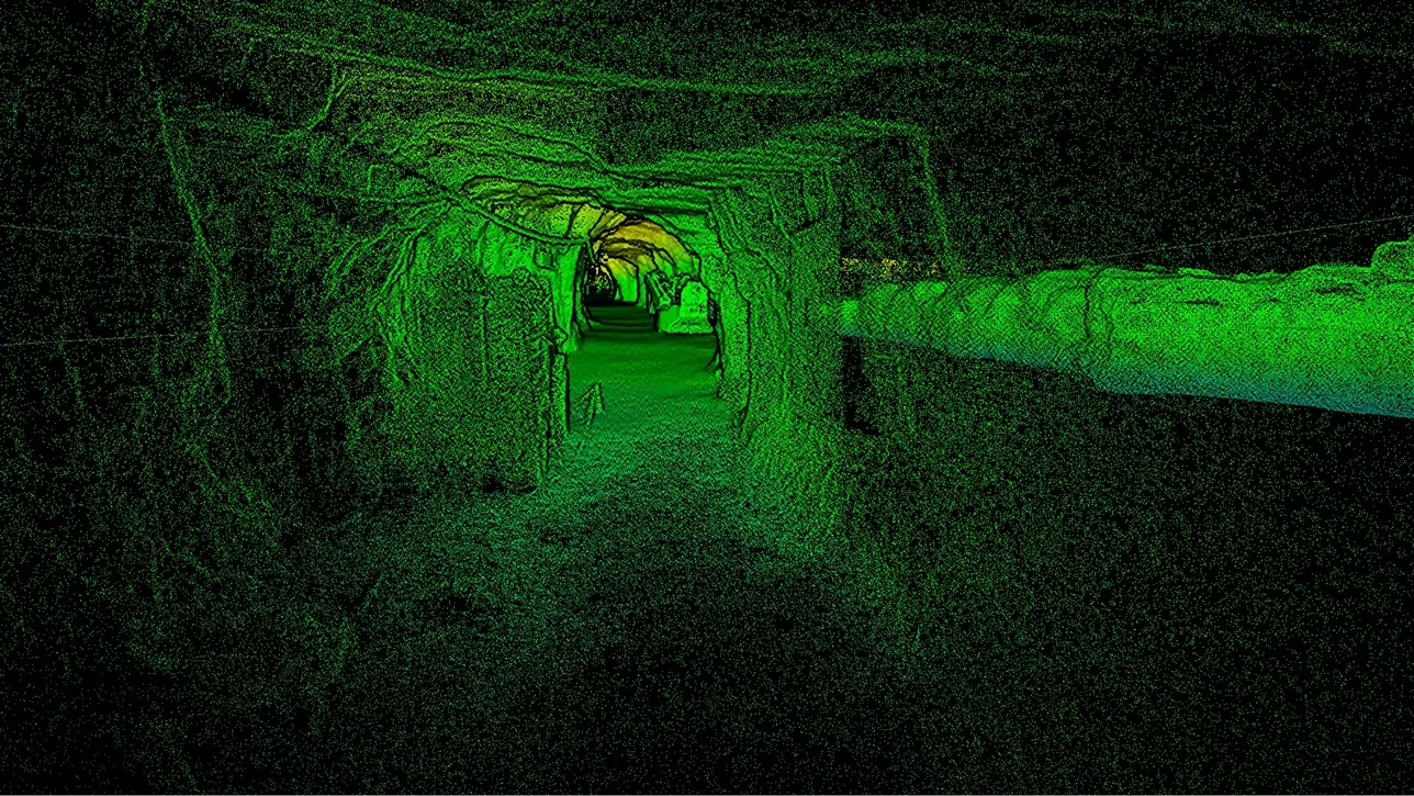
Mapping where nothing else can see
Underground there is no satellite signal and often no safe place to stand a tripod. SLAM LiDAR works out where it is from what it sees, building the map as it travels, so drives and workings are mapped at walking or driving pace.
Where an area is unsafe for people, the Jet can be mounted on a robot and sent in. The result is a registered cloud of the workings, tied to surface control at the portal or shaft where needed.
How a job runs
- 01
Plan the route
Access, loops for closure and where the map ties to known coordinates.
- 02
Map
On foot, vehicle or robot, at the pace the workings allow.
- 03
Register
Routes closed and joined, then tied to surface control.
- 04
Deliver
Cloud, sections, volumes and plans.
What you get back
In the formats your team already uses. Ask if you need something else.
Registered point cloud
The workings in one cloud, in LAS or E57.
Sections and plans
Profiles and plan views at the intervals you need.
Void volumes
Stopes and voids measured from the cloud.
The kit we use
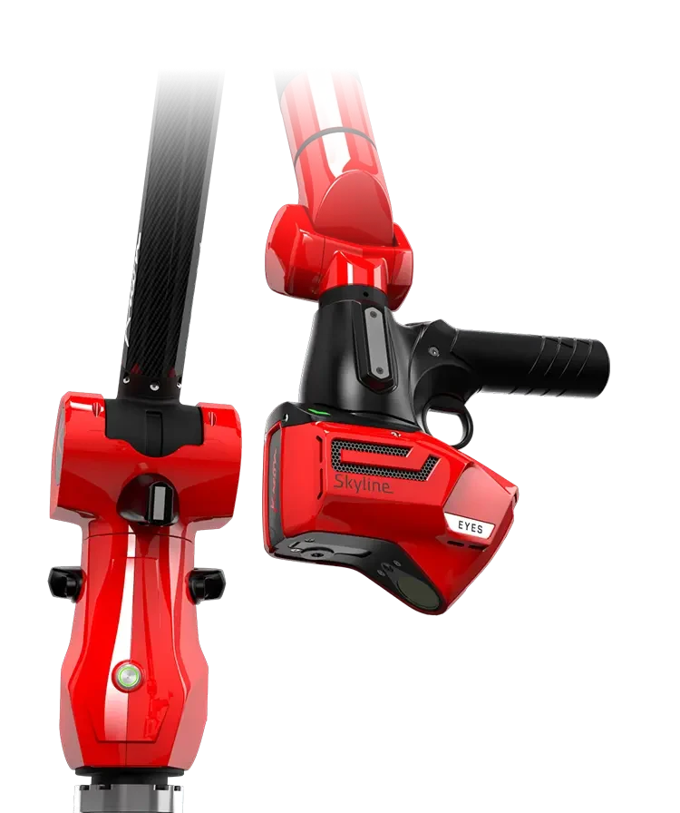
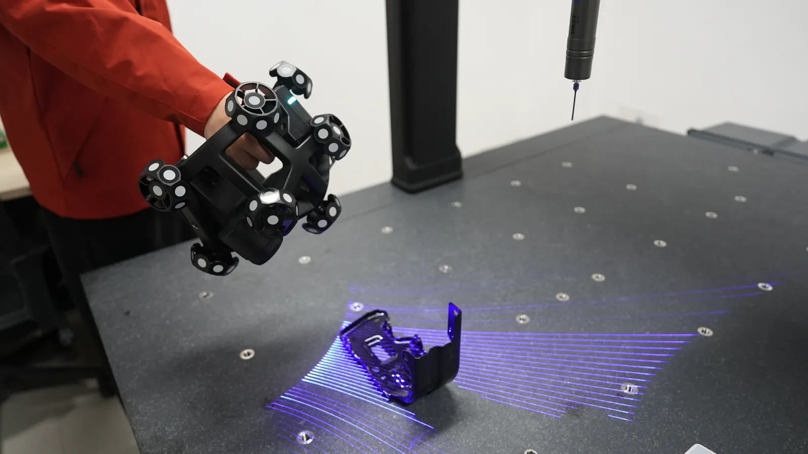
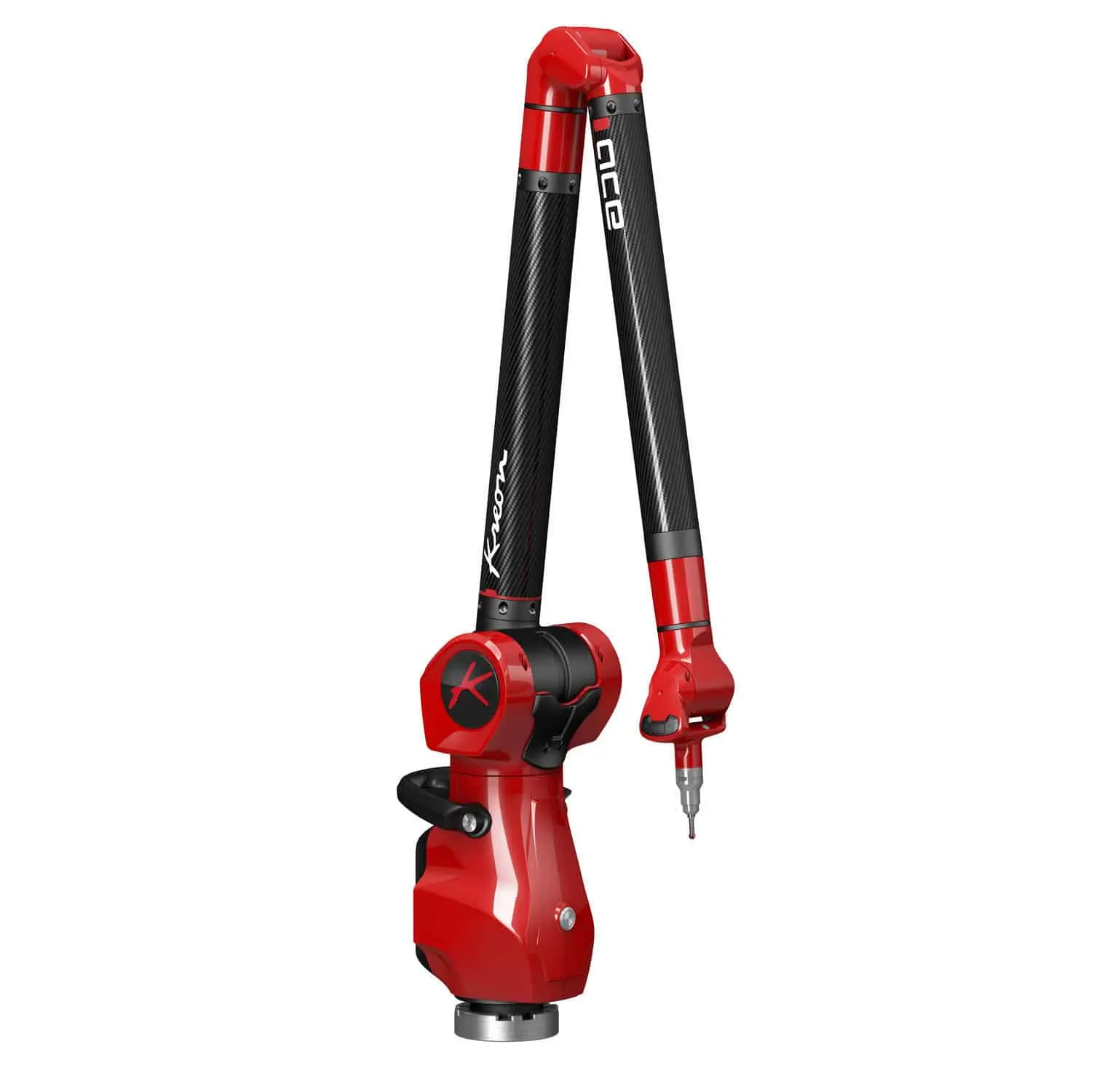
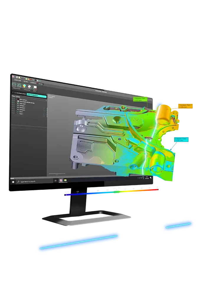
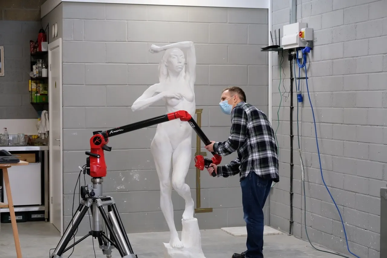
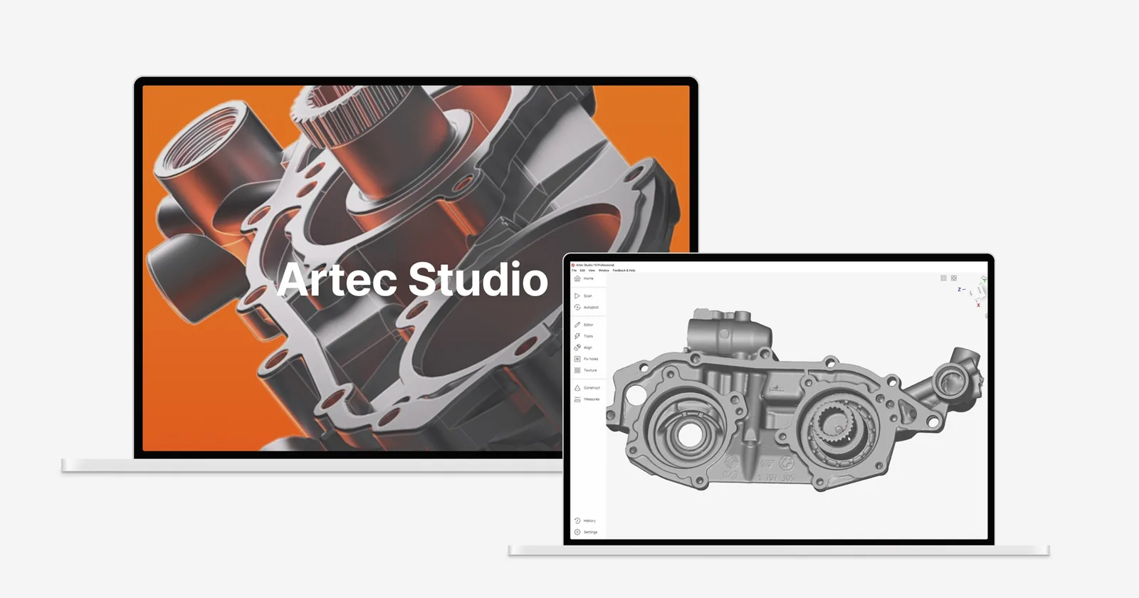
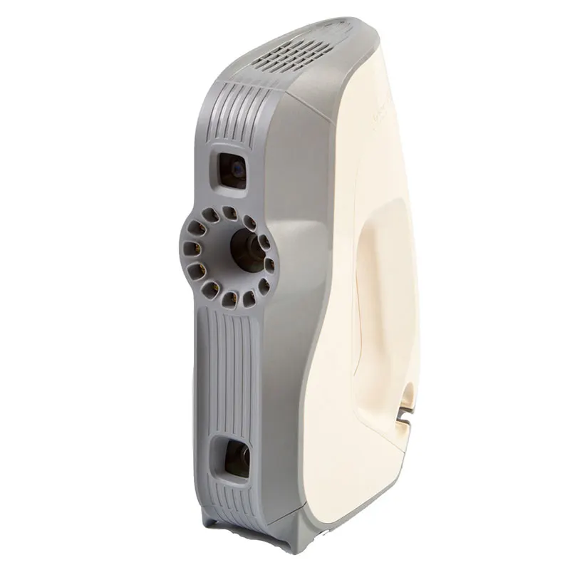
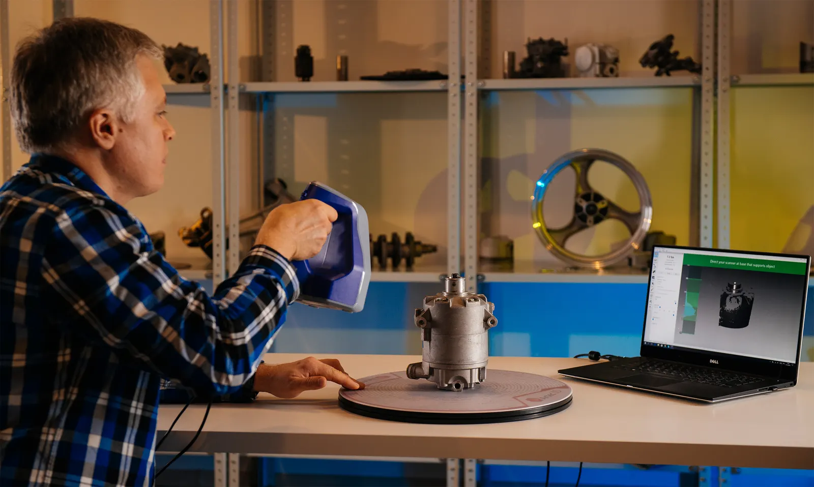
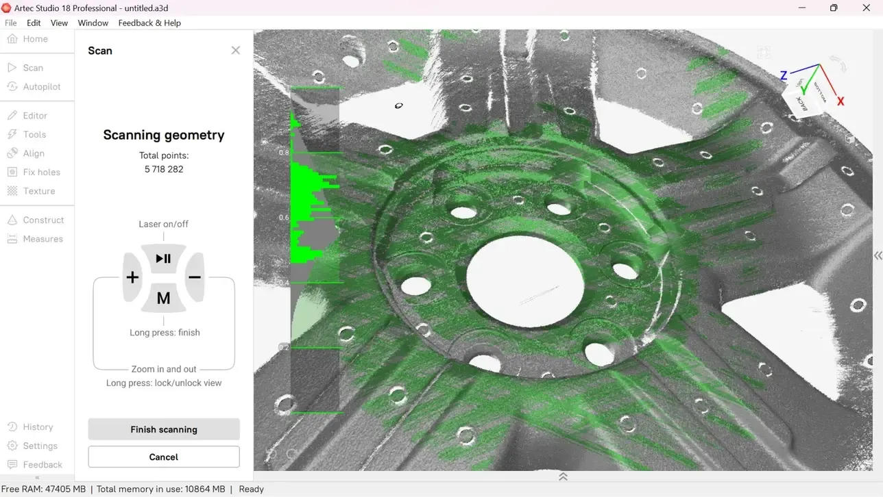
The same scanners, arms and software we sell, train on and support. Like what you see? You can buy or hire it too.
FAQ
If yours is not here, ring 0330 229 0175 and ask for the scanning team.
Not answered here?
Ask the engineers who run the machines. We answer the same working day.
How does it work with no GPS?
SLAM tracks the scanner’s position from the geometry it sees as it moves. Closing loops and tying to known points at the surface keep the map accurate over long routes.
Can you map areas people cannot enter?
Yes. The Jet can be mounted on a robot or vehicle and driven in, so the map is made without putting anyone at risk.
Tell us what needs scanning
A photo, a rough size and what you need out of it. We will come back with a fixed price and a date, and if scanning is not the right answer, we will say so.
Whitchurch SY13 4AL