Free UK delivery over £75 — ordered before 3pm, out the same day0330 229 0175Pay by invoiceSign in
Get a quote

Solutions

Surveying & geospatial

3D scanning for surveying & geospatial — Terrestrial and mobile LiDAR for survey practices — adding fast reality capture to traditional instruments.

Terrestrial and mobile LiDAR for survey practices — adding fast reality capture to traditional instruments.

Where scanning pays for itself

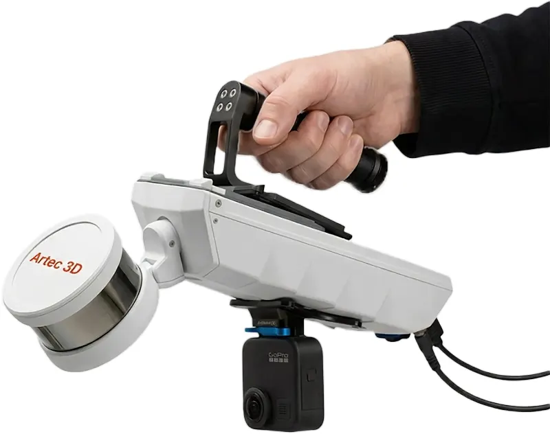
Jet mobile SLAM for coverage at walking pace

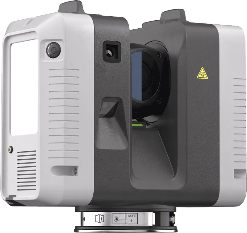
Ray II for control and station work

E57, LAS/LAZ and RCP-ready deliverables

Proof, not promises

Twenty-five years of casework across these industries — the case studies are the honest record. If your application is unusual, that is normal here: describe it and an engineer will tell you what is realistic before anyone talks money.
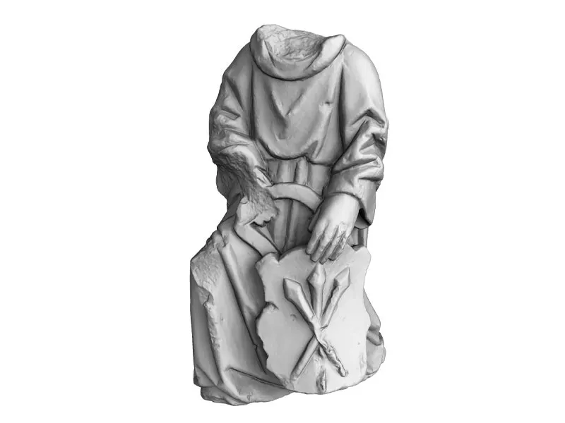
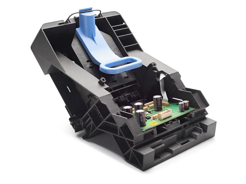
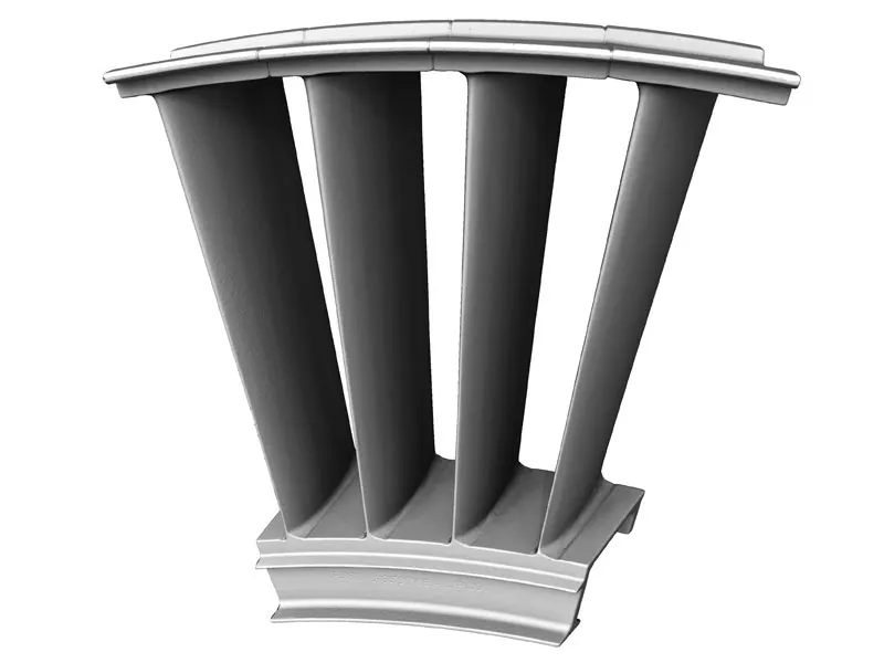
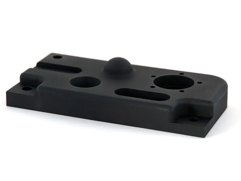
Work of this kind

Photographed in our own lab, with the machine that did it.

Need this today?

Ring the office and ask — somebody who runs the machines will pick up and answer it properly.

0330 229 0175, Monday to Friday 8.30am – 5pm

Get a part priced

STL, STEP, IGES, OBJ or 3MF. An engineer looks at the geometry and comes back with a price, usually the same working day.

Send us the file →

Buy from stock

Sprays, targets, calibration plates and printed spares, out of Whitchurch the same day if you order before 3pm.

Shop the store →