.svg)
3D Scanners
Artec Jet UK | High-Accuracy SLAM LiDAR Mobile Mapping | Europac3D
Mobile SLAM LiDAR for site and infrastructure capture — walk, drive or fly it through a space and map as you move. Hardware-only price from £33,480 ex VAT, subject to confirmation.
Artec Jet: High-Accuracy SLAM LiDAR Mobile Mapping
Multi-platform: backpack, drone, robot and vehicle mounting
Fast, survey-grade reality capture—anywhere.
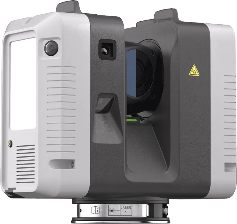
Artec Jet is a high-precision mobile LiDAR mapping system that combines SLAM positioning with AI-powered autonomy to capture sites, facilities, and infrastructure in minutes—including GPS-denied environments such as tunnels, indoor plants, and underground spaces.
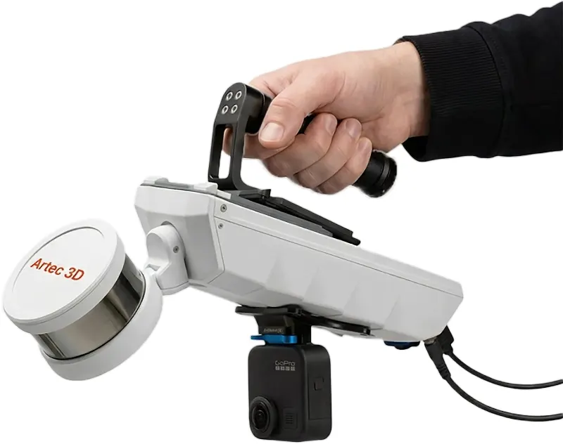
Whether you’re scanning by hand, using a walk-around/backpack setup, or mounting to a drone, robot, or vehicle, Jet gives teams a single platform for digital twins, as-built documentation, inspection, clash detection, and change detection workflows.
Buy with confidence from 3DPrintworx-Europac3D, a UK Artec Gold Certified reseller. Onboarding and training included, with on-site proof of outcomes before purchase.

1.9 Million Points Per Second Scan Speed
IP65 dust & water resistant
1.57 kg - easy to carry; better flight time
Up to 10mm Mapping Accuracy
0.5-300m Scanning Range
360° × 290° Field Of View
Why Artec Jet for UK infrastructure, survey and inspection teams?
Faster Capture at Survey Grade Accuracy
When you’re responsible for real assets—rail, highways structures, utilities, industrial plants, defence estates, ports, or complex facilities—the challenge is always the same:
Capture enough detail to make engineering decision
Work faster than tripod scanning over large areas
Stay safe in confined/hazardous/hard-to-reach locations
Trust the result (repeatability, QA, confidence)
Artec Jet is built for mobile mapping with survey-grade accuracy, so teams can collect detailed point clouds at speed and keep projects moving without sacrificing quality.
What you can deliver with Artec Jet
Use Jet to produce outputs that engineers and stakeholders can act on:
Digital twins for infrastructure and facilities
As-built documentation (existing conditions you can measure)
Inspection and condition assessment workflows
Clash detection and retrofit planning
Volumetric measurement and site understanding
Change detection for repeat survey / monitoring
Plus: Gaussian splats for realistic scene visualisation
Turn captured environments into high-impact, realistic walkthroughs (Gaussian splats) for stakeholder review, training, comms, or rapid situational understanding—especially powerful for public safety, defence support, and complex infrastructure.
GPS-denied mapping (including complete darkness)
Jet is designed to capture without relying on external infrastructure such as GPS guidance, making it ideal for: Tunnels, basements, plant rooms, confined spaces Underground infrastructure and complex indoor environments It also supports zero-light operation, because LiDAR is active sensing and does not require ambient light.
One scanner, multiple deployment modes
Choose the modality that matches your mission and risk profile,switching quickly between setups.
Walk-around / Handheld
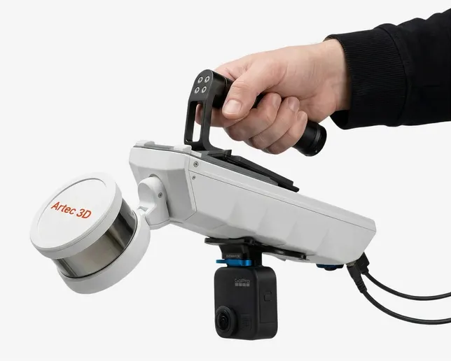
Walk through buildings, facilities, and confined spaces with a lightweight mobile mapping system.
Backpack – For Longer Surveys
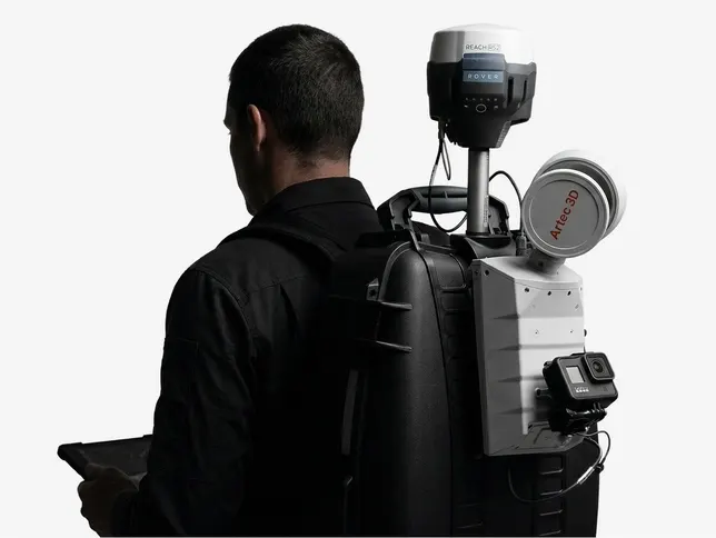
Free your hands on large sites and corridors. Pair with RTK for georeferencing above ground—and continue seamlessly into GPS-denied areas in the same session.
Drone payload
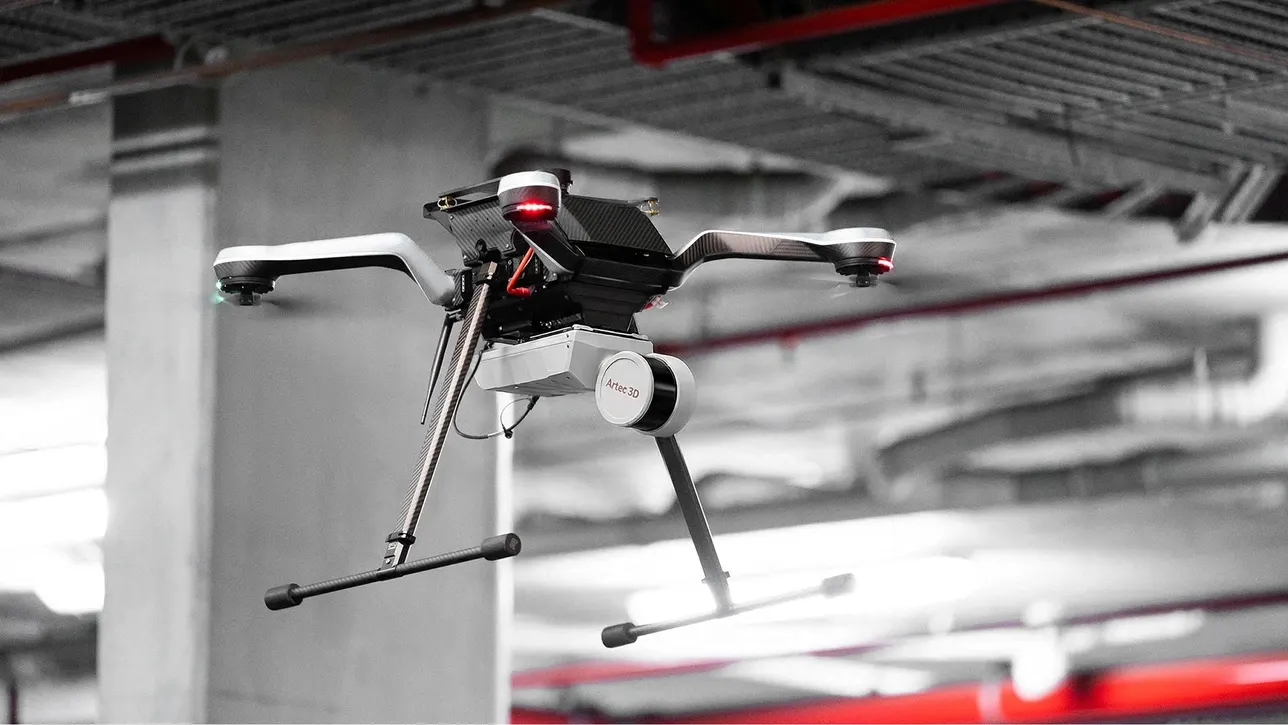
Access dangerous, elevated, or beyond-line-of-sight areas. Jet’s autonomy supports collision avoidance and guided exploration, including in complete darkness.
Robot / UGV mounting
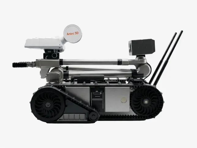
Mount onto platforms such as Boston Dynamics Spot to map confined or hazardous spaces without putting personnel at risk.
Vehicle mounting
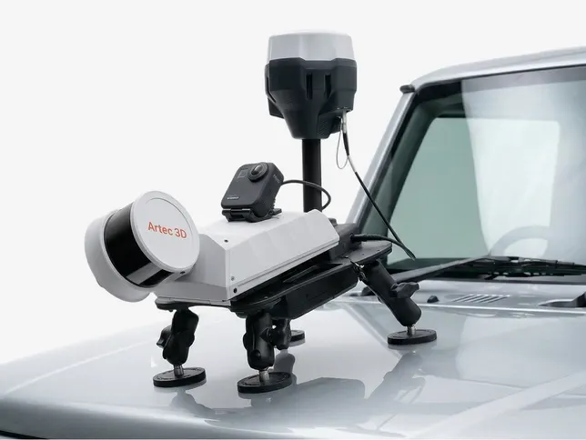
For longer linear assets and road networks, a vehicle configuration enables rapid coverage across distance while maintaining mapping quality.
Right first time Reality Capture
From real-time feedback to on-site verification, Artec Jet reduces rework and repeat visits—so teams move faster with confidence in every dataset.
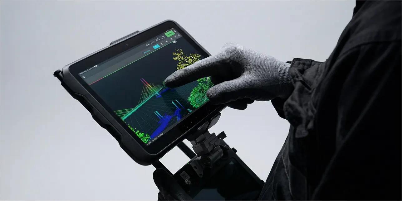
On-site verification
Review scans before you leave site to confirm the dataset is complete and ready for use every time.
Real-time feedback
Live point-cloud previews in the companion app confirm coverage as you scan—so you can avoid missed areas and unnecessary rework.
360° scene capture
A 360° × 290° field of view delivers dense, shadow-free point clouds with full coverage in a single pass.
Colour capture
Pair LiDAR with a supported camera to add imagery for vivid, true-to-life 3D visuals with instantly recognisable features.
Hot-swappable batteries
Swap batteries without powering down or losing progress—ideal for uninterrupted capture across large sites.
GNSS-assisted georeferencing
Use RTK accessories to improve global positioning accuracy and reduce reliance on control points.
Safer autonomous mapping in confined and hazardous spaces
Artec Jet’s AI autonomy enables drone-mounted SLAM LiDAR scanning in hard-to-reach areas, including locations where GNSS/GPS positioning isn’t available or reliable. Set simple waypoints and the drone can fly autonomously, using LiDAR to understand its surroundings, avoid obstacles, and capture the 3D data you need—while keeping your team out of harm’s way.
Collision avoidance
Artec Jet’s omnidirectional LiDAR creates a protective “safety bubble” around the drone, detecting nearby obstacles—including fine hazards like cables and wire, so you can carry out confined-space drone LiDAR scanning with fewer interruptions and lower risk of impacts.
Beyond line of sight
Use waypoint missions and intelligent path planning to fly into hard toreach or hazardous areas beyond normal visual coverage, helping teams capture 3D data for infrastructure inspection and aerial LiDAR mapping where people can’t safely go.
Return to base failsafe
If battery levels drop or conditions change, the system can return to base using a safe, pre-mapped route—helping protect the aircraft and preserving the dataset so you can complete drone LiDAR surveys with confidence.
End-to-end reality capture in one ecosystem
Artec Jet brings site-scale SLAM LiDAR mapping into the Artec 3D ecosystem, enabling a unified workflow from large environments to component geometry—optimised for accuracy, speed, and consistent deliverables.
Capture spatial context and site geometry quickly and accurately.
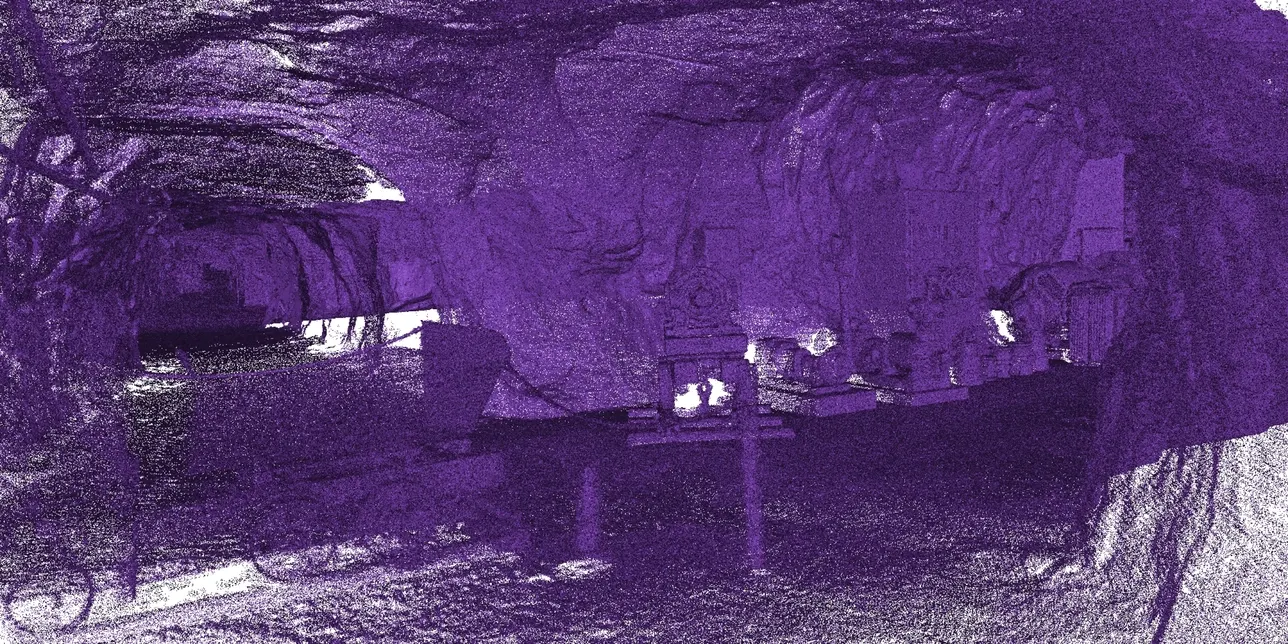
Resolve fine geometry and surface texture where it matters.
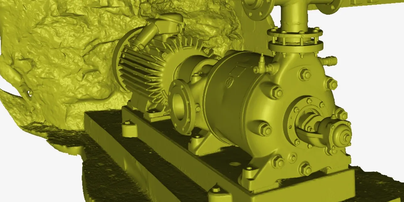
Merge datasets into a complete model at the right scale and resolution.
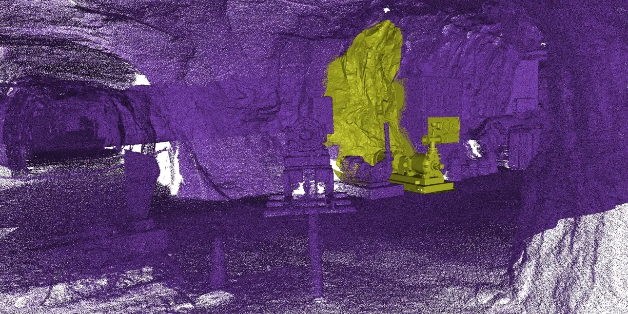
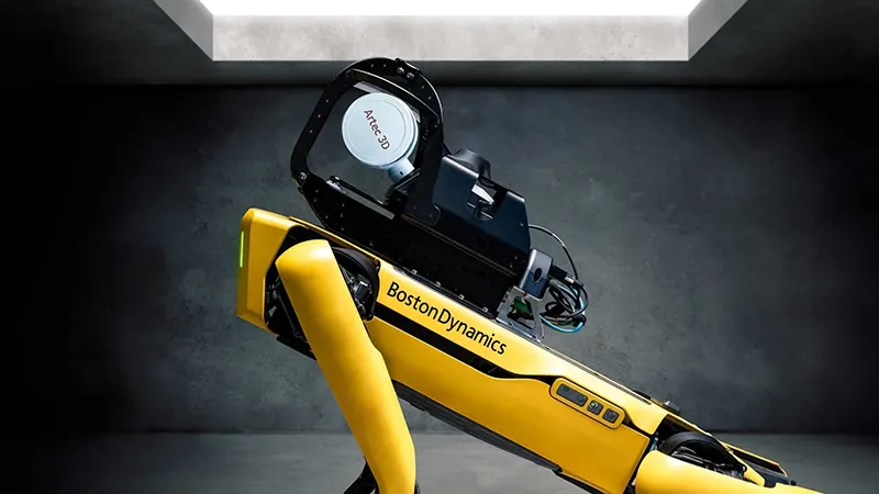
Robot and Drone autonomy for inaccessible environments
Powered by an AI Autonomy engine, Artec Jet’s SLAM LiDAR mounted on Boston Dynamics Spot can navigate complex environments while capturing high-accuracy 3D data. Set a route or waypoints and Spot moves autonomously, using the LiDAR to understand its surroundings, avoid obstacles, and safely map areas that are difficult or risky for people to access.
Industries
Architecture, Engineering & Construction (AEC)
Create fast, reliable as-built surveys, digital twins and site documentation for buildings, bridges and infrastructure projects. Capture data on foot, by vehicle or with drones in hard-to-reach locations, supporting design verification, progress monitoring and refurbishment planning.
Defence & Security
Generate detailed 3D terrain models, building data and tunnel maps in complex or GPS-denied environments. Autonomous drones and ground-based robotic scanning systems provide rapid situational awareness, mission planning data and secure digital records for defence and security operations.
Public Safety
Capture critical incident scenes, disaster zones and structural collapses quickly while keeping emergency teams at a safe distance. Drone-based 3D mapping and remote scanning help police, fire and rescue services document scenes, assess risk and support post-incident investigation.
Civil Infrastructure
Monitor the condition of bridges, tunnels, highways, dams and other critical assets with repeatable, georeferenced survey data. Our infrastructure scanning and inspection solutions support condition monitoring, defect detection, maintenance planning and long-term asset management.
Oil & Gas
Survey refineries, offshore platforms, pipework and elevated structures safely and efficiently without the need for scaffolding or lengthy shutdowns. Use drone inspection, LiDAR mapping and repeatable 3D data capture to support maintenance, corrosion monitoring and operational planning.
Mining
Carry out safe, accurate mine surveying and 3D mapping in areas that are too hazardous for personnel to enter. Use drone LiDAR, vehicle-based scanning or on-foot capture to map stopes, shafts, headings and underground routes, helping improve safety, planning and asset visibility.
Industrial Plants
Capture accurate 3D data in complex industrial environments including process plants, manufacturing facilities and refineries. Scan confined spaces, plant rooms and production areas to support predictive maintenance, retrofit projects, shutdown planning and reduced operational downtime.
Applications
Change Detection & Monitoring
Monitor sites and structures over time by comparing repeat scans to identify movement, deformation, erosion, settlement or wear. High-accuracy 3D change detection helps asset owners and engineers spot issues early and make informed maintenance decisions.
Digital Twins
Create accurate digital twins of buildings, infrastructure and industrial facilities for better visualisation, planning and asset management. High-quality 3D data gives teams a reliable digital record of real-world conditions to support decision-making across the full asset lifecycle.
As-Built Documentation
CProduce precise as-built surveys and 3D documentation of existing sites, structures and assets. Capture the true condition of a building or environment to support design validation, refurbishment, compliance and project coordination.
Asset Inspection
Inspect critical assets remotely using detailed 3D data capture, reducing the need for scaffolding, rope access and confined space entry. This improves safety while providing clear, measurable information for inspection, maintenance and reporting.
Topographic Surveying
Carry out rapid topographic surveys and terrain mapping using LiDAR to capture ground conditions, surface features and complex landscapes. This provides a faster alternative to traditional field methods, particularly across large or difficult-to-access sites.
Volumetric Measurement
Calculate stockpile volumes, excavation quantities, overbreak, underbreak and backfill requirements from accurate point cloud data. Fast, repeatable volumetric surveys help improve planning, reporting and material control across mining, construction and industrial sites.
Scan to BIM
Turn reality capture data into accurate Scan to BIM models for design, refurbishment and asset management. By linking real-world survey data with BIM workflows, project teams can improve coordination, reduce errors and work from a trusted representation of existing conditions.
Progress Monitoring
Track progress on construction, excavation and remediation projects with regular scan data. Compare actual site conditions against design models and previous surveys to improve reporting, reduce rework and keep projects on programme..
Facility Management
Digitise existing facilities to support maintenance planning, space management, asset tracking and operational efficiency. Accurate 3D site data helps keep records up to date without relying on manual measurement or outdated drawings.
Site Planning
Capture existing site conditions to support pre-construction planning, layout development and scenario modelling. A reliable digital site record reduces repeat visits, improves collaboration and helps accelerate early-stage project workflows.
FAQs
What is SLAM LiDAR mobile mapping?
SLAM-based LiDAR combines laser scanning with Simultaneous Localisation and Mapping (SLAM). The LiDAR captures a dense 3D point cloud, while SLAM continuously calculates the scanner’s position by matching features in the environment. The result is fast, accurate mapping on the move — especially useful indoors, underground, or anywhere GPS isn’t available.
How accurate is Artec Jet?
Accuracy depends on the environment and how the scan is captured (geometry, scan length, loop closures, and whether you use ground control points and/or RTK). In feature-rich environments like buildings, tunnels, and facilities, SLAM systems can deliver survey-grade results.
For Artec Jet specifically, published figures are up to ±10 mm mapping accuracy indoors/underground, ±15 mm in general environments, and ±5 mm change detection capability.
What is the scanning range and capture speed?
Jet has a LiDAR range of 0.5–300 m and supports high acquisition rates up to 1.9M points/sec (triple return).
Can it scan indoors, underground or in darkness?
Yes. LiDAR is an active sensing technology — it emits laser pulses and measures the reflections — so it does not rely on ambient light. That means you can capture reliable 3D data in unlit tunnels, sealed buildings, underground spaces, or night-time operations without scan quality dropping.
What’s included with Artec Jet?
Artec Jet ships as a ready-to-scan kit: the scanner plus essentials such as a battery, charger, handle, walking-scan cabling/accessories, belt clip, international power adapters, and a quick start guide. Optional add-ons include items for long-range comms and colour workflows.
What optional accessories are available?
Artec Jet can be configured for different deployments and survey requirements. Options include backpack, vehicle mounts (magnetic/suction), telescopic boom pole, protective cage, and specialist mounts (e.g., CMS). For UAV use, there are fitting kits for DJI Matrice platforms, plus optional long-range radio and tablet display kit. For survey workflows, accessories also include RTK base stations, control point targets, and a GoPro/colourisation kit for RGB colour point clouds.
Do I need to buy a drone separately?
Yes — the drone is purchased separately. Artec Jet acts as the payload and mounts to compatible platforms. Drones supported includer DJI M210v1 and DJI Matrice 350 RTK, with autopilot compatibility including DJI and ArduPilot (Acecore Zoe). (If you’re planning a purchase, we can confirm the latest supported list.)
Does Artec Jet capture colour data?
By default, Jet captures LiDAR point clouds with intensity. For true-colour (RGB) point clouds, you can add an optional action camera mounted to the scanner. During processing, Artec Twins aligns the imagery to the point cloud to add visual context for analysis and visualisation. Many workflows (volumes, change detection, inspection) work perfectly well without colour, but colour is useful when quick visual identification is important.
Is training required?
Jet is designed to be straightforward to operate (power on and scan), with the companion app supporting guided autonomous missions. Most teams are productive quickly after a short introduction — and Europac3D can provide onboarding and best-practice workflows to help you get reliable results from day one.
What warranty and support coverage is included?
Artec Jet includes a 2-year warranty. If you need extended support or service options, Europac3D can advise on what’s available and what makes sense for your deployment.
Can I try Artec Jet before buying?
Yes — the usual route is a live demo so you can evaluate capture speed, coverage, and results in your own environment. We can also discuss trial/evaluation options depending on your use case and project requirements.
Artec Point Technical Specifications
| Mapping Method | SLAM-based LiDAR mapping, ±0.03% drift |
|---|---|
| Range | 0.5-300M |
| Lidar Accuracy | ±10 mm |
| Mapping Accuracy General | ±15 mm |
| Mapping Accuracy Indoor/Underground | ±10 mm |
| Change Detection Capability | ±5 mm |
| Working Distance | > 300mm |
| Capture Zone Volume | 1800cm³ |
| Linear Field Of View – Far Range | 700 x 600mm |
| Depth Of Field | 550mm |
| Speed | |
| Speed Of Capture – Real Time Fusion | 120 Fps |
| Speed Of Data Aquisition | 2.8 million points/sec |
| Scanning Modes | |
| Ultra Fast Scanning | 17 Crossed blue lasers |
| Hyper Fine Scanning | 7 Parallel blue laser lines |
| Deep Hole Scanning | 1 Single blue laser line |
| Hardware | |
| Power Supply | AC/DC 24V |
| Interface Connection | USB 3.0 |
| Illumination Source | Class II Blue Laser (eye safe) |
| Dimensions | 203 x 80 x 44mm |
| Weight | 0.57 kg / 1.3 lbs |
| Warranty | 1 Year |
| Compatability | |
| Operating System | Windows 10, Windows 11 |
| Recommended Computer Specs | Intel Processor with 8 cores, 16 threads, 2.6 Ghz. 64+Gb RAM, GPU with 8GB VRAM |
| Minimum Computer Specs | Intel Processor with 8 cores, 16 threads, 2.6 Ghz. 32+Gb RAM, GPU with 4GB VRAM |
| Output Formats | |
| Triangulated Surface Mesh | OBJ, STL, WRL, AOP, ASC, PTX, E57, XYZRGB |
| CAD | STEP, IGES, X_T |
| Measurements | CSV, DXF, XML |
Looking for a SLAM LiDAR scanner in the UK for mobile mapping, backpack capture, drone LiDAR payload workflows or GPS-denied scanning? Europac3D can help.
Read about how Artec 3D Scanners have been used
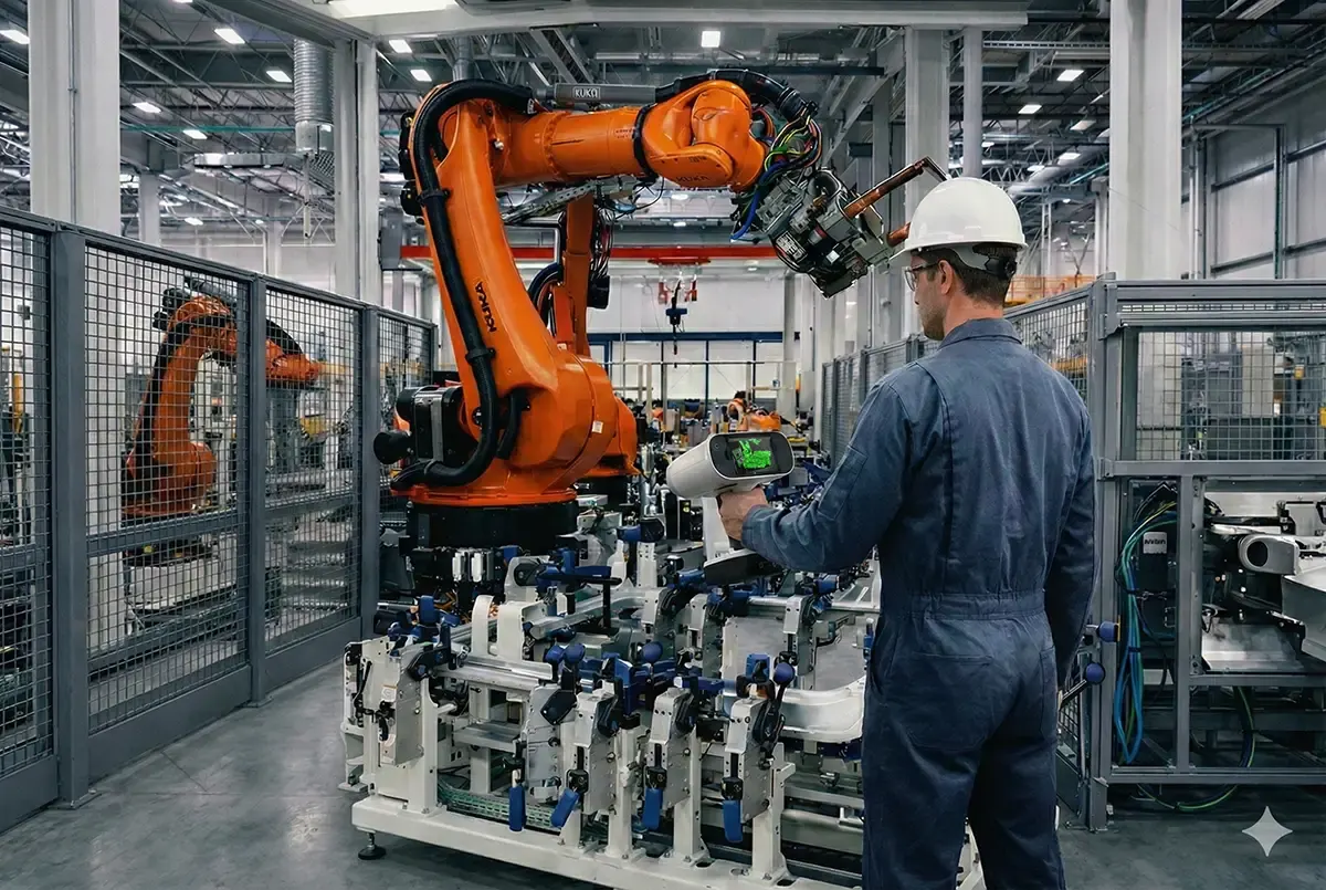
Artec 3D Scanners for Automotive Fixture & Gripper Inspection
February 18, 2026/by Mark Beckett
DESIGNING AND 3D PRINTING A TRIATHLON BIKE STORAGE BOX
August 2, 2024/by Mark Beckett
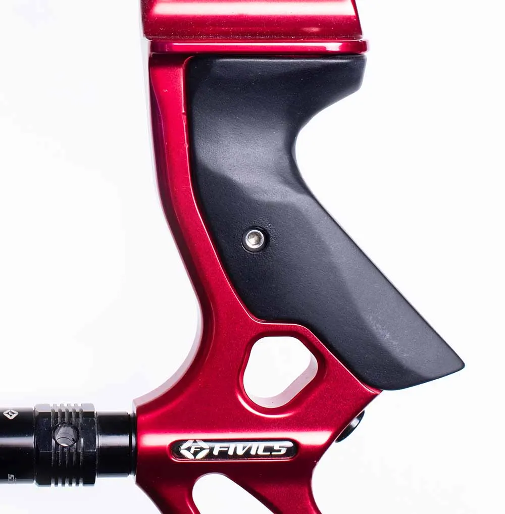
Hitting The Target – Reverse Engineering and 3D Printing Archery Grips for Great Britain
March 10, 2022/by Mark Beckett
Works with
Confirmed by us, not inferred from a spec sheet. If yours is not listed, ring and we will check.
- Artec Studio ProThe processing software behind every Artec scanner — capture, align, clean and mesh scan data, with direct exports to CAD and inspection tools. Sold as Artec Studio Pro subscription. (Artec Studio Lite is only available direct from Artec.)View machine →
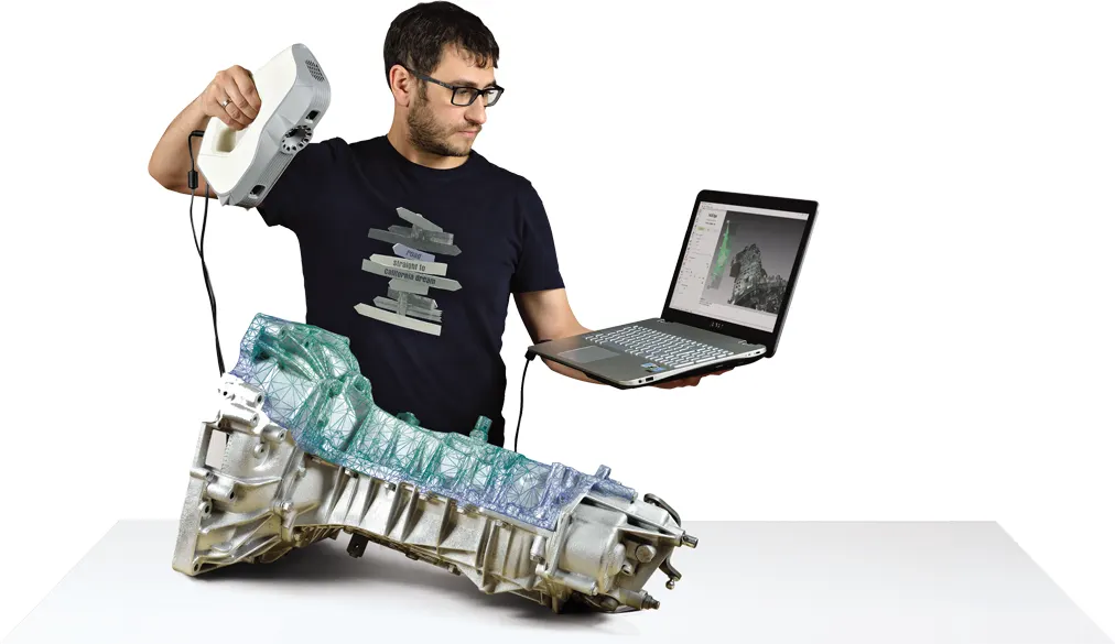
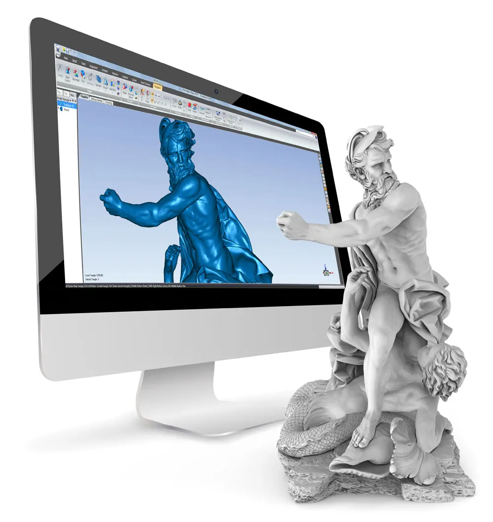
- Geomagic WrapTurns point clouds and meshes into usable surfaced geometry — the fastest route from scan to a watertight model.View machine →
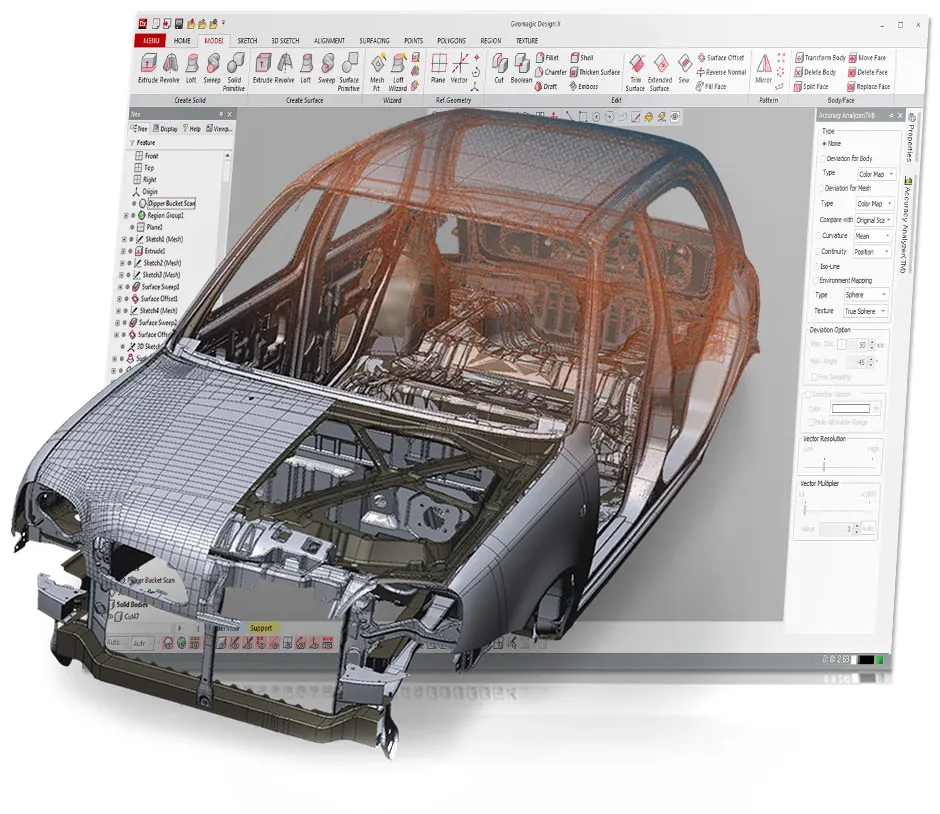
- Geomagic Design XFull reverse engineering to design-intent, editable parametric CAD — recreate how the part was designed, not just its surface.View machine →
- Geomagic for SOLIDWORKSScan-to-CAD tools inside SOLIDWORKS itself — reverse engineer without leaving the CAD seat your team already uses.View machine →
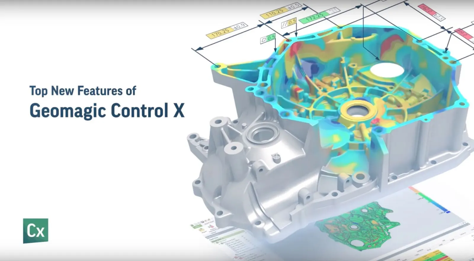
- Geomagic Control XInspection and quality control — overlay scan data on the original CAD and report exactly how the part was made, with GD&T and automated reporting.View machine →
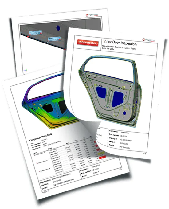
- PolyWorks|InspectorIndustry-standard dimensional inspection for portable metrology — alignment, GD&T, soft-gauging and reporting with Artec scanners and Kreon arms.View machine →
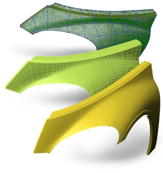
- WrapStylerFlattens 3D scan data into accurate 2D patterns — vehicle wrap, upholstery, textiles and templating from a scan.View machine →
- Artec Studio Essentials (1 day)One day covering the complete scan-to-model workflow in Artec Studio — capture technique, alignment, registration, fusion, texturing and export. The course every new Artec owner should take.View machine →
- Artec Studio Complete (2 days)The full Essentials day plus a second on advanced processing, multi-scanner projects, reverse engineering, inspection and automation — for teams pushing Artec Studio further than a single scan at a time.View machine →
- Artec Twins Mobile LiDAR Essentials (1 day)SLAM mobile mapping for Artec Jet users — planning a route, capturing on the move, processing large point clouds in Artec Twins, georeferencing and exporting LAS, LAZ and E57.View machine →
Goes with it
- Attblime AB Zero 3D Scanning SprayAttblime AB Zero is a solvent-reduced 3d scanning spary and therfore is particularly useful for use on sensitive surfaces such as 1k paint or sensitive plastics. It sublimates it 1-2 hours, giving ample time to 3D capture an object, before vanishing completely off the object without the need for wiping afterwards.
- Attblime AB2 - 2 Hour 3D Scanning SprayAttblime AB2 is a is an evaporating 3d scanning spray that will sublimate within 2-4 hours, giving the user a genuine 2 hours of scan time. It is extremely fine with a 3 micron layer thickness.
- Attblime AB2-G - 2 Hour 3D Scanning Spray 1 LitreAttblime AB2-G is a is an evaporating 3d scanning spray that will sublimate within 2-4 hours, giving the user a genuine 2 hours of scan time. It is extremely fine with a 3 micron layer thickness.
- Attblime AB2-G - 2 Hour 3D Scanning Spray 5 LitreAttblime AB2-G is a is an evaporating 3d scanning spray that will sublimate within 2-4 hours, giving the user a genuine 2 hours of scan time. It is extremely fine with a 3 micron layer thickness.
- Attblime AB6 - 6 Hour 3D Scanning SprayAttblime AB6 is a is an evaporating 3d scanning spray that will sublimate within 6-10 hours, giving the user a genuine 6 hours of scan time. It is extremely fine with a 5.75 micron layer thickness.
- Attblime AB6-G - 6 Hour 3D Scanning Spray 1 LitreAttblime AB6-G is a is an evaporating 3d scanning spray that will sublimate within 6-10 hours, giving the user a genuine 6 hours of scan time. It is extremely fine with a 5.75 micron layer thickness.
- Attblime ABP - Semi Permanant 3D Scanning SprayAttblime ABP has been designed specifically to meet the needs of optical 3d scanning technologies with the all new cooperative gray colour which is optimised for easy scanning in comparison to traditional white sprays. A homongeneous 7 micron layer thickness allows for accurate and consistent scanning results.
- Attblime ABX - 3D Sublimating Scanning Spray - Up to 2 hrsATTBLIME® ABX High is an optimised high performance 3d scanning spray that matts a surface in perfect white, making it perfect for optical metrology systems to quickly and easily capture surfaces. It sublimates in 1-2 hours giving the operator ample time to capture small to medium sized components, before dissappearing completely from the surface of the component.
- Attblime Battery Spray System (Large-Area Application)The Attblime battery spray system allows for the independent application of the AB6-G, AB2-G, and ABP-G scanning sprays without the need for compressed air connections or any power cables, making it easier and more convenient to use.
- Attblime Spray System (plug in)The Attblime spray system allows for the independent application of the AB6-G, AB2-G, and ABP-G scanning spray without the need for compressed air connections.