.svg)
Survey work is where LiDAR earns its living: topographic capture, as-builts, volumes and monitoring, delivered as registered point clouds in E57, LAS/LAZ or RCP-ready formats.
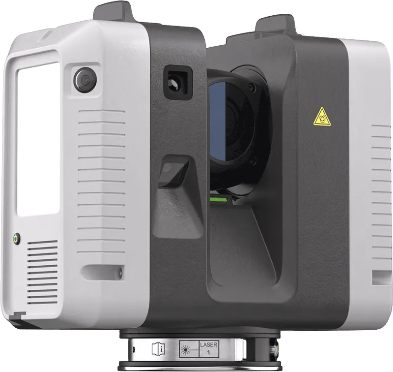
Ray II for static, survey-grade stations
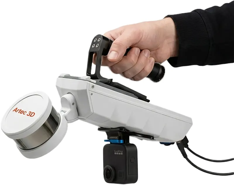
Jet for mobile capture at walking pace
Georeferencing against control, decimated deliverables on request
Buy the kit, hire it, or have us capture the site.
What LiDAR is good at
Survey work is where LiDAR earns its living: topographic capture, as-built records, stockpile and excavation volumes, and repeat monitoring where the question is what has moved since last time. It is fast over distance and it does not care about surface finish, which is the opposite of a structured-light scanner.
Static or mobile
Artec Ray II — tripod-mounted, survey-grade, for accuracy over distance and for control-tied work
Artec Jet — mobile, capturing at walking pace, for sites too large to set up in repeatedly
Registered against your control points, decimated to whatever your software can carry
What comes back
E57, LAS and LAZ as standard; RCP where the project is Autodesk-based. Volumes come as a report with the surfaces they were computed from, so the number can be checked rather than trusted. Monitoring jobs come as a difference against the previous capture, which is the only form of the answer anybody actually wants.
Three ways to do it
Buy the kit and run it yourself — we train and support it in the UK. Hire it for the job and give it back. Or send us the site and we will capture it. Which one is cheaper depends entirely on how often you will do this again, and we will tell you honestly which side of that line you are on.