.svg)
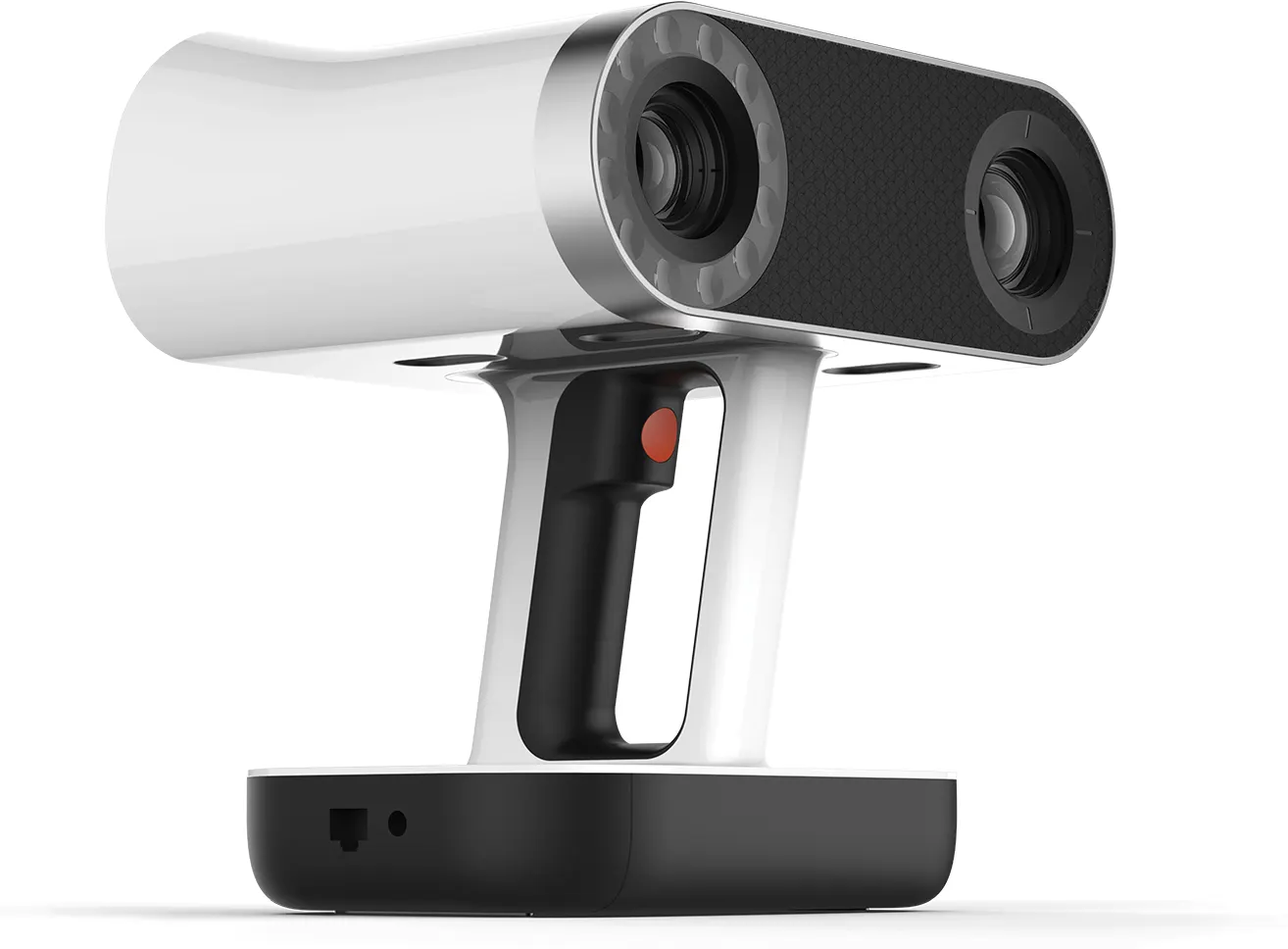
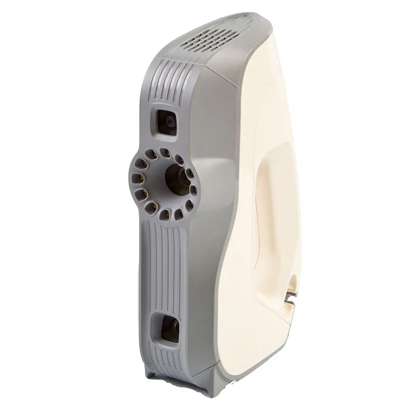
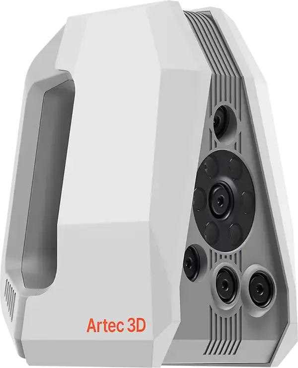
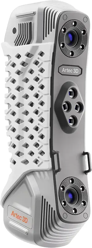
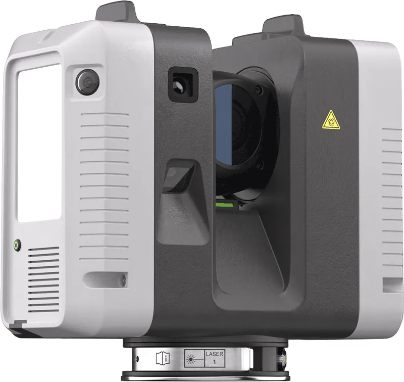
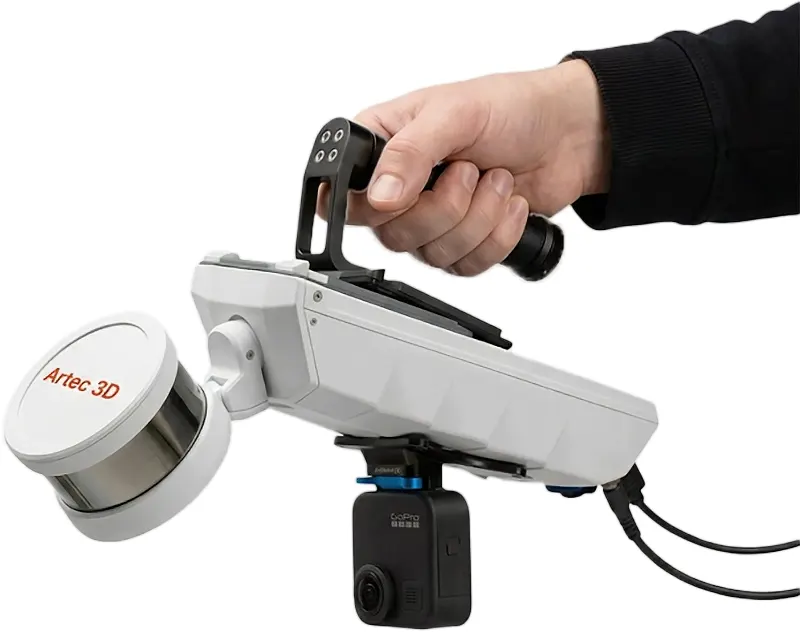
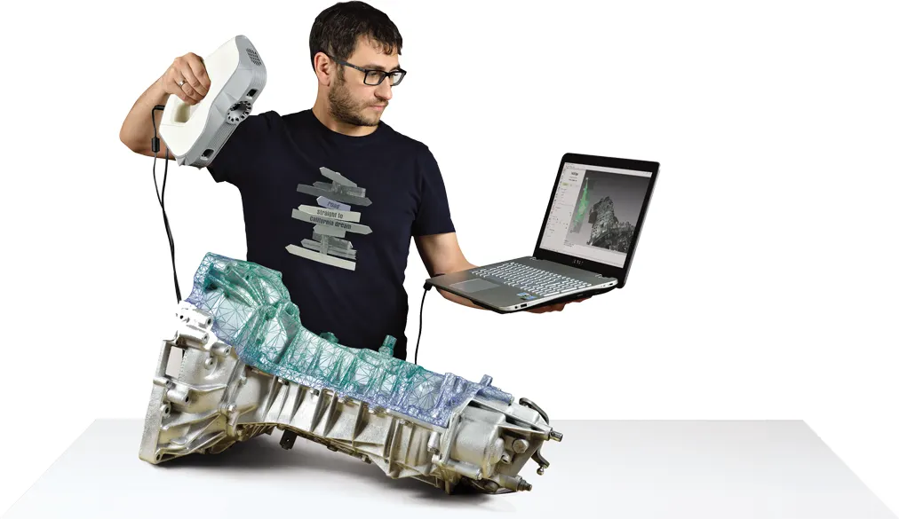
We bring the scanners to the site and hand back a registered point cloud your team can trust: buildings, plant, infrastructure and land, captured with terrestrial LiDAR and mobile SLAM.
Deliverables
Registered point clouds — E57, LAS/LAZ, RCP-ready for Revit
Georeferenced against control where the project needs it
Decimated working sets alongside the full-resolution archive
Meshes and 2D extractions on request
Scoped honestly
This is reality capture: we deliver the point cloud and work alongside your modelling or design team. Where a project needs full BIM authoring we will say so and partner accordingly, rather than stretch the scope quietly.
Factories and plant rooms — capture without stopping production
Heritage structures — record before and during works
Confined and awkward spaces — mobile SLAM goes where tripods cannot
Describe the site — location, size, access and what the cloud is for — and we will quote it properly.